Straight to the point for measurement

Leica Geosystems says it is introducing a major advance in site surveying. This offers a novel tilt compensation system, so that users are no longer required to hold the pole vertical. The new Leica GS18 T is claimed to be the world’s fastest GNSS RTK rover, while the firm is also offering the latest versions of Leica Captivate field software and Leica Infinity office software. With the addition of calibration-free GNSS and various upgrades to the Captivate field software and Infinity office software, use
February 6, 2018 Read time: 2 mins
More accurate measurements can be taken more quickly with the new package from Leica Geosystems
265 Leica Geosystems says it is introducing a major advance in site surveying. This offers a novel tilt compensation system, so that users are no longer required to hold the pole vertical. The new Leica GS18 T is claimed to be the world’s fastest GNSS RTK rover, while the firm is also offering the latest versions of Leica Captivate field software and Leica Infinity office software.


With the addition of calibration-free GNSS and various upgrades to the Captivate field software and Infinity office software, users are said to benefit from self-learning GNSS and engaging, intuitive software interfaces.  

Improved efficiency is claimed for the GS18 as a user no longer has to level the pole nor calibrate the system. The GS18 T is a calibration-free and tilt compensating GNSS RTK rover that is also said to be immune to magnetic disturbances. GNSS measurements can be taken from any position on site, saving users up to 20% of time in the field over conventional surveying practices according to the firm. As the only GNSS RTK rover to use precise enough inertial measuring units (IMUs) and not a compass, users can measure with a tilted pole close to buildings or metallic objects.

The GS18 T records how the pole was levelled during the measurement and stores the values, ensuring measurement traceability and quality reporting. Easy-to-use, the new GNSS RTK rover ensures users and managers increase productivity and reduce time on site.

Fully supporting the GS18 T, Leica Captivate v3.0 field software and Leica Infinity v2.4 office software now offer users a more immersive means of control on site and at the desk. Captivate allows configuration of the GS18 T for all measuring and staking applications and the visualisation of tilt compensated measurements. Measured data can be directly imported into Infinity or exported into a variety of formats suitable for CAD packages. Within Infinity, users can visualise the measured data, including the creation of reports providing traceability and quality assurance.

For more information on companies in this article

Related Content

  • Concrete production innovation – mobility the key
    July 5, 2016
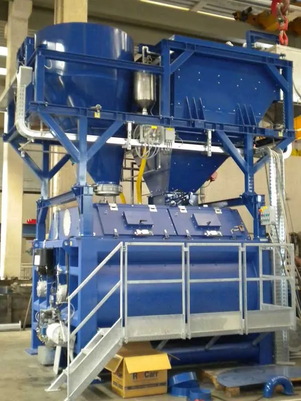
    Versatility and productivity are key drivers for the concrete plant sector - Mike Woof writes. The days of most construction machines being expressly designed and built for a single specific purpose have gone. These days construction equipment is largely intended to be versatile and adaptable, allowing it to be operated in a wide array of applications and duties. New concrete plants are designed too for mobility as this allows users to set up highly productive equipment quickly on basic sites, with little p
  • Soil compaction innovations abound
    October 26, 2012
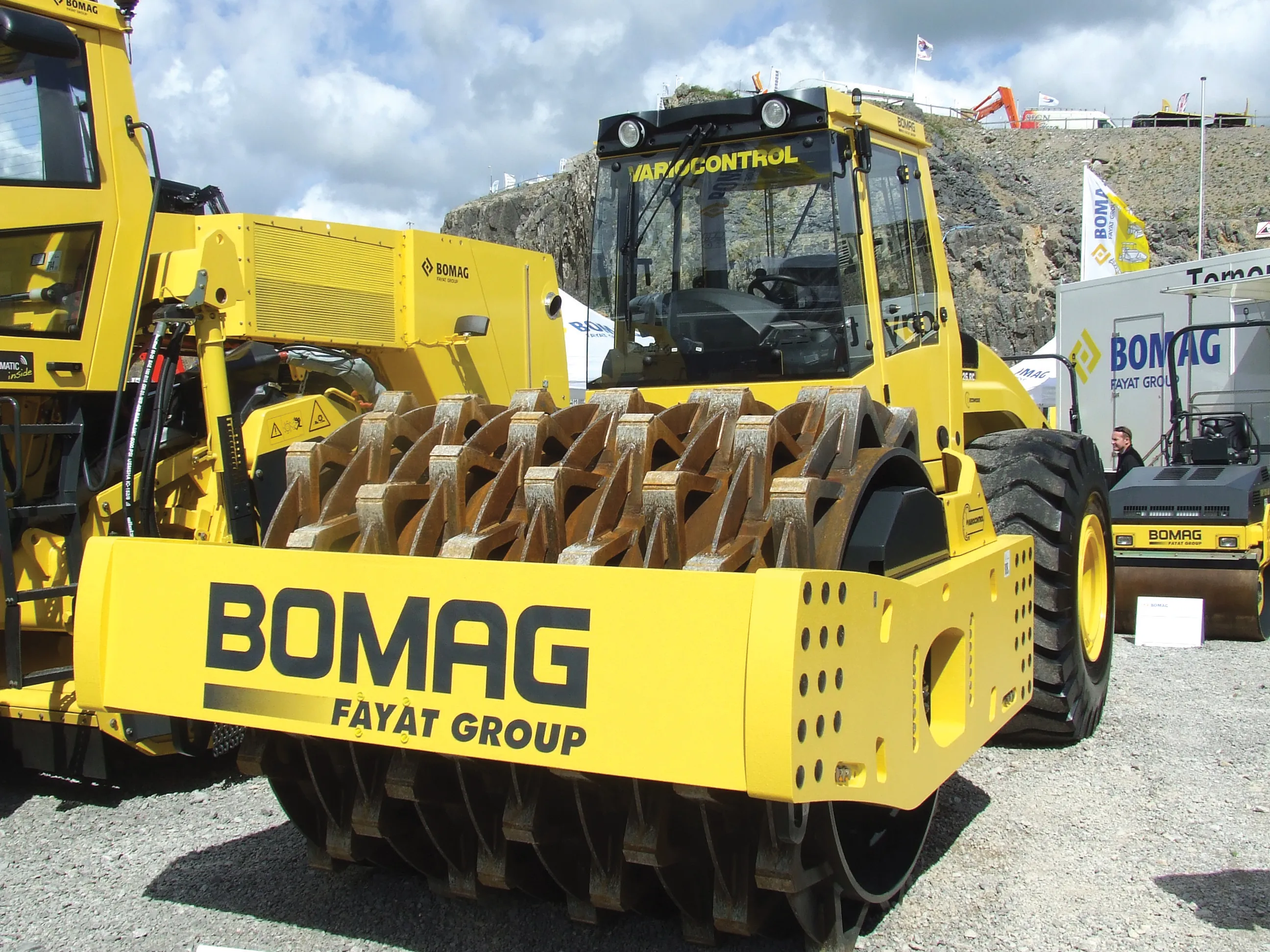
    Manufacturers continue to innovate with sophisticated new soil compaction machines - Mike Woof reports This year has seen the introduction of a series of new soil compaction machines, as manufacturers develop their product ranges. Meeting emission legislation requirements in Europe and North America has helped drive firms to install the latest engine designs. Meanwhile machines have also evolved as companies further refine operating features. The global market for compaction machines has been dominated by
  • Tolling innovation
    January 4, 2013
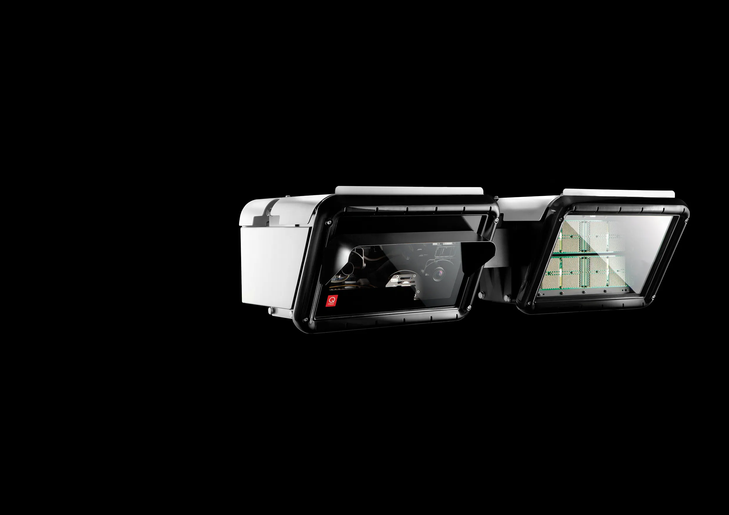
    Leading European tolling solution companies are involved in a number of innovative tolling projects across the continent and further afield. Guy Woodford looks at some of the latest Siemens Mobility & Logistics (SML) has received orders from Eurotoll and Total, two of France’s largest electronic toll on-board unit issuers, to supply technology for the new French toll collection system. The equipment comprises on-board units for the vehicles as well as the electronic detection system. The SML orders’, worth
  • SICK’s LMS 1000 and RMS 1000 sensors deliver the goods
    January 7, 2019
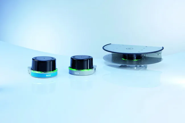
    SICK says that it’s recently launched LMS1000 and MRS1000 infrared LiDAR sensors deliver more accurate and reliable distance sensing and measurement, especially in difficult conditions. The robust, compact sensors weigh just 1.2kg and come with rotatable connectors for easy mounting on gantries. Heavy rain, mist, dust or snow can lead to false signals, explained Neil Sandhu, SICK’s national product manager for imaging, measurement, ranging and systems. The addition of SICK’s triple-echo HDDM+ - High Defini