Spot on with Trimble’s X7 3D scanner

The X7 solution was jointly developed by Trimble and Boston Dynamics.
By Mike Woof November 25, 2021 Read time: 2 mins
Autonomous surveying and scanning is possible using the new package from Trimble

Remote surveying and scanning can be achieved using the autonomous robotic system available from Trimble. The package combines the Spot robot autonomous rover unit with the Trimble X7 3D laser scanner and Trimble FieldLink software.

This solution has been jointly developed between Trimble and Boston Dynamics and allows autonomous operation on construction sites. The system takes advantage of the robot's ability to navigate challenging, dynamic and potentially unsafe environments. Trimble's 3D data capture technology can deliver a continuous flow of information between the field and the office for documentation of jobsite progress.

The innovative package allows users to make important decisions, rather than waiting for the information to be relayed to project staff. The integration is focused on the automated capture of field construction data through the use of Trimble 3D capture technology and the Spot robot. The autonomous workflow for the X7 laser scanner uses fully integrated Spot robot controls in FieldLink software to create a predefined path of waypoints for Spot to follow and collect laser scans.

Laser scans collected using the X7 scanner and the Spot robot can be tied to a jobsite project coordinate system, as well as individual scan stations. The data is collected, and then made into a composite point cloud in real-time on the Trimble tablet controller before leaving the site. While performing autonomous operations, Spot's docking station enables in-field charging of batteries on both the robot and the X7 3D laser scanner, and also provides the continuous transfer of data through a Gigabit Ethernet connection to the office.

For more information on companies in this article

Related Content

  • Delivering the smoothest road surfaces
    May 26, 2021
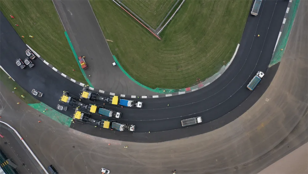
    Roads and highways have to be monitored and maintained regularly to ensure they are safe for use, and surface smoothness is a key factor for road quality. However, for racetracks (and airport runways) surface smoothness is even more important for safety and performance
  • The Year in Infrastructure 2016 Conference Showcases China’s BIM Advancements
    November 15, 2016
    Unprecedented Scope and Diversity of Finalists and Awardees; CABRTech CEO Mr. Jiefeng Xu Addresses Building Forum LONDON – The Year in Infrastructure 2016 Conference – 1 November 2016 – Bentley Systems, Incorporated, a leading global provider of comprehensive software solutions for advancing infrastructure, today reported respects in which China sets the pace globally for BIM advancements. This year, the independent juries of the Be Inspired Awards selected nine Chinese projects among 54 finalists, an
  • Game-changing ideas that deliver daily life and continue to evolve
    December 14, 2016
    As World Highways celebrates its 25-year anniversary this month, we thought that it would be a good moment to take a step back and look at the exciting times we live and work in, and pick out a few of the game-changing new products, technologies and services that have brought about so much innovation in our industry over the past quarter of a century. Where will these new ways of thinking and working take us next? The global highways market has been transformed in the lifetime of World Highways by high-v
  • Using ITS to maximise safety and traffic flow for cycling
    January 22, 2013
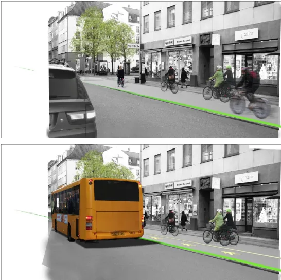
    Copenhagen, Denmark, has long been known as one of the world’s leading cities for cycling. In some areas of the city, the modal share of bikes has reached a level of as much as 50 %. And on some of the most frequently used bike paths the average daily number of cyclists is close to 30,000. As these numbers continue to rise, new ways of planning and implementing cycling infrastructure are needed. Increasingly, Danish traffic planners are turning to technology as a tool for planning cycling infrastructure. I