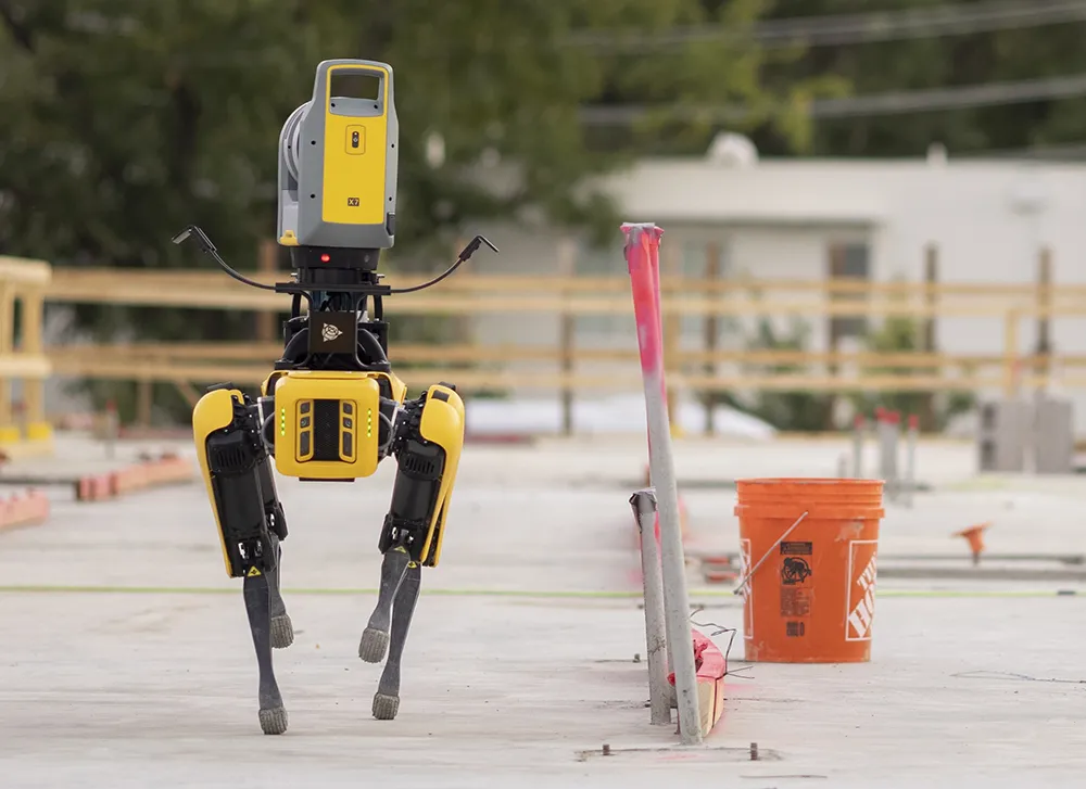
Spot on with Trimble’s X7 3D scanner

The X7 solution was jointly developed by Trimble and Boston Dynamics.
By Mike Woof November 25, 2021 Read time: 2 mins
Autonomous surveying and scanning is possible using the new package from Trimble

Remote surveying and scanning can be achieved using the autonomous robotic system available from Trimble. The package combines the Spot robot autonomous rover unit with the Trimble X7 3D laser scanner and Trimble FieldLink software.

This solution has been jointly developed between Trimble and Boston Dynamics and allows autonomous operation on construction sites. The system takes advantage of the robot's ability to navigate challenging, dynamic and potentially unsafe environments. Trimble's 3D data capture technology can deliver a continuous flow of information between the field and the office for documentation of jobsite progress.

The innovative package allows users to make important decisions, rather than waiting for the information to be relayed to project staff. The integration is focused on the automated capture of field construction data through the use of Trimble 3D capture technology and the Spot robot. The autonomous workflow for the X7 laser scanner uses fully integrated Spot robot controls in FieldLink software to create a predefined path of waypoints for Spot to follow and collect laser scans.

Laser scans collected using the X7 scanner and the Spot robot can be tied to a jobsite project coordinate system, as well as individual scan stations. The data is collected, and then made into a composite point cloud in real-time on the Trimble tablet controller before leaving the site. While performing autonomous operations, Spot's docking station enables in-field charging of batteries on both the robot and the X7 3D laser scanner, and also provides the continuous transfer of data through a Gigabit Ethernet connection to the office.

For more information on companies in this article

Related Content

  • Improving excavator efficiency with Trimble
    December 11, 2018
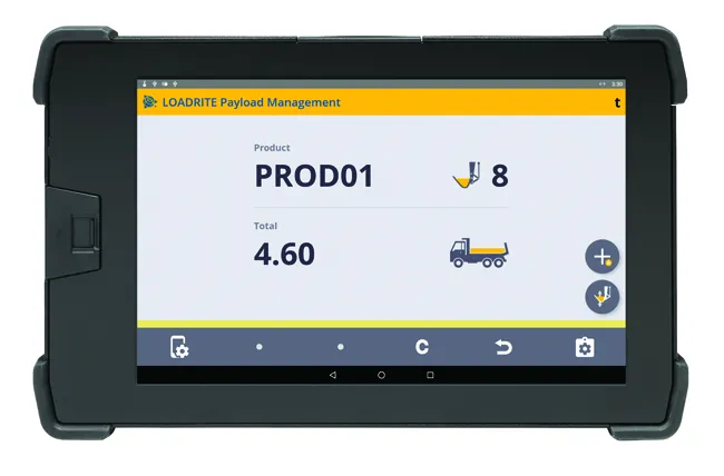
    A new development from Trimble is the integration of its LOADRITE load weighing system for excavators using the Earthworks Grade Control package. According to the firm, this will allow customers to boost productivity and efficiency for excavation work. Contractors will be able to track the load carried in each bucket and monitor mass haul progress. This can provide an accurate picture, real-time picture of earthworks progress using the Trimble Earthworks monitor fitted in the machine. This data will also be
  • The era of workzone data
    July 4, 2018
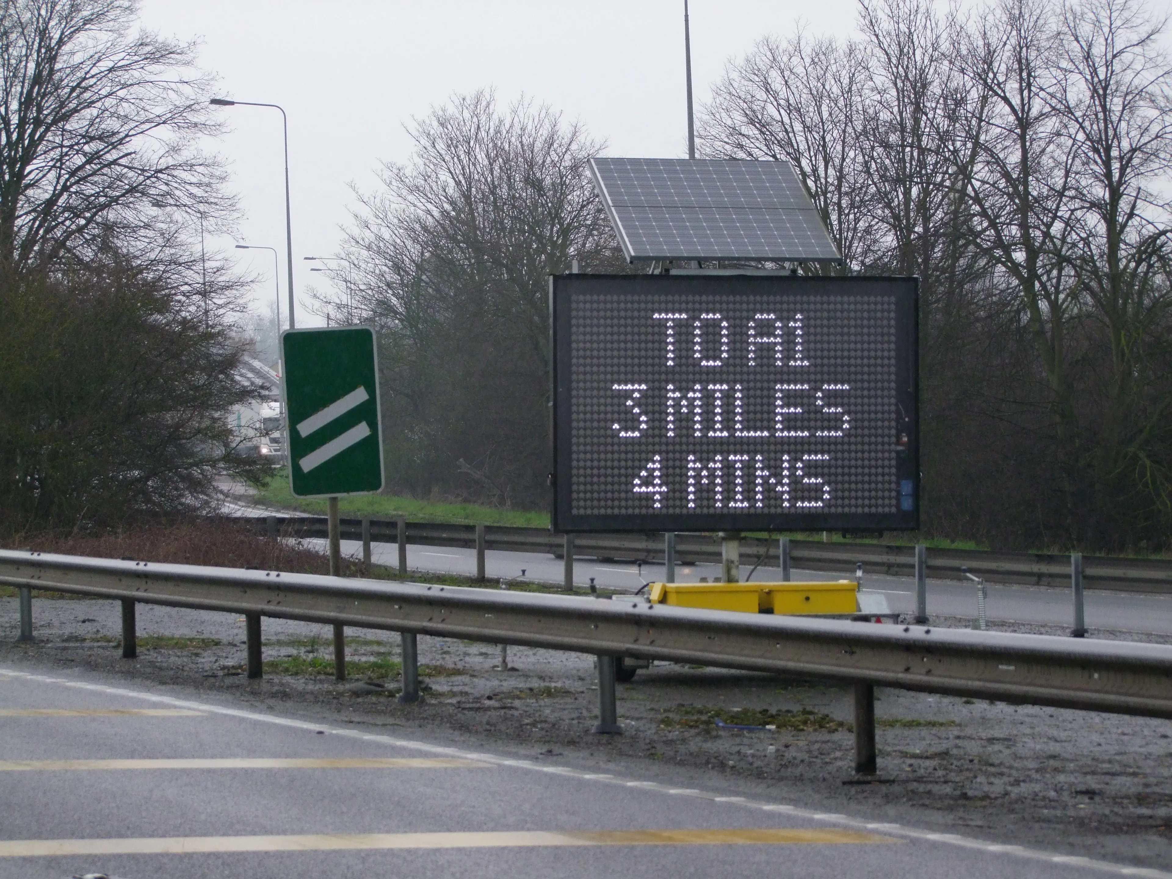
    Portable work zone messaging is now integral - not an add-on - when it comes to safety on large-scale highway projects. Andrew Williams* reports. Portable work zone ITS solutions have emerged in recent years as important flexible tools for managing major roadwork projects, from new-build to upgrades. They effectively ensure traffic disruption is kept to a minimum and lives can be saved. As such, the technology forms a central component of a major €1.7 billion project in the southern English county of Cambr
  • Technology and collaboration bring massive time savings
    December 2, 2021
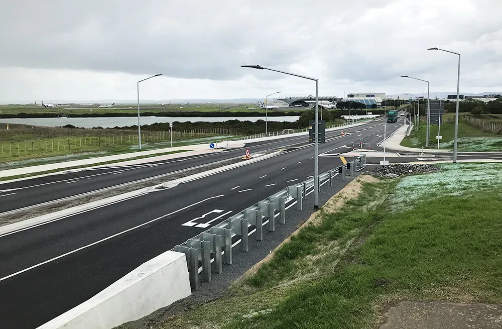
    The link between any major city and its airport is a crucial one. In Auckland, New Zealand, State Highway 20B connects the city of 1.6 million people with the rest of the nation and the international airport, one of only two roads leading there
  • GPS machine control boosts road surface quality
    February 14, 2012
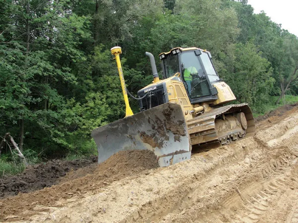
    The use of GPS machine control on sub-base has improved final rideability on a major highway reconstruction project. Innovative construction techniques have helped to upgrade a 9.6km stretch of the 307km long I-96 highway in the US state of Michigan. The Michigan Department of Transportation (MDOT) project was initiated in the third quarter of 2009 and was completed in the fourth quarter of 2010. Interstate Highway Construction acted as general contractor on the project, which included widening the shoulder