Spot on with Trimble’s X7 3D scanner

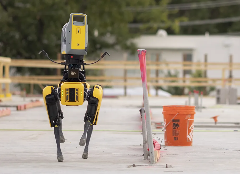
The X7 solution was jointly developed by Trimble and Boston Dynamics.
By Mike Woof November 25, 2021 Read time: 2 mins
Autonomous surveying and scanning is possible using the new package from Trimble

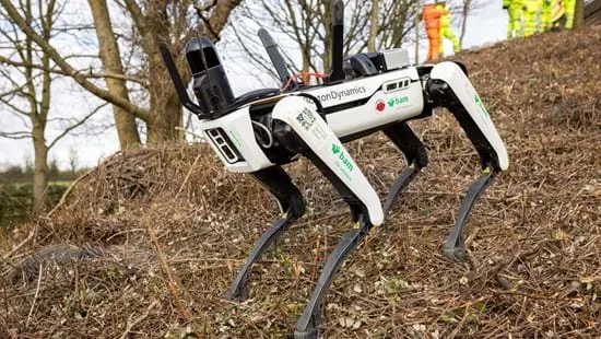
Remote surveying and scanning can be achieved using the autonomous robotic system available from Trimble. The package combines the Spot robot autonomous rover unit with the Trimble X7 3D laser scanner and Trimble FieldLink software.

This solution has been jointly developed between Trimble and Boston Dynamics and allows autonomous operation on construction sites. The system takes advantage of the robot's ability to navigate challenging, dynamic and potentially unsafe environments. Trimble's 3D data capture technology can deliver a continuous flow of information between the field and the office for documentation of jobsite progress.

The innovative package allows users to make important decisions, rather than waiting for the information to be relayed to project staff. The integration is focused on the automated capture of field construction data through the use of Trimble 3D capture technology and the Spot robot. The autonomous workflow for the X7 laser scanner uses fully integrated Spot robot controls in FieldLink software to create a predefined path of waypoints for Spot to follow and collect laser scans.

Laser scans collected using the X7 scanner and the Spot robot can be tied to a jobsite project coordinate system, as well as individual scan stations. The data is collected, and then made into a composite point cloud in real-time on the Trimble tablet controller before leaving the site. While performing autonomous operations, Spot's docking station enables in-field charging of batteries on both the robot and the X7 3D laser scanner, and also provides the continuous transfer of data through a Gigabit Ethernet connection to the office.

For more information on companies in this article

Related Content

  • Quantm is making Trimble one of the world’s leading BIM market challengers
    December 19, 2016
    When Trimble first launched its Quantm software system a decade or so ago, the company was making an important step into end-to-end BIM modelling. The rules of the game were changing fast. Adrian Greeman reports When survey and machine control equipment maker Trimble bought the Australian road planning software system Quantm in 2006 it might not have realised quite what it was leading to. A decade later, Quantm is helping to put Trimble among the big players in the BIM (building information modelling) en
  • Motorway surveys for Spot the robotic dog
    March 1, 2024
    Spot, from Boston Dynamics, is being trialled by National Highways, BAM Ritchies - the ground engineering division of BAM Nuttall - and AECOM.
  • Lima's massive $2 billion airport project
    March 4, 2025
    Peru’s capital, Lima, is to benefit from a massive new international airport, which will be one of the largest in Latin America – Mike Woof writes
  • Construction software boosts operating efficiency
    March 5, 2012
    Intelligent data handling and management technologies are helping boost operating efficiency - Mike Woof reports The construction software sector and GIS market are seeing a rapid development of new products and technologies that will help boost efficiency, with factors such as data management and platform integration being key focus areas.