Sophisticated scanning tool from Leica Geosystems

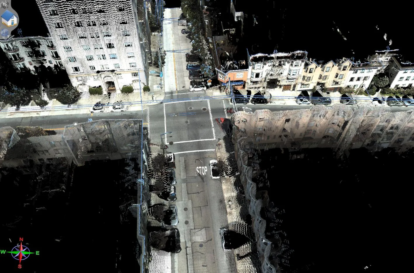
A new laser scanning tool from Leica Geosystems offers accurate and fast 3D imaging laser scanning capabilities. The Leica BLK360 is said to be compact and easy to use, offering powerful spherical image capture duties. The firm says that the unit allows professionals to capture 360° imagery within minutes.
November 8, 2017 Read time: 1 min
A new laser scanning tool from 265 Leica Geosystems offers accurate and fast 3D imaging laser scanning capabilities. The Leica BLK360 is said to be compact and easy to use, offering powerful spherical image capture duties. The firm says that the unit allows professionals to capture 360° imagery within minutes.


Users place the lightweight BLK360 on a level surface or tripod and, with the push of a single button, it captures the HDR spherical imagery and takes a 360,000 point/second laser scan. Getting measurements right first time, the BLK360 features +-4mm accuracy at 10m and an overall 0.6 - 60m range. Within three minutes, the spherical image and laser scan is completed and ready to view in the 685 Autodesk ReCap Pro for mobile app, which runs on an iPad Pro. From there, users can take measurements, add markup and annotations or share onsite data in the office.

For more information on companies in this article

Related Content

  • SICK’s Free Flow Profiler scans vehicles on the move
    August 27, 2019
    SICK has launched the Free Flow Profiler vehicle measurement system that enables highly accurate 3D profiling of vehicles across multiple lanes in free-flow traffic The company says that the Free Flow Profiler is a “versatile and adaptable” all-weather system. It is “ideal for vehicle tolling and classification uses, especially useful in operations such as optimal weight loading of ferries or trains and for verifying vehicle dimensions to maximise revenue recovery”. During multilane, free road movem
  • From Topcon comes a sophisticated mapping system
    January 6, 2017
    Topcon Europe Positioning says that its new IP-S2 Compact+ package is an innovative mobile mapping system that can accurately measure objects even in adverse weather conditions and enclosed job sites such as tunnels and mines. This replaces the earlier Topcon’s IP-S2 system, launched in 2009. The new vehicle-mounted system has improved scanner orientation to optimise visibility of roadside assets and is packaged in an affordable, compact system that fits on a car or truck. It offers full-colour, high-resolu
  • From Topcon comes a sophisticated mapping system
    February 8, 2013
    Topcon Europe Positioning says that its new IP-S2 Compact+ package is an innovative mobile mapping system that can accurately measure objects even in adverse weather conditions and enclosed job sites such as tunnels and mines. This replaces the earlier Topcon’s IP-S2 system, launched in 2009. The new vehicle-mounted system has improved scanner orientation to optimise visibility of roadside assets and is packaged in an affordable, compact system that fits on a car or truck. It offers full-colour, high-resolu
  • New non-destructive testing technologies for roads and bridges
    July 11, 2018
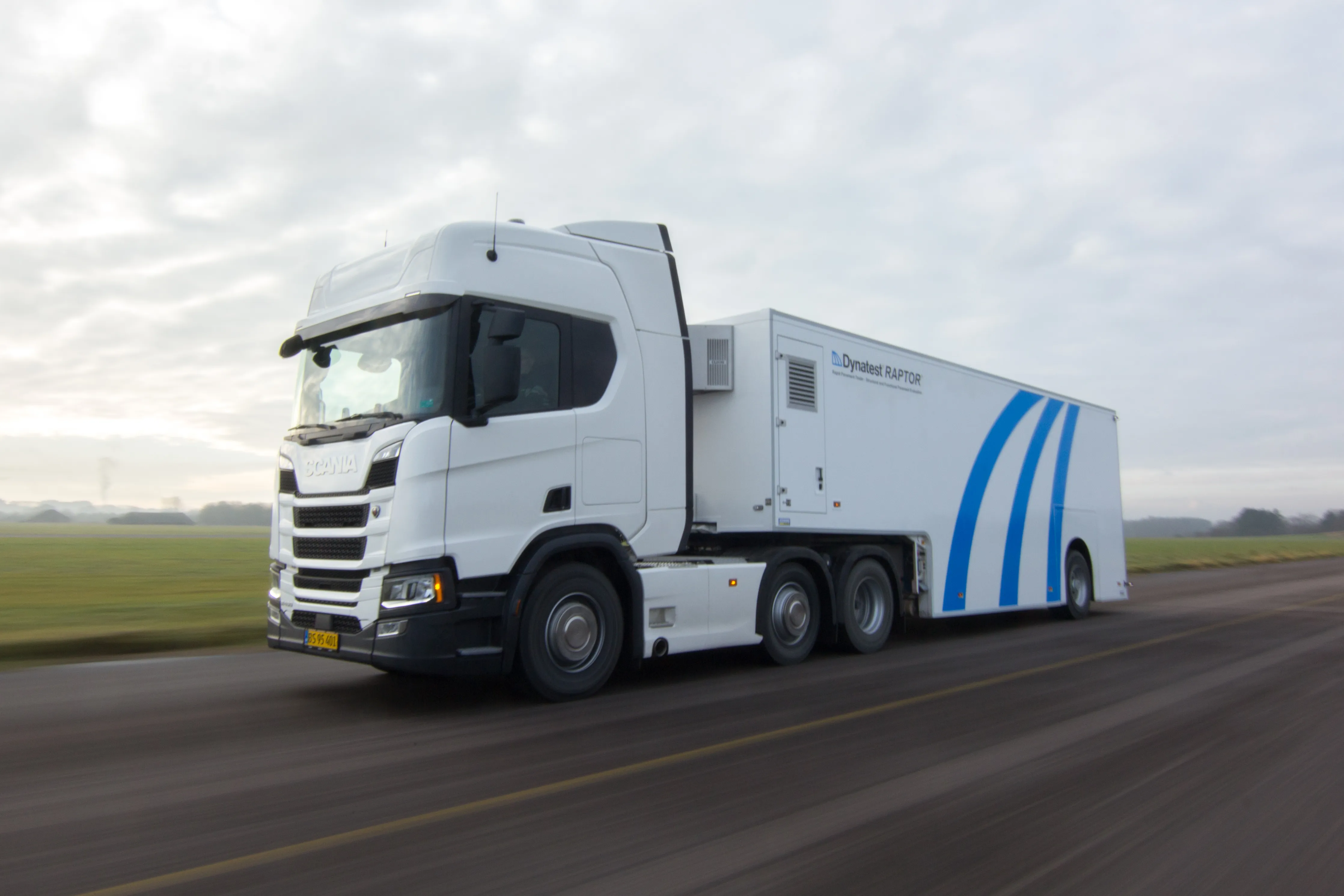
    Two new technologies for non-destructive testing offer key benefits, one suiting road surfaces, the other suiting concrete structures - Kristina Smith reports Dynatest has developed a new way to measure and record the state of pavements, using a machine that travels at the same speed as traffic. The Rapid Pavement Tester (Raptor) has been seven years in the making and offers road owners the chance to have comprehensive surveys without the need to disrupt traffic. “People have been wanting to do this for