Sophisticated scanning tool from Leica Geosystems

A new laser scanning tool from Leica Geosystems offers accurate and fast 3D imaging laser scanning capabilities. The Leica BLK360 is said to be compact and easy to use, offering powerful spherical image capture duties. The firm says that the unit allows professionals to capture 360° imagery within minutes.
November 8, 2017 Read time: 1 min
A new laser scanning tool from 265 Leica Geosystems offers accurate and fast 3D imaging laser scanning capabilities. The Leica BLK360 is said to be compact and easy to use, offering powerful spherical image capture duties. The firm says that the unit allows professionals to capture 360° imagery within minutes.


Users place the lightweight BLK360 on a level surface or tripod and, with the push of a single button, it captures the HDR spherical imagery and takes a 360,000 point/second laser scan. Getting measurements right first time, the BLK360 features +-4mm accuracy at 10m and an overall 0.6 - 60m range. Within three minutes, the spherical image and laser scan is completed and ready to view in the 685 Autodesk ReCap Pro for mobile app, which runs on an iPad Pro. From there, users can take measurements, add markup and annotations or share onsite data in the office.

For more information on companies in this article

Related Content

  • Intelligent paving tool from BOMAG
    April 9, 2025

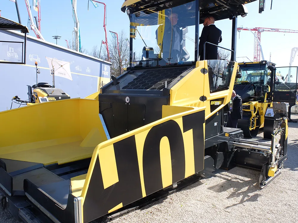
    The innovative BOMAP Pave solution offers connected construction capabilities for paving works. BOMAG’s new system allows networking of pavers and rollers, boosting efficiency and quality in asphalt paving jobs.

    Pavers and asphalt rollers can be connected within an open, manufacturer-independent system. This allows control of the paving process from asphalt delivery to compaction. It provides users with full transparency in real time, reducing coordination effort and sustainably improving site processes.

  • Sokkia’s sophisticated survey system
    May 25, 2016
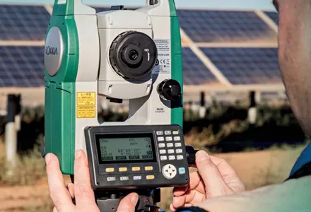
    Sokkia is now adding two new editions to its CX total station series, both featuring enhanced reflectorless operation. The new CX-50 is designed to provide an entry-level option with a fast and powerful EDM. The CX-100LN is built to offer a long-range reflectorless EDM. The CX-50 is said to be easy to use and highly accurate, offering reflectorless electronic distance measurement (EDM) of up to 350m, and EDM of 4,000m with the use of a prism. The firm says that in addition, the CX-100LN features a 2,000m
  • Improved survey data handling
    August 2, 2012
    Leica Geosystems says that its Leica MobileMatriX v3.0 package can be used to synchronise survey data with an enterprise geodatabase, transfer digital images taken from a mobile phone via Bluetooth and link it with a feature, in addition to many other improvements. The firms says that its MobileMatriX v3.0 package offers a flexible and powerful mobile GIS application and can be used in both large projects and small projects involving only a few field crews. Survey data can be replicated within the editing p
  • Developments in concrete pavers boosts quality
    July 13, 2012
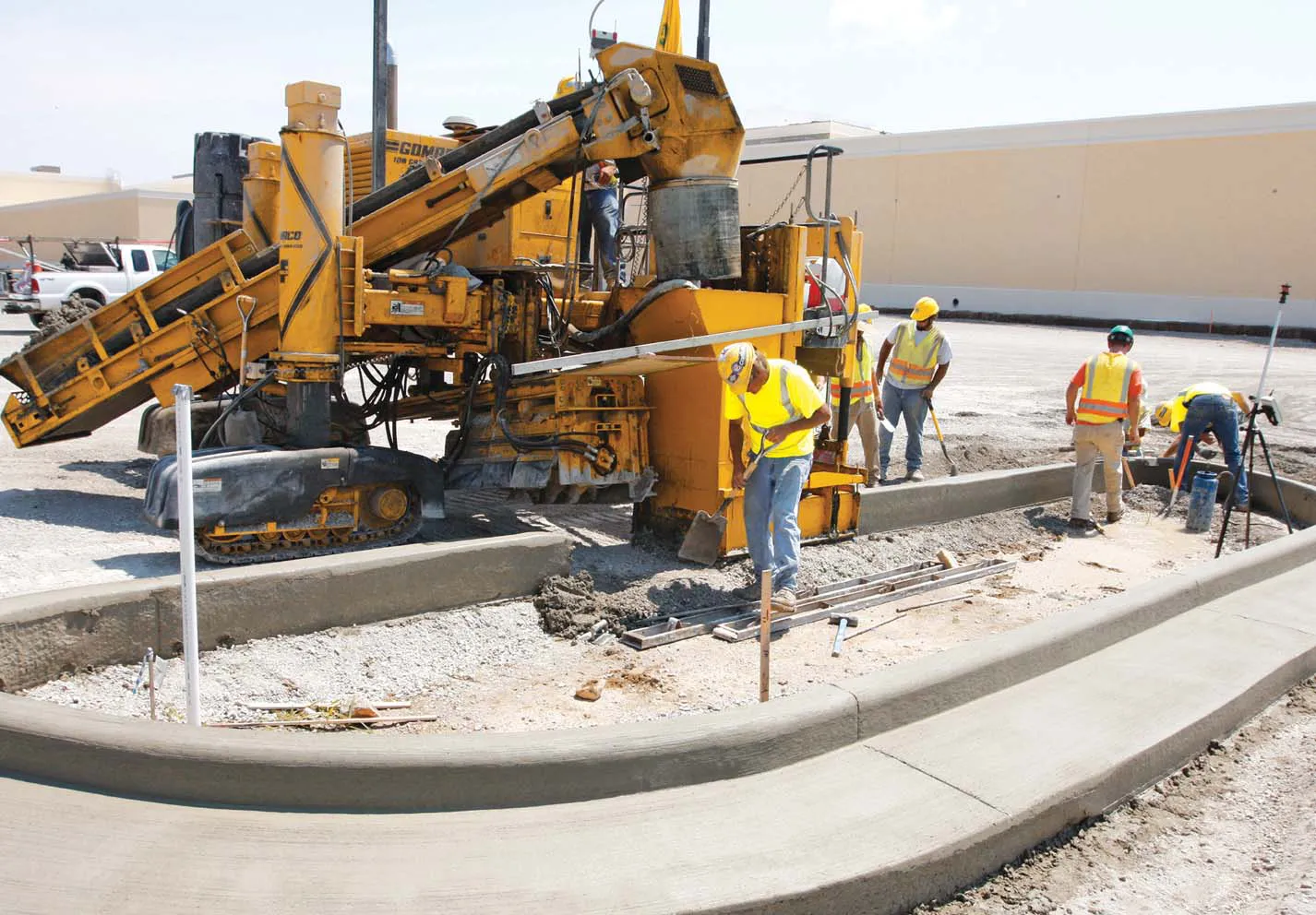
    The latest technology continues to improve the quality of concrete paving while contractors are also benefiting from more adaptable equipment - Mike Woof reports For many concrete paving applications, versatility is required rather than a high production rate. Leading paver manufacturers such as GOMACO, Power Curbers, Terex and Wirtgen all offer high mobility machines that can be adjusted to cope with an array of tasks. For a contractor, the advantage of these smaller pavers is that they can be configured q