Sophisticated scanning tool from Leica Geosystems

A new laser scanning tool from Leica Geosystems offers accurate and fast 3D imaging laser scanning capabilities. The Leica BLK360 is said to be compact and easy to use, offering powerful spherical image capture duties. The firm says that the unit allows professionals to capture 360° imagery within minutes.
November 8, 2017 Read time: 1 min
A new laser scanning tool from 265 Leica Geosystems offers accurate and fast 3D imaging laser scanning capabilities. The Leica BLK360 is said to be compact and easy to use, offering powerful spherical image capture duties. The firm says that the unit allows professionals to capture 360° imagery within minutes.


Users place the lightweight BLK360 on a level surface or tripod and, with the push of a single button, it captures the HDR spherical imagery and takes a 360,000 point/second laser scan. Getting measurements right first time, the BLK360 features +-4mm accuracy at 10m and an overall 0.6 - 60m range. Within three minutes, the spherical image and laser scan is completed and ready to view in the 685 Autodesk ReCap Pro for mobile app, which runs on an iPad Pro. From there, users can take measurements, add markup and annotations or share onsite data in the office.

For more information on companies in this article

Related Content

  • French fine milling achieved
    January 10, 2025
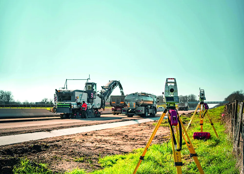
    Contractor 2AGE-MCS achieved precision and speed in milling the Route Centre-Europe Atlantique in France with the use of 3D technology
  • A novel compact grading solution
    October 16, 2012
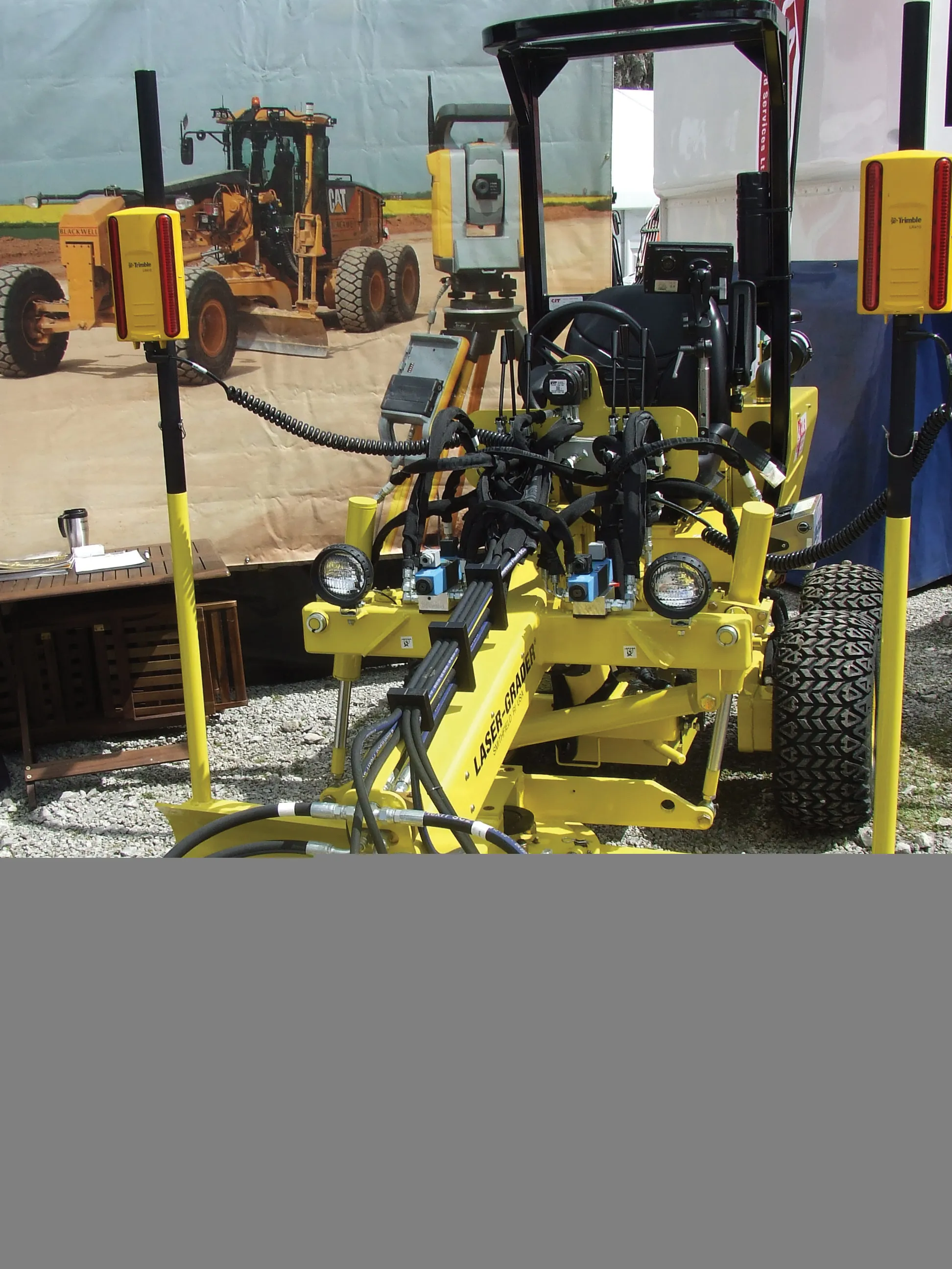
    One of the interesting developments at the recent Hillhead quarry show in the UK, was of a rather more compact machine than usually seen at the exhibition. A UK equipment rental firm, CLS Selfdrive, revealed a US-manufactured compact grader equipped with machine control equipment. This is of note seeing that such machine control technologies are usually fitted to much larger machines. The increasing proliferation of the systems and the reduction in costs in real terms however means that this technology is n
  • Accurate instruments
    February 28, 2012
    Rugged and durable, the new Rugby 260SG, 270SG and 280DG lasers from Leica Geosystems are said to suit a wide range of construction duties. These multipurpose horizontal/vertical grade lasers can be used for flat and grade applications and are equipped with a large LCD display and a five button key pad.
  • Excavator guidance system from Leica Geosystems
    March 12, 2018
    Leica Geosystems is now offering a new iCON iXE solution aimed at boosting the versatility of excavators. The package allows the tilt function on a tilt rotator to be handled automatically, increasing versatility and accuracy. This new package can be used on excavators equipped with 2D or 3D excavator guidance solutions from Leica Geosystems and tilt rotators supported by SVAB Quantum. The iXE CoPilot package means that the tilt will automatically be adjusted so it is held parallel to the surface as the o