Sophisticated scanning tool from Leica Geosystems

A new laser scanning tool from Leica Geosystems offers accurate and fast 3D imaging laser scanning capabilities. The Leica BLK360 is said to be compact and easy to use, offering powerful spherical image capture duties. The firm says that the unit allows professionals to capture 360° imagery within minutes.
November 8, 2017 Read time: 1 min
A new laser scanning tool from 265 Leica Geosystems offers accurate and fast 3D imaging laser scanning capabilities. The Leica BLK360 is said to be compact and easy to use, offering powerful spherical image capture duties. The firm says that the unit allows professionals to capture 360° imagery within minutes.


Users place the lightweight BLK360 on a level surface or tripod and, with the push of a single button, it captures the HDR spherical imagery and takes a 360,000 point/second laser scan. Getting measurements right first time, the BLK360 features +-4mm accuracy at 10m and an overall 0.6 - 60m range. Within three minutes, the spherical image and laser scan is completed and ready to view in the 685 Autodesk ReCap Pro for mobile app, which runs on an iPad Pro. From there, users can take measurements, add markup and annotations or share onsite data in the office.

For more information on companies in this article

Related Content

  • SICK’s LMS 1000 and RMS 1000 sensors deliver the goods
    January 7, 2019
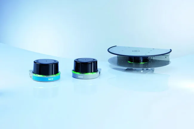
    SICK says that it’s recently launched LMS1000 and MRS1000 infrared LiDAR sensors deliver more accurate and reliable distance sensing and measurement, especially in difficult conditions. The robust, compact sensors weigh just 1.2kg and come with rotatable connectors for easy mounting on gantries. Heavy rain, mist, dust or snow can lead to false signals, explained Neil Sandhu, SICK’s national product manager for imaging, measurement, ranging and systems. The addition of SICK’s triple-echo HDDM+ - High Defini
  • Leica’s growing support network
    April 23, 2013
    Leica Geosystems has launched Leica Zeno Office v3.1 and Leica MobileMatriX v5.1 software updates for the Zeno GIS series. Leica Zeno Office v3.1 and MobileMatriX v5.1 now support the new Leica CS25 GNSS, an innovative tablet computer and high accuracy data collector; Esri ArcGIS 10.0/10.1; and post-processing accuracy improvements. Johannes Hotz, senior product manager, says: “Both Zeno Office, in combination with Leica Zeno Field, and MobileMatriX further support the measurement of positions and associate
  • Tough competition in concrete paving market
    February 13, 2012
    One thing is clear in the concrete slipforming sector. This comparatively niche market for equipment is rapidly becoming a good deal more competitive as key manufacturers jostle for position.
  • Leica Geosystems introduces smart monitoring of structures
    October 1, 2014
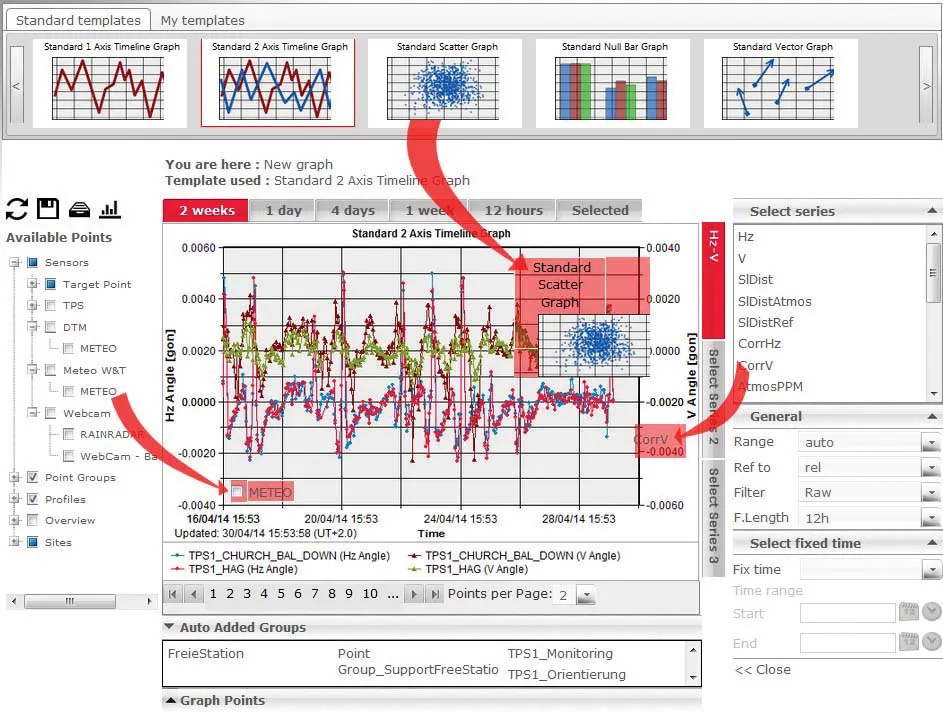
    Highly sophisticated, the Leica GeoMoS Now! From Leica Geosystems is a new web-based application enables on-the-go visualisation and analysis of structural and ground movement monitoring data. With this package, large quantities of geodetic and geotechnical data are said to be easier to handle with simplified workflows using automatic configuration and distribution tools. The package can quickly notify users of any changes in data for faster, more informed responses. Leica GeoMoS Now! allows users t