Sophisticated scanning tool from Leica Geosystems

A new laser scanning tool from Leica Geosystems offers accurate and fast 3D imaging laser scanning capabilities. The Leica BLK360 is said to be compact and easy to use, offering powerful spherical image capture duties. The firm says that the unit allows professionals to capture 360° imagery within minutes.
November 8, 2017 Read time: 1 min
A new laser scanning tool from 265 Leica Geosystems offers accurate and fast 3D imaging laser scanning capabilities. The Leica BLK360 is said to be compact and easy to use, offering powerful spherical image capture duties. The firm says that the unit allows professionals to capture 360° imagery within minutes.


Users place the lightweight BLK360 on a level surface or tripod and, with the push of a single button, it captures the HDR spherical imagery and takes a 360,000 point/second laser scan. Getting measurements right first time, the BLK360 features +-4mm accuracy at 10m and an overall 0.6 - 60m range. Within three minutes, the spherical image and laser scan is completed and ready to view in the 685 Autodesk ReCap Pro for mobile app, which runs on an iPad Pro. From there, users can take measurements, add markup and annotations or share onsite data in the office.

For more information on companies in this article

Related Content

  • Wireless remote control a key feature of new concrete pavers
    March 20, 2012
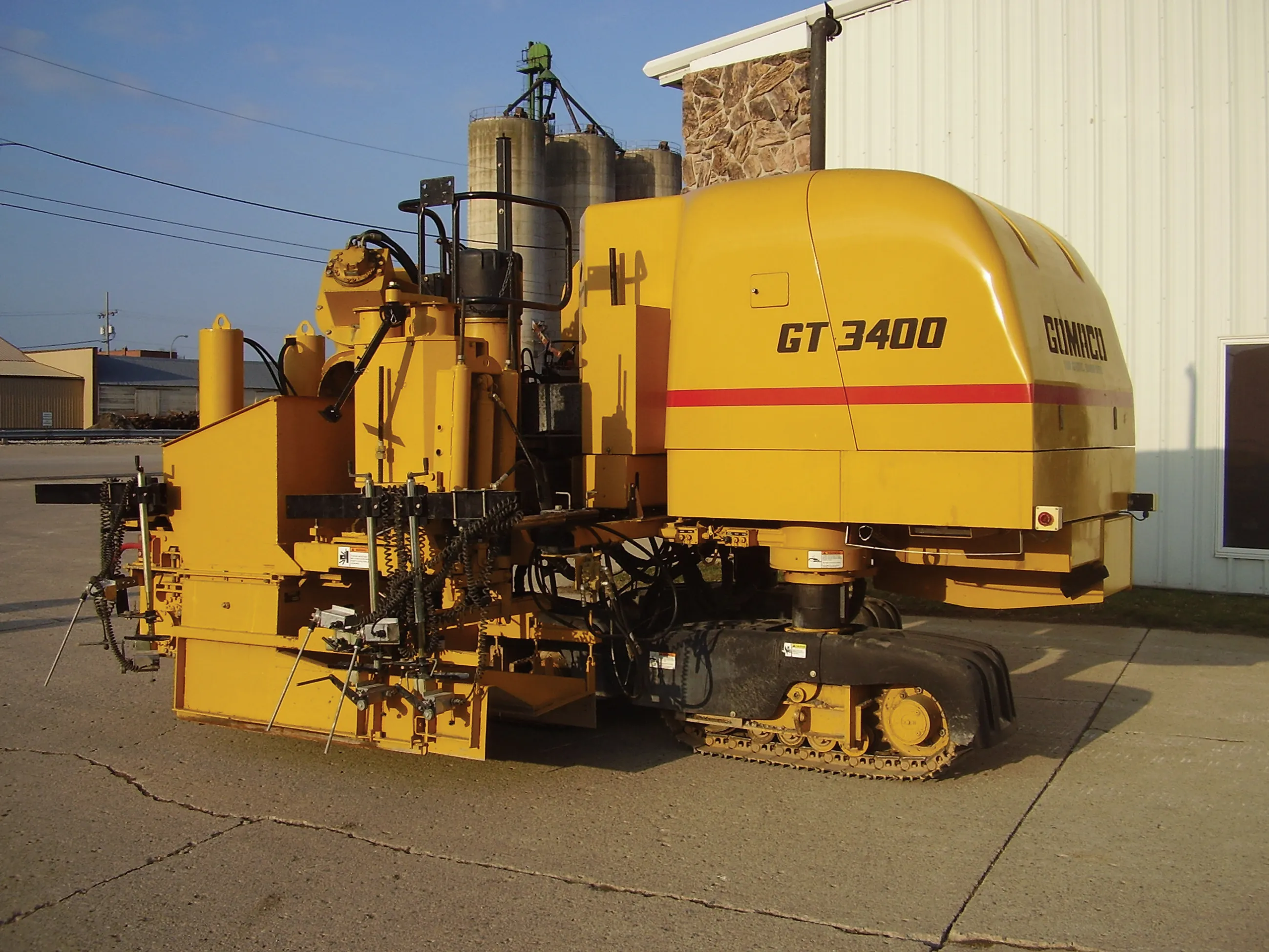
    Slipform paver manufacturers are currently seeing strong business gains, Mike Woof reports The concrete slipforming sector is seeing strong business gains at present, with high demand for machines right around the globe. In Europe and the US, barrier machines are in particular demand, while in Russia airport paving is top of the agenda. All over the world, airports have to be rebuilt to cope with new large aircraft, and machines are busy operating in Asia, Europe and both North and South America on this
  • Leica Geosystems launches iCON for wheeled loaders
    January 6, 2017
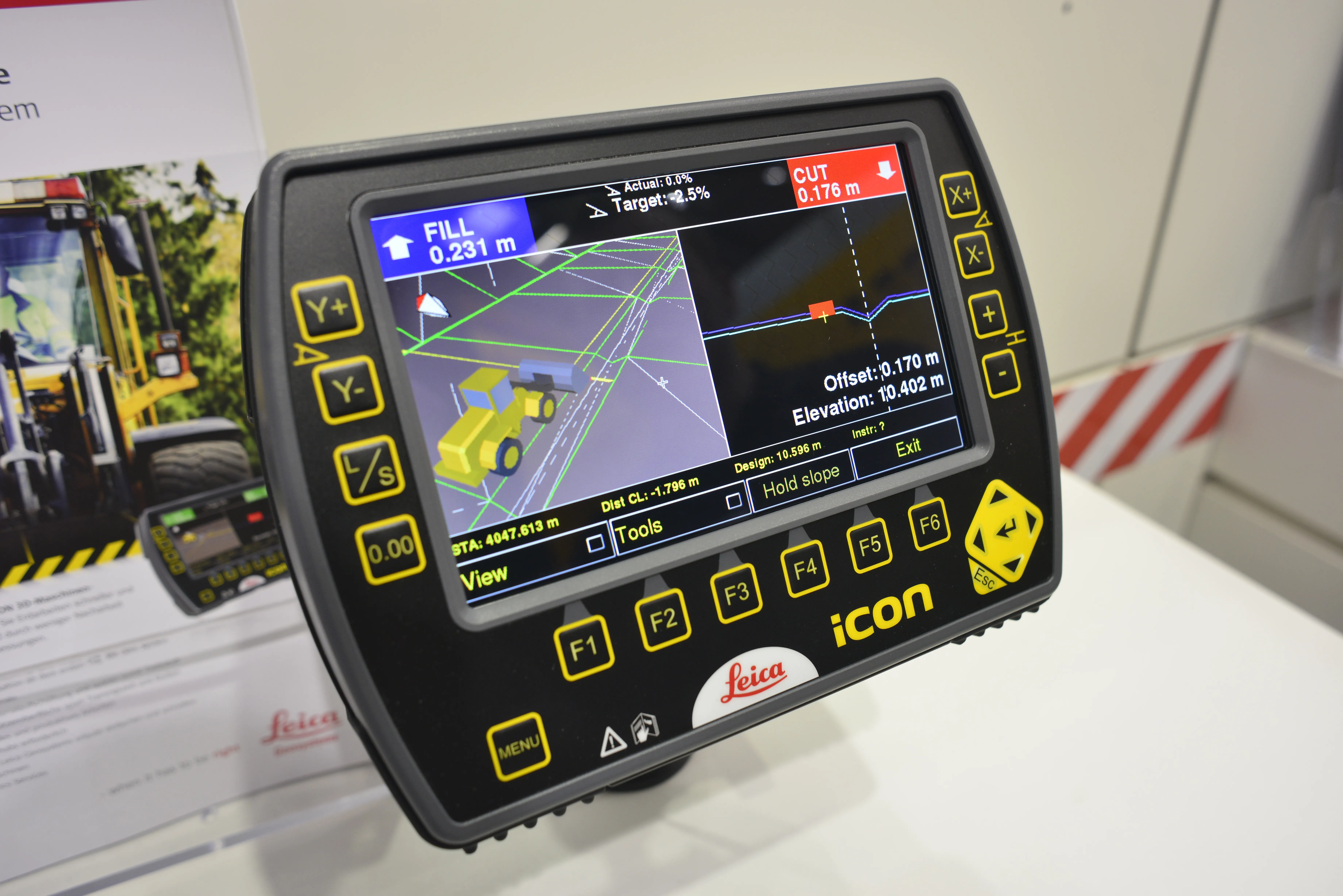
    Leica Geosystems has unveiled its new powerful Leica iCON 3D machine control system for wheeled loaders. The Swiss firm says the system allows users to complete their earthworks jobs faster and correctly the first time. It is also said to precisely control material cut and fill, saving a lot of time and money by reducing rework and over-excavation, while also making grading operations with wheeled loaders more efficient. Grade checking, says Leica, can be eliminated, further enhancing productivity, efficien
  • Leica Geosystems launches iCON for wheeled loaders
    April 19, 2013
    Leica Geosystems has unveiled its new powerful Leica iCON 3D machine control system for wheeled loaders. The Swiss firm says the system allows users to complete their earthworks jobs faster and correctly the first time. It is also said to precisely control material cut and fill, saving a lot of time and money by reducing rework and over-excavation, while also making grading operations with wheeled loaders more efficient. Grade checking, says Leica, can be eliminated, further enhancing productivity, efficien
  • Leica Captivate Experience works with fifth generation of ATRplus
    August 17, 2015
    Leica Geosystems says its Leica Captivate Experience creates highly realistic 3D models that enables professionals to capture and manage complex data easily and accurately. With little more than a swipe, users can now navigate through customisable apps containing information for multiple projects. Advanced lining and coding provide an interactive 3D model where users can zoom, pan and orbit the rendering for optimal viewing and manipulation. “Leica Geosystems has taken a giant leap forward with Captiv