Sophisticated machine control solution from Topcon

Topcon Positioning says that its new MC-Max machine control solution is a scalable solution for use with mixed-fleets of heavy equipment.
June 1, 2022 Read time: 2 mins
The new package from Topcon allows users to integrate machines in mixed fleets

The system is based on the firm’s MC-X machine control platform, and backed by Sitelink3D, the cloud-based data management ecosystem. MC-Max is designed to adapt to the needs of the customer for machine control and data integration as fleets and workflows expand.   

MC-Max is said to boost processing power, speed, accuracy, versatility and reliability. It can be installed on a full range of dozers and excavators, using modular components. Modern, redesigned user and product interfaces were developed based on real-world applications and customer feedback and is said to allow operators to learn the system easily.

“With MC-Max, we’ve created a solution that is flexible and can continue to grow as a contractor’s needs and capabilities expand,” said Jamie Williamson, executive vice president, Topcon Positioning Group. “This new solution provides improved scalability and precision in the field and offers business owners real-time data integration, connectivity and resource management capabilities across their entire workflow.”

The MC-Max solution offers flexible mounting solutions, as well as optional automatic blade and bucket control for a variety of machines. The system also provides a full battery of positioning technologies ranging from slope control to laser, multi-constellation GNSS, robotic total station and Millimeter GPS systems.

MC-Max provides project managers a real-time view of machine positions, activities and onsite progress, and is compatible with a wide range of site communications systems.

The Topcon MC-X platform makes machine control easy to use and affordable for all contractors. The platform ties together mixed fleets by interacting with multiple versions of 3D-MC, providing connectivity to Sitelink3D and taking advantage of the multi-constellation capabilities of GNSS antennas.

For more information on companies in this article

Related Content

  • Positioning tools continue to improve
    July 16, 2012
    Topcon says that its new IP-S2 package combines GNNS positioning capabilities with inertial sensors, while the firm also has a solution for customers wanting to mix and match receiver components. The IP-S2 is a vehicle-mounted, mobile 3D tool that offers precision mapping and surveying capabilities. The package collects data using 3D laser scanners, LIDAR, and/or cameras, and this is then integrated, time-stamped and geo-referenced. The customer can use this assembled data to combine LIDAR point cloud and d
  • Conquer technology interoperability gaps with DCW’s productivity-focused and digitally-connected platform
    July 14, 2022
    Digital Construction Works is all about the “transformative power of digital.” It is designed to be a leading integrator of construction technology services… a power that will help to deliver your projects smoothly, on time, and on budget. DCW’s mission is to “create innovative solutions to complex challenges by understanding the pressure firms are under to increase productivity, reduce risk… and deliver reliable, efficient project results.” Are you connected?
  • Automatic control
    February 7, 2012
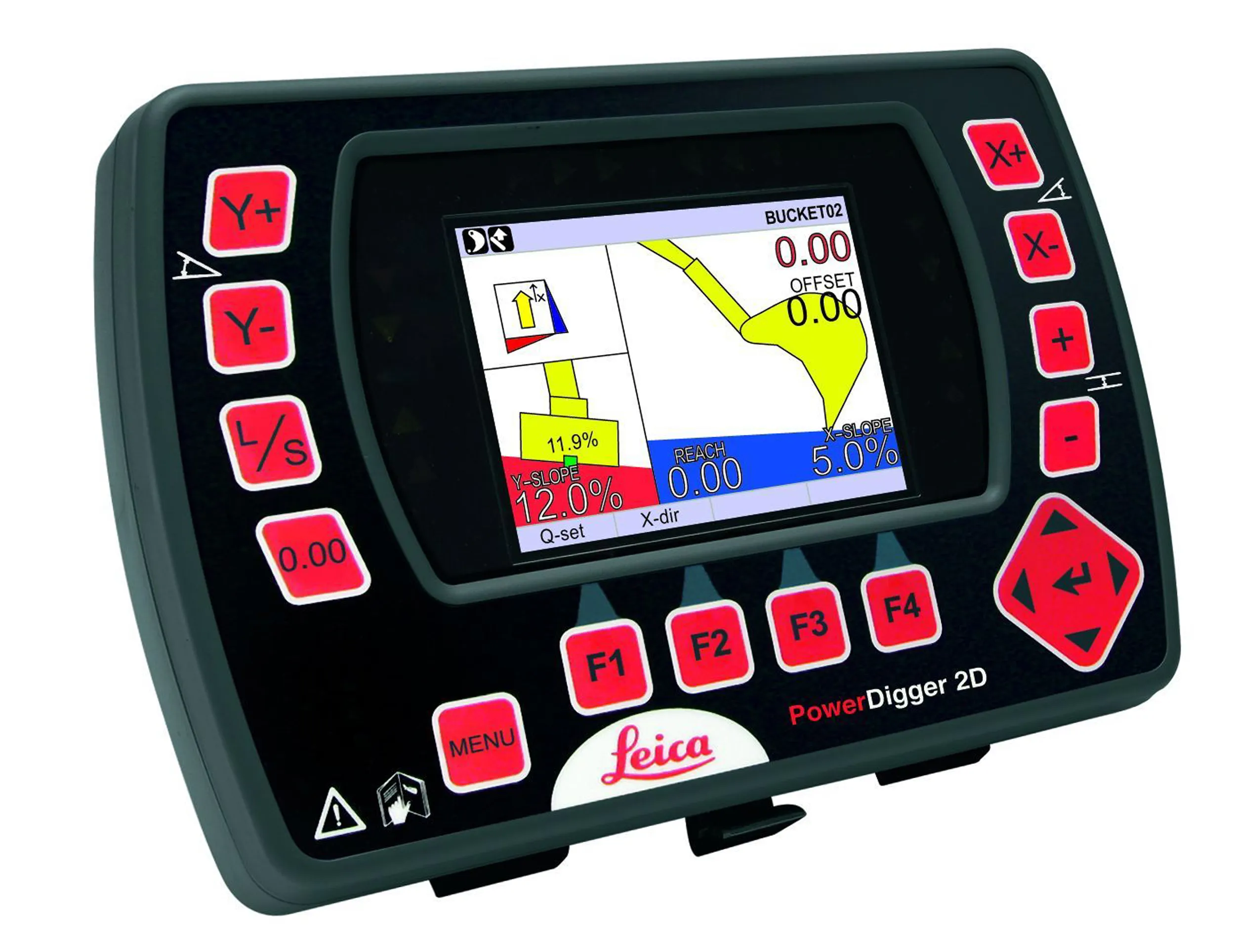
    Leica Geosystems says that sophisticated PowerDigger 2D guidance system for excavators offers automatic slope control. The system expands on its PowerSnap technology and is said to make excavating easier and more productive. The system uses a standard panel whether fitted to a dozer, excavator or grader, which is also said to save money on training and equipment, as well as reducing down time. Leica PowerDigger 2D system allows multiple elevations and slopes to be constructed at any orientation, witho
  • Electric slipforming with machine control
    December 13, 2024
    Electric slipforming has been carried out with machine control technology from Leica Geosystems.