Sophisticated georeferencing technology from Applanix

Applanix is now offering the Trimble AP+ Air OEM solution for Direct Georeferencing of airborne sensor data.
November 24, 2020 Read time: 2 mins
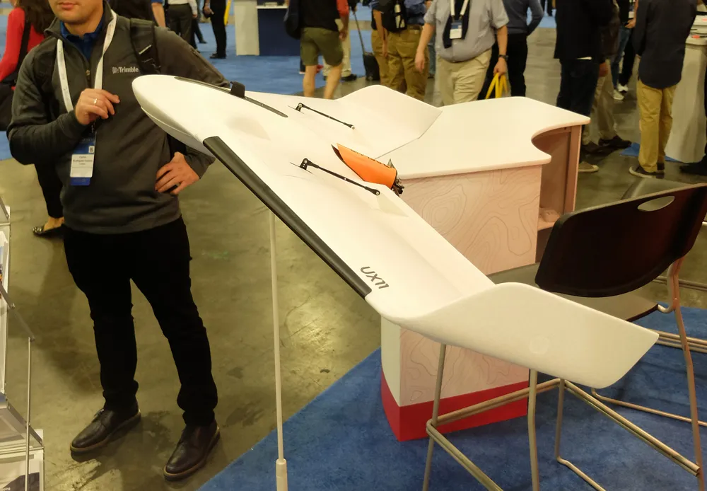
Applanix is now offering new georeferencing technology that can be used for data recovered from UAVs

The tool allows users to generate maps and 3D models without the use of ground control points. The Trimble AP+ Air can be used for manned platforms as well as on unmanned aerial vehicles (UAVs). It can be used with almost all airborne remote sensors, including photogrammetric cameras, LiDAR, hyper and multi-spectral cameras, and synthetic aperture radar.

Using advanced compact, low-power hardware, the Trimble AP+ Air features dual embedded survey-grade GNSS chipsets, an onboard inertial measurement unit (IMU), an external IMU, and the all-new Applanix IN-Fusion+ GNSS-aided inertial firmware. It is configurable to support the Direct Georeferencing accuracy demands of low-flying UAVs to high-altitude manned platforms.

The firm is part of the Trimble Group and has taken advanced features of Applanix Direct Georeferencing and Trimble GNSS technology and packaged these into a compact and versatile solution, according to Applanix. The company adds that systems integrators can embed a hardware solution that can be configured to meet different Direct Georeferencing needs of a specific sensor type.

The Trimble AP+ Air is supported by the Applanix POSPac MMS post-processing software, which features CenterPoint RTX post-processing for centimetre-level positioning without base stations.

For LiDAR integrators, the Trimble AP+ Air is compatible with the POSPac MMS LiDAR QC Tools for computing boresight as well as adjusting the relative accuracy of the POSPac trajectory being used to generate the point cloud. For integration with cameras, the solution is supported by the POSPac MMS Photogrammetry Tools for computing boresight and performing camera IO quality control.

For more information on companies in this article

Related Content

  • Bentley’s point cloud innovation for information modelling in road design
    August 22, 2013
    Latest software packages from Bentley Systems will help optimise project design and construction efficiency – Mike Woof reports Software systems have come a long way in helping optimise construction projects from design through construction to delivery. And the latest software from Bentley Systems offers additional capabilities for road design applications. Bentley Systems is offering the V8i (SELECTseries 3) versions of its InRoads, GEOPAK, and MXROAD products. All of the products now share the
  • Semi-Autonomous Operations Remove Site Risk for Brazilian Contractor’s Crew, Without Missing a Beat on the Jobsite
    February 28, 2022
    Remote operation keeps machine operators out of harm’s way, enabling advanced action in any environment
  • Trimble Dimensions 2012 exhibits revolutionising construction technology
    December 14, 2012
    More than 3,500 visitors from 80 countries attending Trimble Dimensions 2012 gained a vital insight into how information technology is revolutionising working practises in, among other fields, heavy civil construction, building construction, surveying, mapping and GIS, and transport and logistics Guy Woodford was among those attending the three-day event at The Mirage hotel in Las Vegas, USA Themed Transform the Way the World Works, Trimble Dimensions 2012 had new hardware and software launches aplenty, as
  • Optimising operations with construction software gains
    May 20, 2015
    Innovations in construction software are helping boost project efficiency and optimising project operations – Clive Davidson writes Over the past decade, while construction engineers have been putting up buildings or infrastructure, software engineers have been developing a parallel universe where virtual buildings or infrastructure can be created in ever increasing detail. What started with 2D architectural drawings in computer-aided design (CAD) systems, has become a multi-dimensional world, with 3D ge