Sophisticated georeferencing technology from Applanix

Applanix is now offering the Trimble AP+ Air OEM solution for Direct Georeferencing of airborne sensor data.
November 24, 2020 Read time: 2 mins
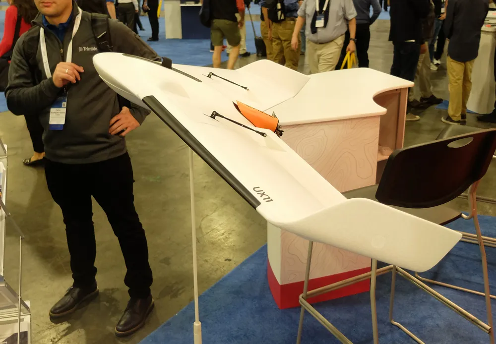
Applanix is now offering new georeferencing technology that can be used for data recovered from UAVs

The tool allows users to generate maps and 3D models without the use of ground control points. The Trimble AP+ Air can be used for manned platforms as well as on unmanned aerial vehicles (UAVs). It can be used with almost all airborne remote sensors, including photogrammetric cameras, LiDAR, hyper and multi-spectral cameras, and synthetic aperture radar.

Using advanced compact, low-power hardware, the Trimble AP+ Air features dual embedded survey-grade GNSS chipsets, an onboard inertial measurement unit (IMU), an external IMU, and the all-new Applanix IN-Fusion+ GNSS-aided inertial firmware. It is configurable to support the Direct Georeferencing accuracy demands of low-flying UAVs to high-altitude manned platforms.

The firm is part of the Trimble Group and has taken advanced features of Applanix Direct Georeferencing and Trimble GNSS technology and packaged these into a compact and versatile solution, according to Applanix. The company adds that systems integrators can embed a hardware solution that can be configured to meet different Direct Georeferencing needs of a specific sensor type.

The Trimble AP+ Air is supported by the Applanix POSPac MMS post-processing software, which features CenterPoint RTX post-processing for centimetre-level positioning without base stations.

For LiDAR integrators, the Trimble AP+ Air is compatible with the POSPac MMS LiDAR QC Tools for computing boresight as well as adjusting the relative accuracy of the POSPac trajectory being used to generate the point cloud. For integration with cameras, the solution is supported by the POSPac MMS Photogrammetry Tools for computing boresight and performing camera IO quality control.

For more information on companies in this article

Related Content

  • Machine control innovations
    February 15, 2012
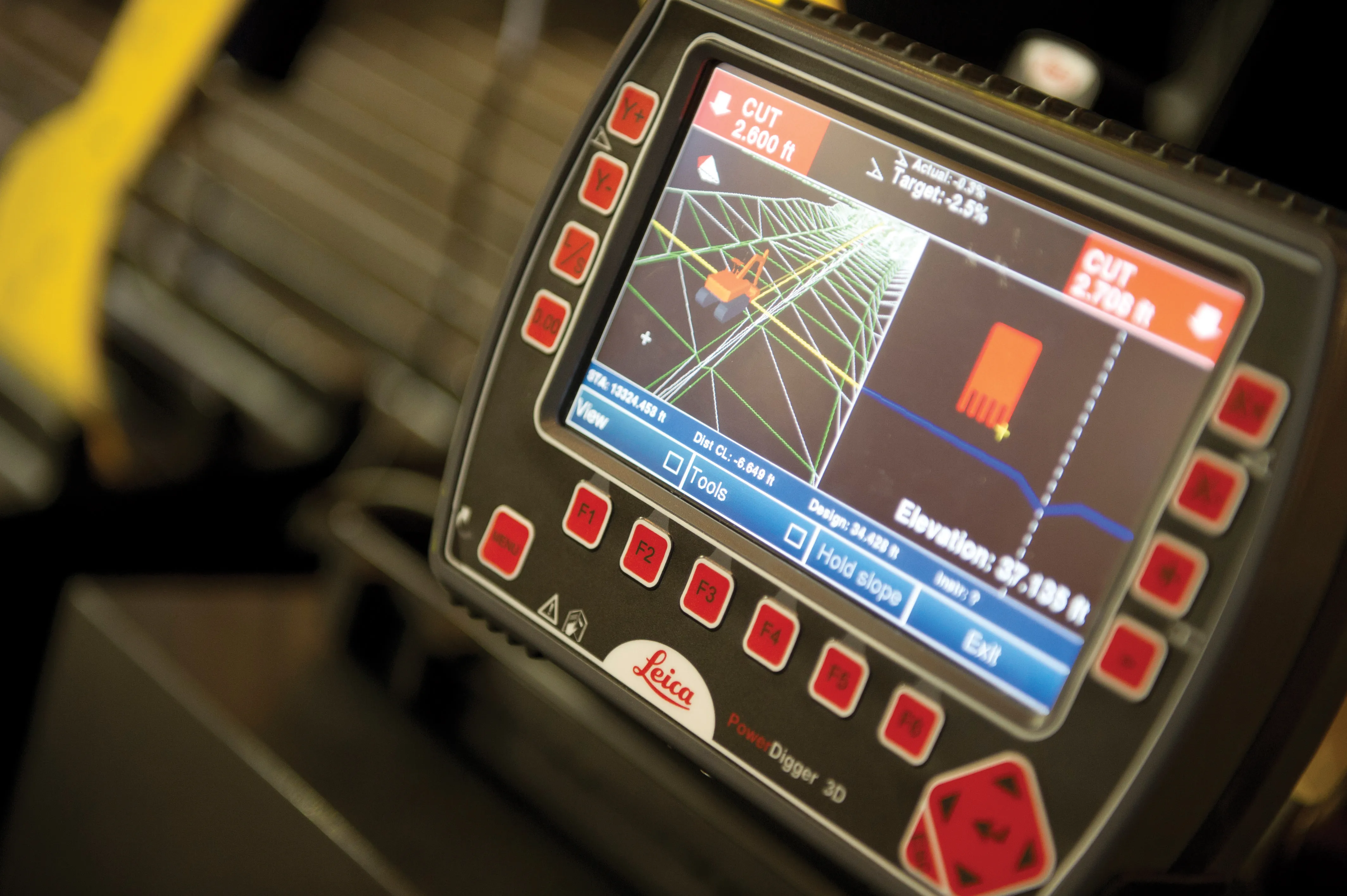
    THE RECENT CONEXPO-CON/AGG exhibition has seen the launch of a wealth of new machine control technologies - Mike Woof reports A fast pace of technological development in the machine control sector is seeing new innovations come to market at regular intervals. The developments remain focussed on the three main technology suppliers to this market, Leica Geosystems, Topcon and Trimble, offereng a combination of systems using machine control based on GPS, total station, sonic units and industrial inertial gu
  • AibotX6 Version 2 uses High Precision GNSS
    January 19, 2016
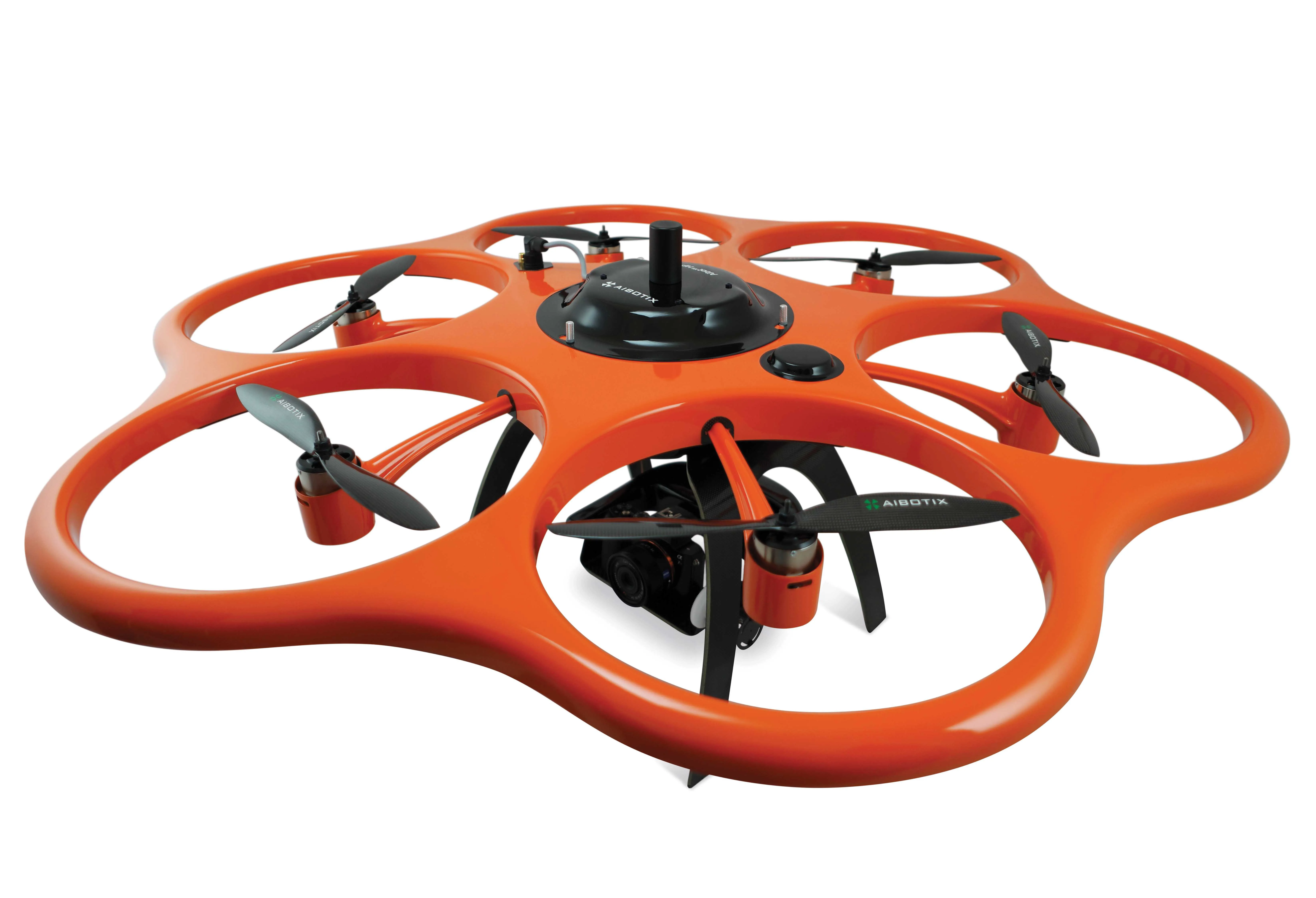
    Kassel-based company Aibotix has presented a solution for high-precision surveying with Version 2 of its tried and tested surveying hexacopter AibotX6: High Precision GNSS. Aibotix, based in Kassel, in the middle of Germany, develops and manufactures multi-copters for applications in the industrial sector. The company's name is a combination of Ai for artificial intelligence and botix for robotics.
  • Software tools aid construction, reduce costs
    February 28, 2012
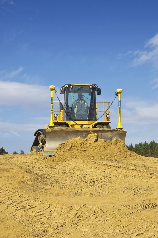
    Integrated construction software offers an effective planning solution - *Mark Nichols writes. In a world where resources are limited, 20 year designing and building in a sustainable way is more critical than ever. By employing today's software tools it is possible to reduce the total cost of construction of a new highway, while reducing operating costs and environmental impacts. The path to achieving the greatest gains is to take a holistic approach to the plan, design, construct and operate process from t
  • Picture perfect from Leica
    July 18, 2012
    Advanced imaging capability has been added to the Leica ScanStation C10 laser scanner. The new option consists of a direct digital camera mount on the ScanStation C10 scanner and tight, automated integration of external camera images into the scanner’s on-board controller and data storage system. Cyclone v7.4 supports the new option.