Sophisticated georeferencing technology from Applanix

Applanix is now offering the Trimble AP+ Air OEM solution for Direct Georeferencing of airborne sensor data.
November 24, 2020 Read time: 2 mins
Applanix is now offering new georeferencing technology that can be used for data recovered from UAVs

The tool allows users to generate maps and 3D models without the use of ground control points. The Trimble AP+ Air can be used for manned platforms as well as on unmanned aerial vehicles (UAVs). It can be used with almost all airborne remote sensors, including photogrammetric cameras, LiDAR, hyper and multi-spectral cameras, and synthetic aperture radar.

Using advanced compact, low-power hardware, the Trimble AP+ Air features dual embedded survey-grade GNSS chipsets, an onboard inertial measurement unit (IMU), an external IMU, and the all-new Applanix IN-Fusion+ GNSS-aided inertial firmware. It is configurable to support the Direct Georeferencing accuracy demands of low-flying UAVs to high-altitude manned platforms.

The firm is part of the Trimble Group and has taken advanced features of Applanix Direct Georeferencing and Trimble GNSS technology and packaged these into a compact and versatile solution, according to Applanix. The company adds that systems integrators can embed a hardware solution that can be configured to meet different Direct Georeferencing needs of a specific sensor type.

The Trimble AP+ Air is supported by the Applanix POSPac MMS post-processing software, which features CenterPoint RTX post-processing for centimetre-level positioning without base stations.

For LiDAR integrators, the Trimble AP+ Air is compatible with the POSPac MMS LiDAR QC Tools for computing boresight as well as adjusting the relative accuracy of the POSPac trajectory being used to generate the point cloud. For integration with cameras, the solution is supported by the POSPac MMS Photogrammetry Tools for computing boresight and performing camera IO quality control.

For more information on companies in this article

Related Content

  • Innovation in road design and management software
    February 17, 2012
    The emphasis on data processing and re-use, continues to grow in the development of design and management software. The interoperability of software, the need to handle and process larger amounts of data, and re-use and retention of data sets from one task to another have been a growing emphasis in the past few years. It allows infrastructure companies to get better value from expensively collected information and to focus more on the whole life cycle of projects.
  • IBI’s Routemapper charts new territory with Highways England
    September 14, 2016
    Mapping the asset High-speed data collection just got faster for England’s newly created strategic roads operator Highways England’s establishment as a publicly held company in 2015 created a need for a highly accurate asset inventory. This was potentially very costly and had serious safety implications. As well as its relationships with numerous managing agents and contractors, assets include 35,300km of highway, 12,100km of earthworks, 23,200km of safety fences, 150,000 technology assets and sig
  • Brisbane’s Airport: Innovative Management of One of the World’s Busiest Runways
    June 26, 2014
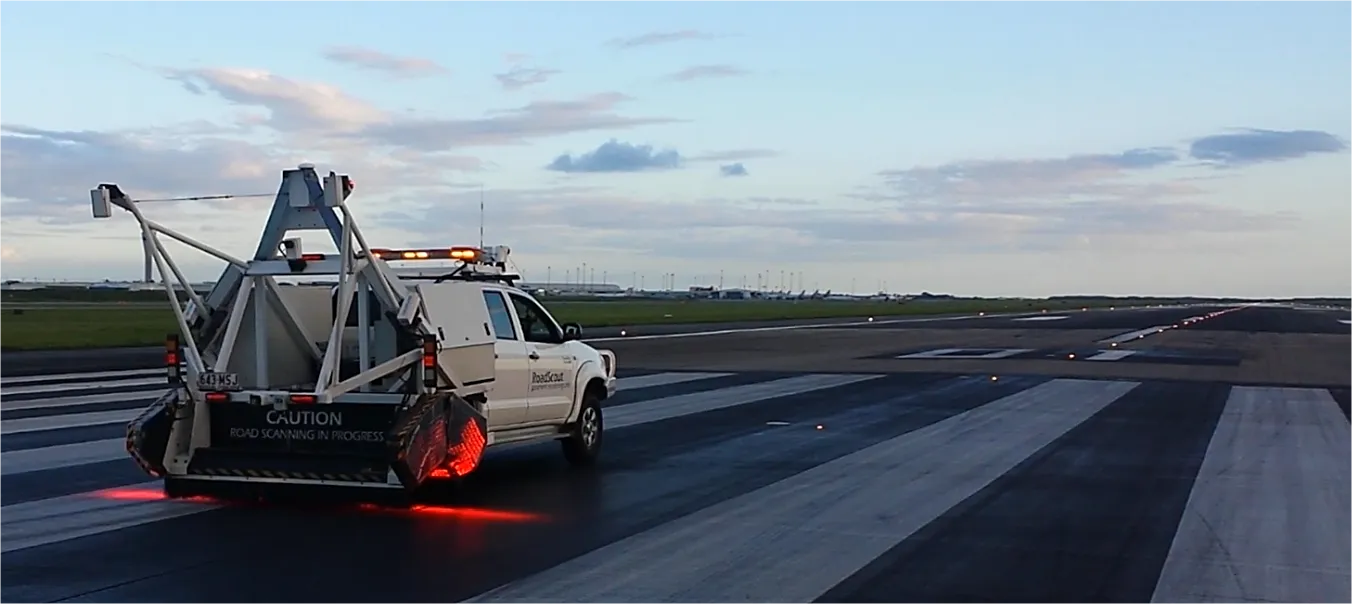
    When it comes to runways, there are few busier then Brisbane’s main runway. Servicing both domestic and international travel, with over 200,000 movements per year, operating without a curfew Brisbane’s main runway is the busiest in Australia. For maintenance, crews only have a limited period of time to determine the pavement condition, normally during the night, making the detection of pavement faults difficult. To resolve this issue, a new high speed pavement scanner was used to rapidly survey the pavem
  • Efficient construction using advanced technology
    August 19, 2020
    Advances in asphalt paving control systems are helping contractors deliver higher efficiency