Sophisticated geopositioning tool from Topcon

Topcon says that its new T-18 handheld controller offers accuracy for geopositioning, construction, mapping and vertical construction applications. The controller includes a sunlight-readable display with a 1GHz processor, 1GB of internal storage, and up to 10 hours of battery life. “For MAGNET Field data collection, the T-18 controller offers a durable ergonomic solution with faster processing, a larger screen, better connectivity and longer battery life than previously available comparable systems,” said
October 9, 2018 Read time: 2 mins
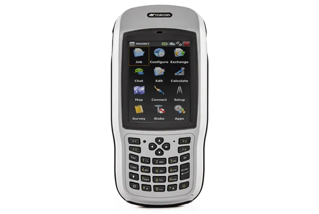
Topcon’s new T-18 unit offers advanced geopositioning capabilities
342 Topcon says that its new T-18 handheld controller offers accuracy for geopositioning, construction, mapping and vertical construction applications.  The controller includes a sunlight-readable display with a 1GHz processor, 1GB of internal storage, and up to 10 hours of battery life. “For MAGNET Field data collection, the T-18 controller offers a durable ergonomic solution with faster processing, a larger screen, better connectivity and longer battery life than previously available comparable systems,” said Ray Kerwin, director of global surveying products.


The T-18 features a 3.5G cellular modem for connectivity with Topcon MAGNET solutions for sending and receiving data to the cloud company account.  The firm says that the cellular option makes it easier to communicate with field crews when projects need to be changed or if important data is required back in the office. The modem can be used for RTK correction services. Additional key features include standard Bluetooth and Wi-Fi connectivity, as well as an IP65 rating for dust and water protection in demanding job site conditions.

For more information on companies in this article

Related Content

  • Topcon develops new dozer machine control package
    March 15, 2016
    Topcon Positioning says that its latest indicate dozer machine control system, the i-53, comes with the latest Topcon GNSS receiver, graphical user interface, and machine control software. The firm claims that this package offers a versatile indicate dozer system for an affordable price. The system expands the Topcon dozer indicate product line by offering single GNSS plus single or dual axis slope sensor configurations for complete control of elevation and slope. The i-53 features the Topcon GX-55
  • New non-destructive testing technologies for roads and bridges
    July 11, 2018
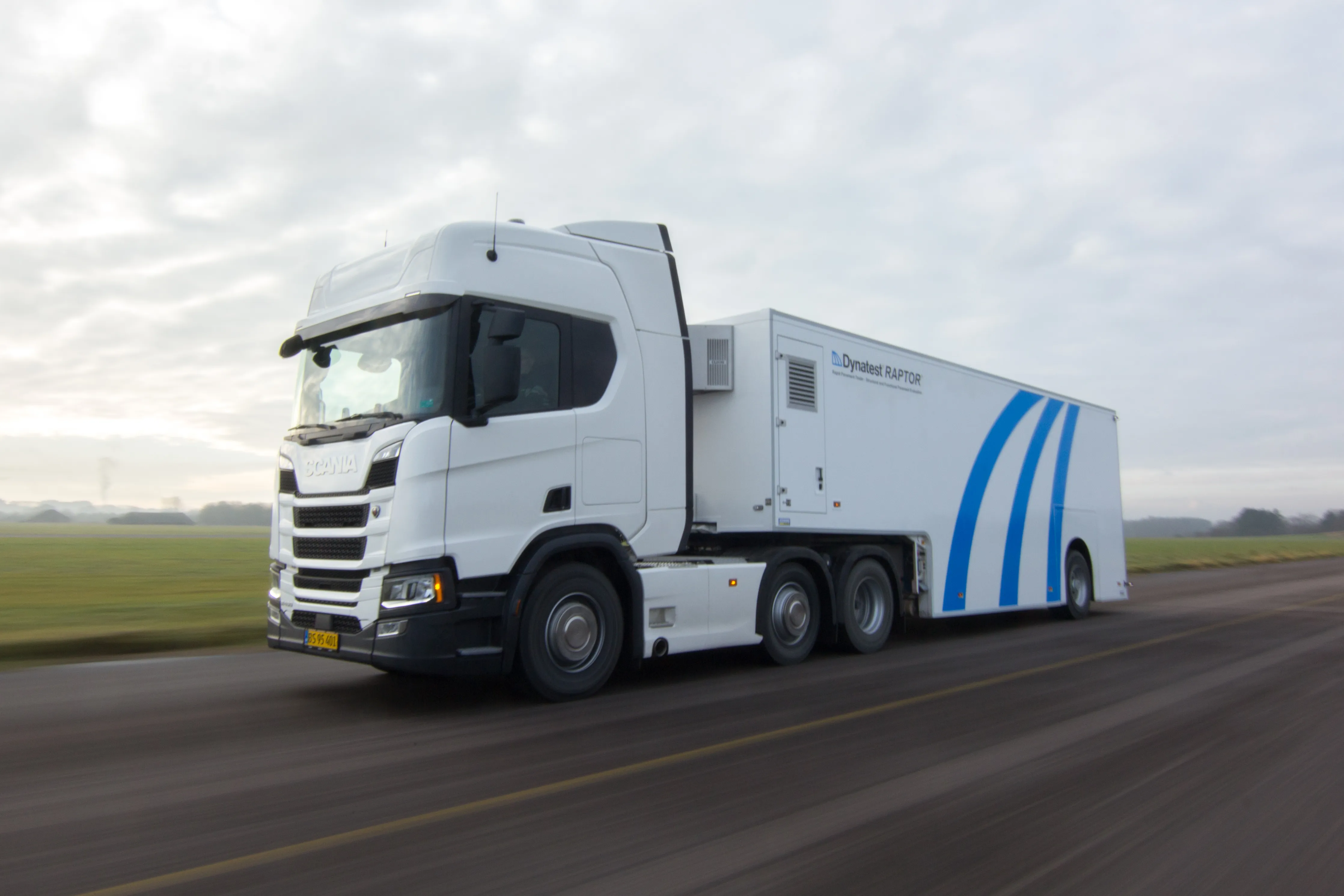
    Two new technologies for non-destructive testing offer key benefits, one suiting road surfaces, the other suiting concrete structures - Kristina Smith reports Dynatest has developed a new way to measure and record the state of pavements, using a machine that travels at the same speed as traffic. The Rapid Pavement Tester (Raptor) has been seven years in the making and offers road owners the chance to have comprehensive surveys without the need to disrupt traffic. “People have been wanting to do this for
  • Innovative GIS software offerings
    July 18, 2012
    The latest construction software developments can speed the construction process overall, Adrian Greeman reports Construction software is by its very nature a very fast moving technology, with new systems coming to the market almost continuously. There are some key developments however, such as major new product launches and market trends. One of the most important developments in the road design sector is the launch of the Bentley Systems V8i versions of its software, including its road design applications
  • Topcon's laser launch
    February 13, 2012
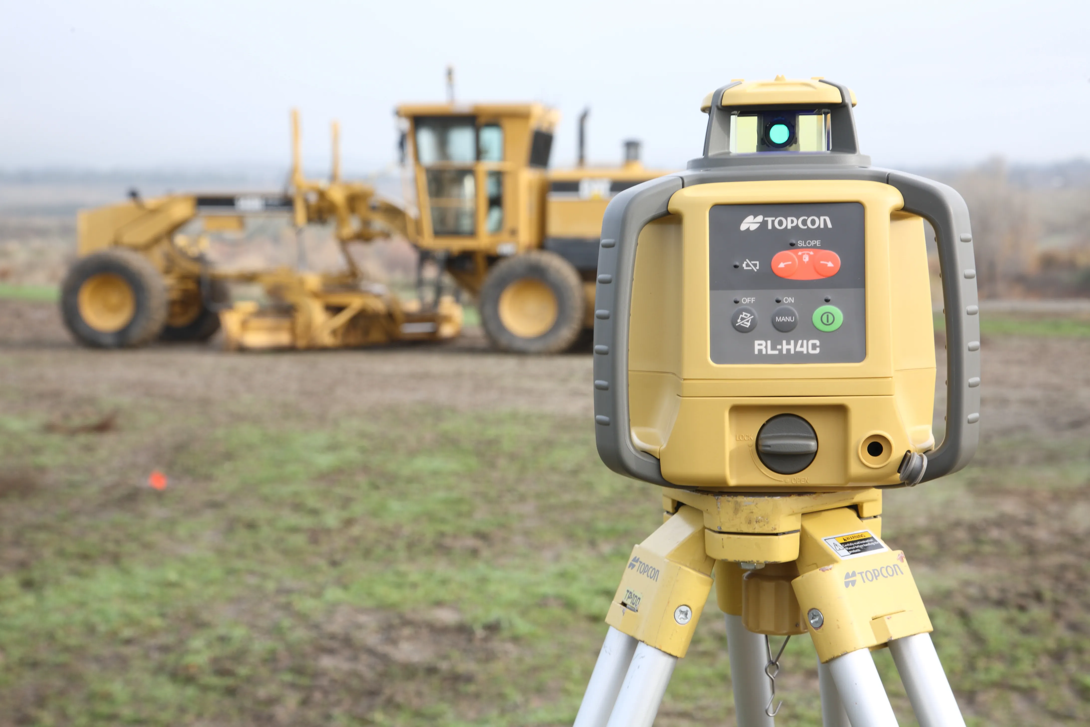
    Topcon Europe Positioning has launched the RL-H4C, its new self-levelling rotating laser for general construction.