Sophisticated base station receiver

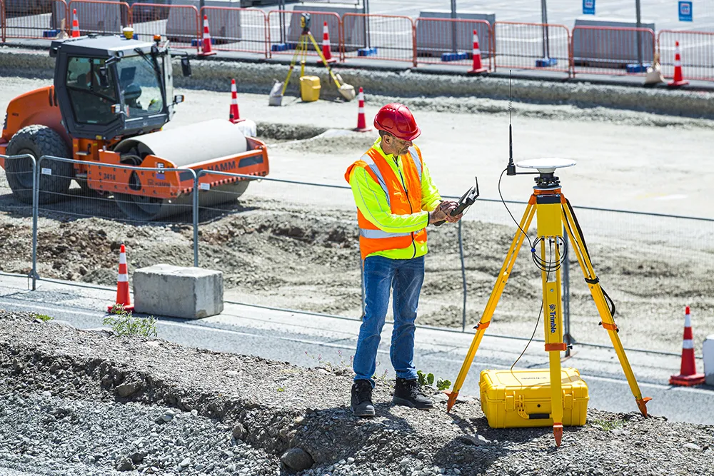
Trimble has introduced the R750 GNSS Modular Receiver, a connected base station for use in civil construction and geospatial applications. The R750 is said to provide improved base station performance, giving contractors and surveyors more reliable and precise positioning in the field.
March 1, 2022 Read time: 2 mins
Trimble is now offering a sophisticated new base station receiver system

The R750 can be used to broadcast Real-Time Kinematic (RTK) corrections for a wide range of applications, including seismic surveying, monitoring and civil construction. Access to available satellite signals is said to provide improved performance and reliability when used with a Trimble ProPoint Global Navigation Satellite System (GNSS) rover. ProPoint can boost performance in challenging GNSS conditions, with groundbreaking signal management.

Featuring a built-in LTE modem, the R750 offers corrections via the internet, making it easier to extend the range of a base station with cellular coverage. The built-in modem also provides remote access and management, delivery of email alerts and notifications, and data transfer capabilities between the field and the office.

The R750 is said to deliver better satellite tracking and connectivity. It offers the ability to manage a base station remotely and receive status notifications about the unit while in the office. This reduces downtime and the need to travel to the site.

For monitoring applications, the R750 provides precision capabilities for construction and geospatial customers deploying automated systems. Combined with Trimble 4D Control real-time monitoring software, users can capture high-frequency 3D positions for alarming and reporting on movement. The R750 offers multiple communication methods that provide flexibility for customers on how they deploy their monitoring system.

For more information on companies in this article

Related Content

  • Laser scanning versatility
    February 13, 2012
    The upgraded ScanStation C10 laser scanning system from Leica Geosystems now offers high performance as well as increased versatility and productivity.
  • Scheduling efficiently with B2W
    July 20, 2020
    Sophisticated software from B2W is said to help ensure efficient logistics operations for construction sites by providing comprehensive trucking management capabilities.
  • LiDAR surveying is making inroads into asset management
    December 18, 2017
    In the coming age of the autonomous vehicle, fast and accurate LiDAR surveying will be increasingly important, explains Valdis Vanags. The game-changing introduction of autonomous vehicles relies not only on intelligent traffic systems but well maintained roads to help computer-guided systems navigate using road markings. Laser scanning technology, too, is a game changer when it comes to planning and executing many civil engineering projects, including transport network upgrades and smart city initiatives.
  • Digital transformation is delivering digital adoption
    August 15, 2023
    Digital transformation is key for transportation agencies and their partners to do their jobs better and faster. One way to do this is through digital delivery using digital models, data, and supporting field tools for roadway design, structures design, and construction, say the tech experts at Bentley Systems.