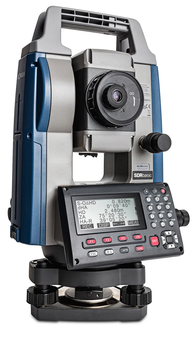
Sokkia has widened its iM line of manual total stations with the introduction of the iM-50.
The firm says that the tool can be used for jobs such as site layout or as-built survey and claims that the unit delivers high-end performance and functionality. The iM-50 EDM features a prism range of up to 4,000m and up to 500m in reflectorless mode with a 1.5 mm/
2ppm accuracy. The company claims that the beam can measure walls, corners, manholes on the road surface, even chain-link fences and tree branches
The firm says that the tool can be used for jobs such as site layout or as-built survey and claims that the unit delivers high-end performance and functionality. The iM-50 EDM features a prism range of up to 4,000m and up to 500m in reflectorless mode with a 1.5 mm/
2ppm accuracy. The company claims that the beam can measure walls, corners, manholes on the road surface, even chain-link fences and tree branches. The instrument offers integrated Bluetooth technology for connectivity with the controller.
Additional features include 50,000 points of internal memory, or up to 32GB USB flash drive external support, SDRbasic onboard software, and IP66 certification for operation in tough jobsite conditions.