Sokkia is offering new field service solutions for GNSS

Sokkia is introducing new field and office software solutions for its total stations, robotics and GNSS rover systems. These are the GeoPro Field and GeoPro Office packages. GeoPro Field provides a graphical user interface designed to collect field measurements for land surveying and construction activities. Sokkia GeoPro Office is the office-processing complement to the field software and can clean, process, and analyse field data into an easy-to-use form. The office software can also be expanded wi
January 31, 2017 Read time: 1 min
Sokkia is introducing new field and office software solutions for its total stations, robotics and GNSS rover systems. These are the GeoPro Field and GeoPro Office packages.

GeoPro Field provides a graphical user interface designed to collect field measurements for land surveying and construction activities. 1090 Sokkia GeoPro Office is the office-processing complement to the field software and can clean, process, and analyse field data into an easy-to-use form.

The office software can also be expanded with an optional 3D and road design module, for further versatility to design and site layout preparation. The firm says that the packages offer user-friendly graphical interfaces, with simple in-field functions and office workflows.

For more information on companies in this article

Related Content

  • Sophisticated drill analysis tool from Epiroc
    May 2, 2018
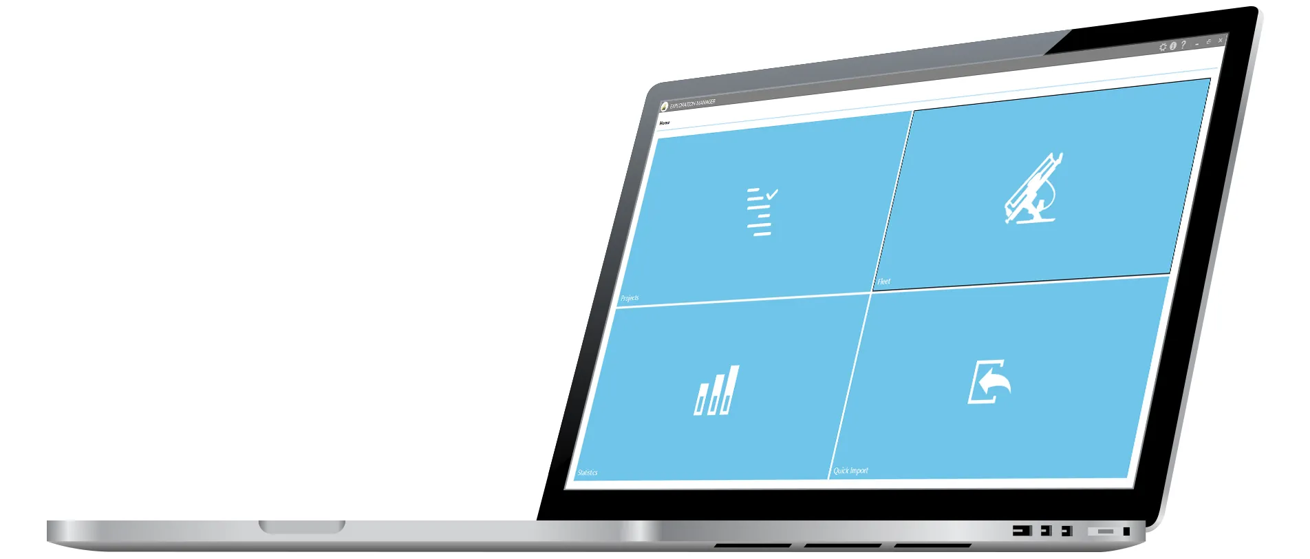
    A new measure while drilling (MWD) tool is being offered by Epiroc that makes it easier to analyse drill conditions. Called Exploration Manager, this system optimises MWD data retrieval. The firm now offers upgraded software on units such as its Diamec Smart underground core drilling rig. The package can collate data recorded automatically during the drill cycle and also simplifies the workflow by letting the operator log what activity state the drill rig is in, directly on the control panel.
  • Efficient stockpile and site monitoring
    October 23, 2017
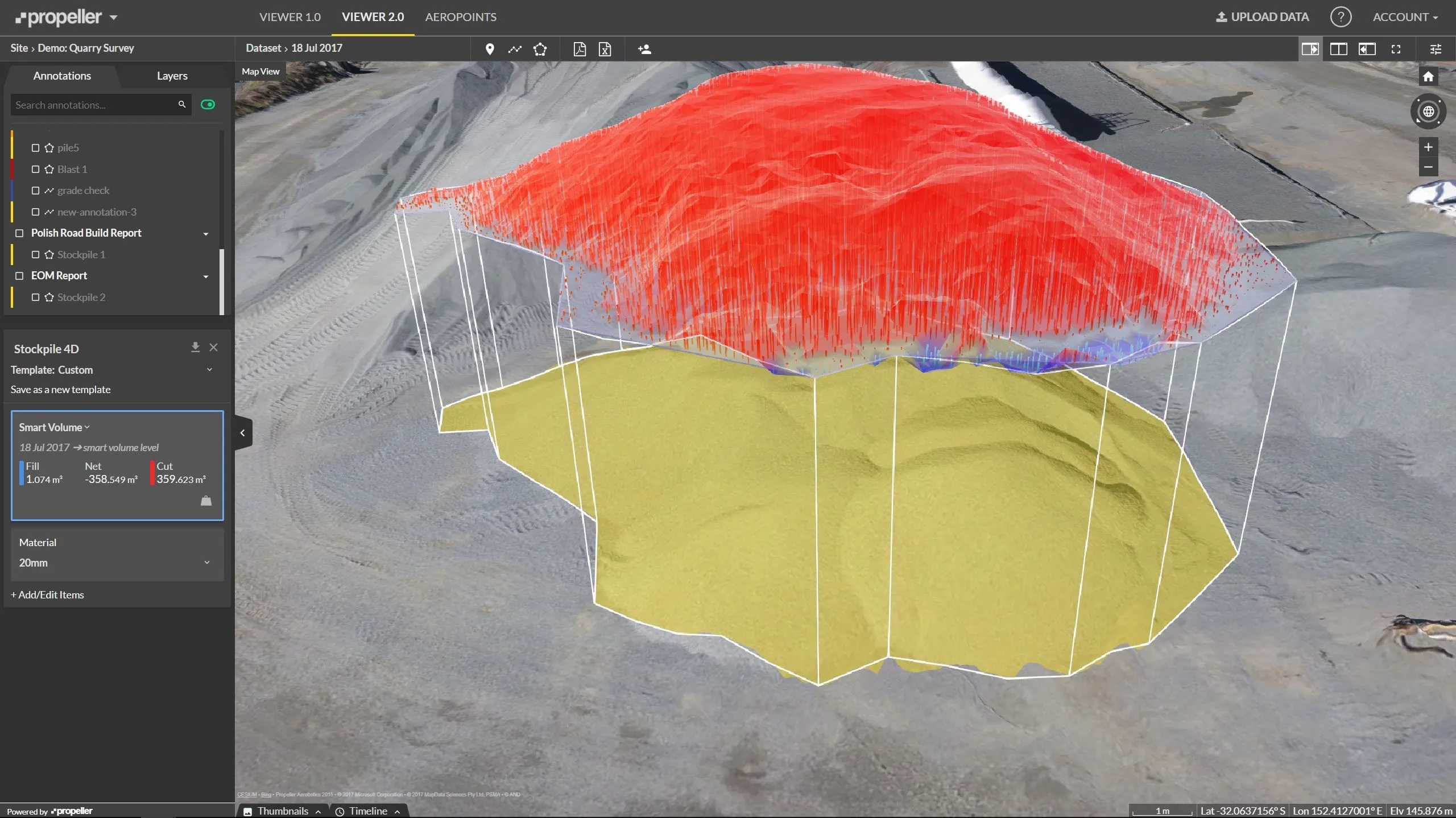
    Effective monitoring of aggregates stockpiles as well as face excavation can deliver greater quarrying efficiency. One of the latest innovations in quarrying is the use of drones, which provide major benefits for optimising operations. The use of affordable drone hardware and software solutions can help reduce stockpile inventory time by as much as 70%. Through the recent partnership between Trimble and Propeller, drone data can now be an everyday tool in quarries by proving a transformational impact
  • Leica Geosystems offers smart compaction tool
    January 12, 2017
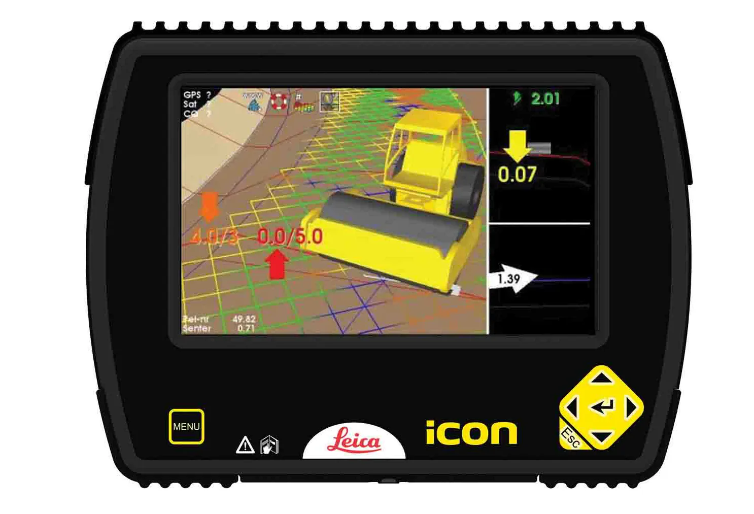
    Leica Geosystems is now offering a sophisticated machine control tool for use with compaction equipment. The firm’s advanced iCON roller package is said to offer contractors an effective solution that can deliver constant and effective compaction on any site. The new iCON roller has on-screen visualisation to show the user where completed passes have occurred and where more are needed for consistent results. Colour coding helps avoid costly reworking as pass count progress is constantly tracked. The unit
  • Topcon’s i33 versatile 3D indicate grade system
    April 2, 2014
    Topcon Positioning Group has unveiled a multi-platform 3D indicate grade system – i33. The new system features GPS technology and a graphical display and is said to provide a powerful indicate system at an economical price. The i33 is designed for quick installation and easy operation on many types of grading and earthmoving machinery. “It’s ideal for use on a dozer, scraper or virtually any type of machinery used for cut or fill operations,” said Kris Maas, manager of machine control product marketing f