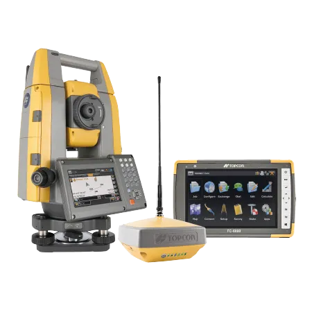
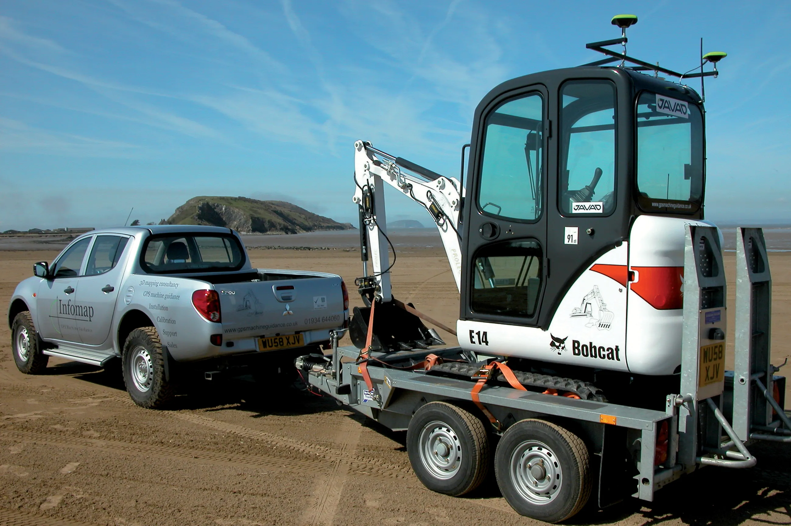
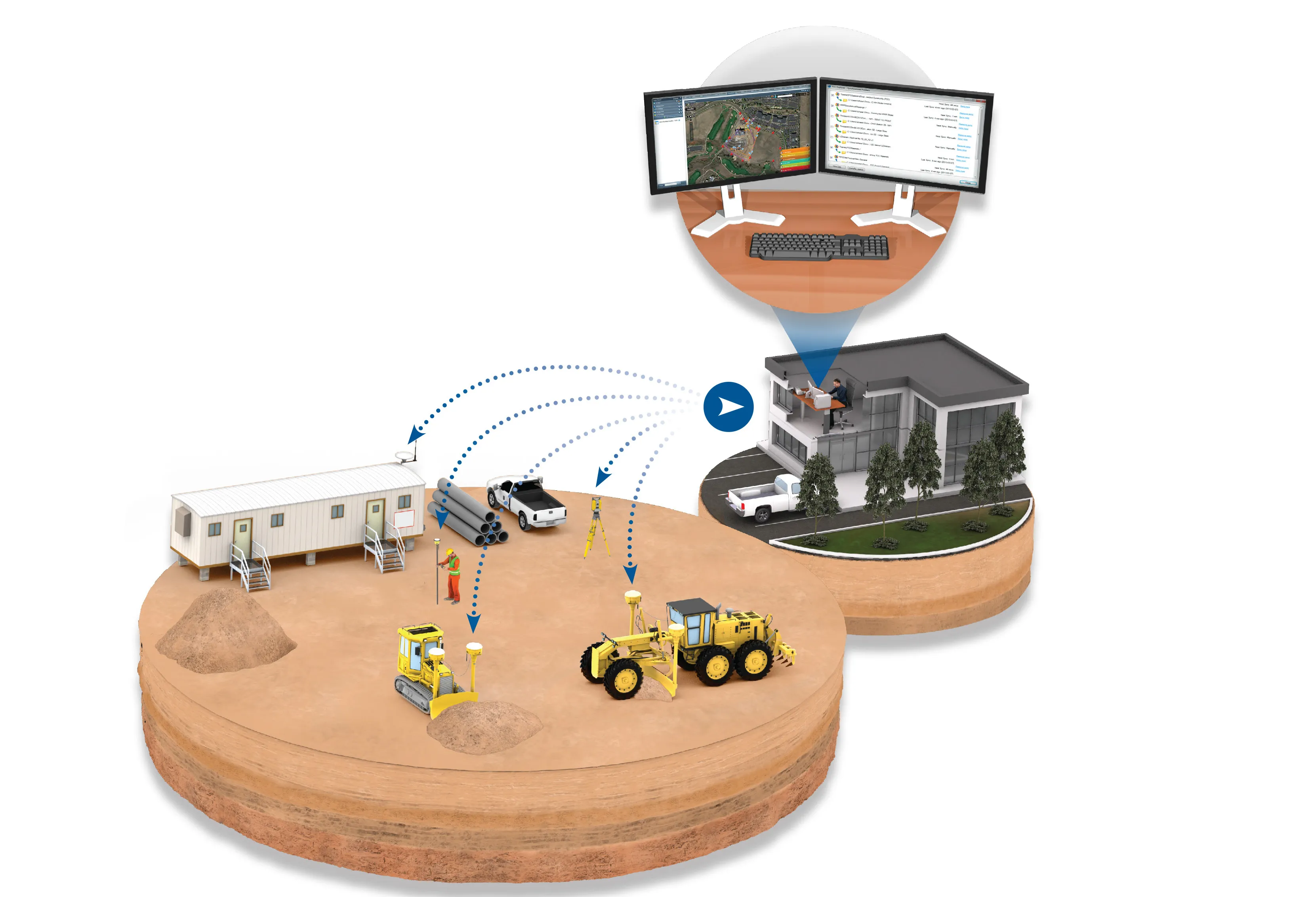
Sokkia is introducing new field and office software solutions for its total stations, robotics and GNSS rover systems. These are the GeoPro Field and GeoPro Office packages.
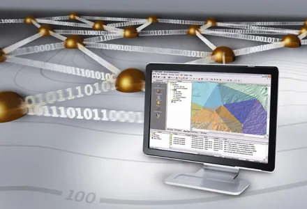
GeoPro Field provides a graphical user interface designed to collect field measurements for land surveying and construction activities. Sokkia GeoPro Office is the office-processing complement to the field software and can clean, process, and analyse field data into an easy-to-use form.
The office software can also be expanded wi

Sokkia is introducing new field and office software solutions for its total stations, robotics and GNSS rover systems. These are the GeoPro Field and GeoPro Office packages.
GeoPro Field provides a graphical user interface designed to collect field measurements for land surveying and construction activities.1090 Sokkia GeoPro Office is the office-processing complement to the field software and can clean, process, and analyse field data into an easy-to-use form.
The office software can also be expanded with an optional 3D and road design module, for further versatility to design and site layout preparation. The firm says that the packages offer user-friendly graphical interfaces, with simple in-field functions and office workflows.
GeoPro Field provides a graphical user interface designed to collect field measurements for land surveying and construction activities.
The office software can also be expanded with an optional 3D and road design module, for further versatility to design and site layout preparation. The firm says that the packages offer user-friendly graphical interfaces, with simple in-field functions and office workflows.