Sokkia is offering new field service solutions for GNSS

Sokkia is introducing new field and office software solutions for its total stations, robotics and GNSS rover systems. These are the GeoPro Field and GeoPro Office packages. GeoPro Field provides a graphical user interface designed to collect field measurements for land surveying and construction activities. Sokkia GeoPro Office is the office-processing complement to the field software and can clean, process, and analyse field data into an easy-to-use form. The office software can also be expanded wi
January 31, 2017 Read time: 1 min
Sokkia is introducing new field and office software solutions for its total stations, robotics and GNSS rover systems. These are the GeoPro Field and GeoPro Office packages.

GeoPro Field provides a graphical user interface designed to collect field measurements for land surveying and construction activities. 1090 Sokkia GeoPro Office is the office-processing complement to the field software and can clean, process, and analyse field data into an easy-to-use form.

The office software can also be expanded with an optional 3D and road design module, for further versatility to design and site layout preparation. The firm says that the packages offer user-friendly graphical interfaces, with simple in-field functions and office workflows.

For more information on companies in this article

Related Content

  • New tablet solution for Leica Geosystems
    December 12, 2018
    Leica Geosystems is now using the rugged ZX70 Android tablet from Getac as the hardware for its new Leica Zeno GG04 plus Tablet Solution. The new partnership allows Leica Geosystems to bring geospatial data collection capabilities to customers in all terrains and weather conditions such as utilities, public services, transportation and construction. Leica Geosystems has developed a range of new software and hardware including its Zeno Mobile data collection app and Zeno GG04 plus smart antenna to capture a
  • Automatic control
    February 7, 2012
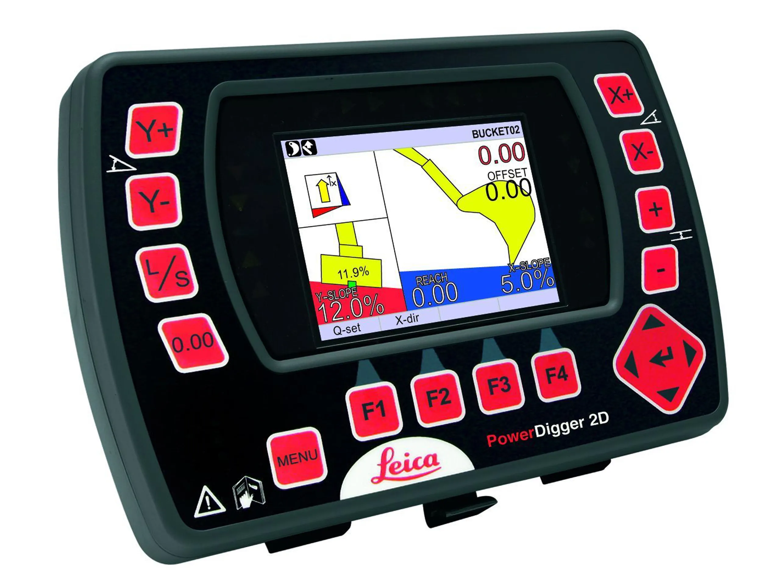
    Leica Geosystems says that sophisticated PowerDigger 2D guidance system for excavators offers automatic slope control. The system expands on its PowerSnap technology and is said to make excavating easier and more productive. The system uses a standard panel whether fitted to a dozer, excavator or grader, which is also said to save money on training and equipment, as well as reducing down time. Leica PowerDigger 2D system allows multiple elevations and slopes to be constructed at any orientation, witho
  • Machine control innovations
    February 15, 2012
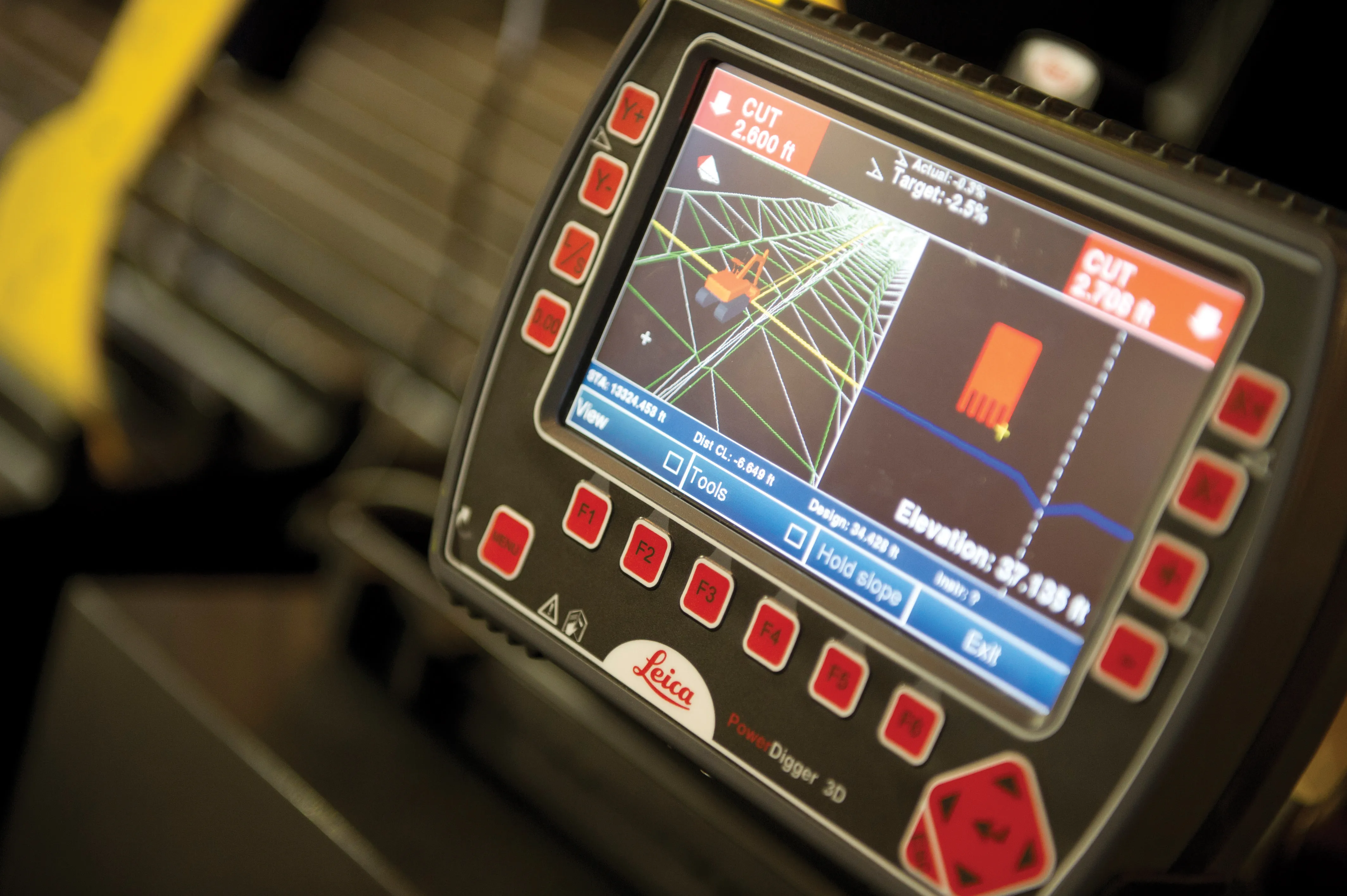
    THE RECENT CONEXPO-CON/AGG exhibition has seen the launch of a wealth of new machine control technologies - Mike Woof reports A fast pace of technological development in the machine control sector is seeing new innovations come to market at regular intervals. The developments remain focussed on the three main technology suppliers to this market, Leica Geosystems, Topcon and Trimble, offereng a combination of systems using machine control based on GPS, total station, sonic units and industrial inertial gu
  • Trimble’s new tools can boost drilling, piling and bucket weighing accuracy
    November 29, 2013
    Trimble is broadening its range of products with the introduction of its new DPS900 Drilling and Piling System and Business Center and the LOADRITE X2350 Payload Management System for excavators. According to the firm, the DPS900 Drilling and Piling system allows contractors to drill precisely at a specified location, to preset levels for depth, orientation and inclination angle. The HCE Drilling and Piling module is said to offer contractors tools to create optimised drilling and piling plans that can help