Smart software solution from 3D

Advanced software from 3D Repo offers additional support for some of the leading packages used within engineering and construction sectors, such as Autodesk Navisworks. This updated, cloud-based BIM collaboration platform provides improved support for large 3D models used in infrastructure projects. It also offers integrated VR functionality for applications such as training, safety and project consultation.
October 12, 2017 Read time: 2 mins

Advanced software from 3D Repo offers additional support for some of the leading packages used within engineering and construction sectors, such as 685 Autodesk Navisworks.

This updated, cloud-based BIM collaboration platform provides improved support for large 3D models used in infrastructure projects. It also offers integrated VR functionality for applications such as training, safety and project consultation.

The package is said to make project information more accessible and usable and can be utilised with many open source and proprietary formats. This allows users to share 3D models, issues and knowledge with a wider project team in the context of the original model.

The latest versions of 3D Repo’s Open Source, Starter, Professional and Enterprise packages include advanced integration with Autodesk Navisworks project review software. A custom plug-in allows data to be uploaded directly to the 3D Repo knowledge base without the need for tedious file exchanges. This works by breaking down and pushing the native Navisworks project directly into the 3D Repo platform online, instead of storing it in files. This allows users to view models and collaborate with the wider project team through their web browser, even on very large and complex projects.

3D Repo has also announced support for the BCF file format, allowing import/export of collaboration and markup data for issues tracking to software such as Solibri quality assurance solutions, 2122 Trimble’s Tekla product family and 3D architectural BIM software ARCHCAD. 

For more information on companies in this article

Related Content

  • Asset management can be optimised with new technology
    August 22, 2013
    An array of asset management technologies and capabilities are now available to help clients optimise infrastructure assessments. Global survey and geotechnical group, Fugro, has signed a multi-year agreement with Dutch pavement consultant, KOAC•NPC. This move will see the firms combine capabilities to undertake highway surface condition contracts in the Netherlands. Under the agreement, Fugro will collect surface condition data using its ARAN road scanning vehicle. KOAC•NPC, will carry out the post pro
  • Fast field data collection
    February 10, 2012
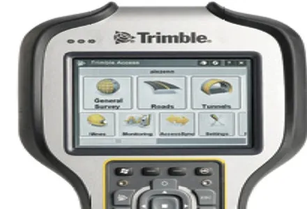
    Trimble's sophisticated TSC3 controller is designed to allow surveyors and geospatial professionals to collect, share and deliver data. This unit is said to improve accuracy, efficiency and productivity between the field and office and is designed to be used with the Trimble Access software. The TSC3 controller offers fast and reliable data collection, computing and connectivity capabilities and provides multiple functions in a single handheld device. The unit incorporates a digital camera, integrated commu
  • The industry’s most trusted brand in continuing education
    September 4, 2019
    With the release of an update catalogue of training and credential programmes available to road professionals worldwide, IRF has affirmed its role at the road industry’s most trusted brand in continuing education. For 70 years, an essential part of IRF’s mission has been the organisation and delivery of continuing education services that help strengthen human skills and contribute to the dissemination of knowledge and field expertise. Today, IRF’s curriculum of 40 certified courses provides technica
  • Improving excavator efficiency with Trimble
    December 11, 2018
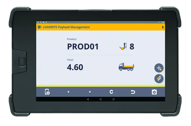
    A new development from Trimble is the integration of its LOADRITE load weighing system for excavators using the Earthworks Grade Control package. According to the firm, this will allow customers to boost productivity and efficiency for excavation work. Contractors will be able to track the load carried in each bucket and monitor mass haul progress. This can provide an accurate picture, real-time picture of earthworks progress using the Trimble Earthworks monitor fitted in the machine. This data will also be