Smart software solution from 3D

Advanced software from 3D Repo offers additional support for some of the leading packages used within engineering and construction sectors, such as Autodesk Navisworks. This updated, cloud-based BIM collaboration platform provides improved support for large 3D models used in infrastructure projects. It also offers integrated VR functionality for applications such as training, safety and project consultation.
October 12, 2017 Read time: 2 mins

Advanced software from 3D Repo offers additional support for some of the leading packages used within engineering and construction sectors, such as 685 Autodesk Navisworks.

This updated, cloud-based BIM collaboration platform provides improved support for large 3D models used in infrastructure projects. It also offers integrated VR functionality for applications such as training, safety and project consultation.

The package is said to make project information more accessible and usable and can be utilised with many open source and proprietary formats. This allows users to share 3D models, issues and knowledge with a wider project team in the context of the original model.

The latest versions of 3D Repo’s Open Source, Starter, Professional and Enterprise packages include advanced integration with Autodesk Navisworks project review software. A custom plug-in allows data to be uploaded directly to the 3D Repo knowledge base without the need for tedious file exchanges. This works by breaking down and pushing the native Navisworks project directly into the 3D Repo platform online, instead of storing it in files. This allows users to view models and collaborate with the wider project team through their web browser, even on very large and complex projects.

3D Repo has also announced support for the BCF file format, allowing import/export of collaboration and markup data for issues tracking to software such as Solibri quality assurance solutions, 2122 Trimble’s Tekla product family and 3D architectural BIM software ARCHCAD. 

For more information on companies in this article

Related Content

  • Smarter compaction technology in use in Missouri
    October 2, 2018
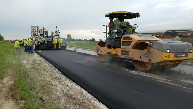
    Intelligent compaction and infrared scanning technologies have been used to improve construction quality The Missouri Department of Transportation (MoDOT) carried out a year-long project throughout 2017 to demonstrate the use of intelligent compaction (IC), infrared scanning (IR), and Veta software to improve pavement construction operations. “We were looking for ways to assess quality in asphalt projects,” said Bill Stone, research administrator at MoDOT. “We are working towards better pavements that l
  • Volvo CE upgrades key asphalt paver models
    December 13, 2018
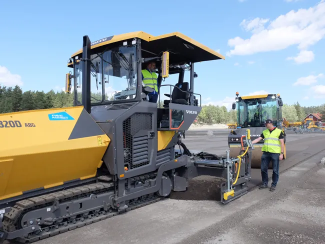
    Volvo CE is upgrading its key asphalt paver models with the addition of its latest generation technology. The company is now fitting the sophisticated EPMIII electronic pavement management system to its new generation P6820D. This machine is also equipped with the new PaveAssist package, which allows real-time monitoring of machine parameters. The P6820D replaces the earlier C series machine, with power from the latest generation Volvo D6 engine rated at 140KW, and which meets the Stage IV/Tier 4 Final em
  • Apps for all in Louisiana
    May 20, 2020
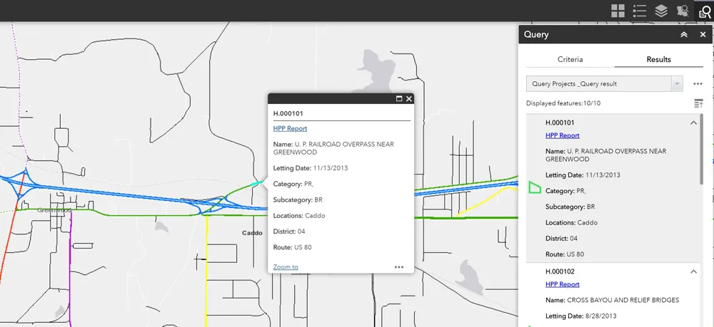
    Jason Barnes* looks at how a system of engagement (SoE) from software specialist Esri helped the US state of Louisiana’s transportation department create user-friendly apps
  • Mapping improvements
    February 13, 2012
    Trimble says that its Construction Manager version 2.5 package offers polygon site management and better support for CAD map overlays, using imagery provided by Google Maps. This advanced remote construction asset management solution combines GPS technology with wireless communication and Internet capabilities. The package can supply quantitative information to analyse and improve asset productivity, saving time and cutting construction project costs. The software features interpret charts, reports, and das