Smart software solution from 3D

Advanced software from 3D Repo offers additional support for some of the leading packages used within engineering and construction sectors, such as Autodesk Navisworks. This updated, cloud-based BIM collaboration platform provides improved support for large 3D models used in infrastructure projects. It also offers integrated VR functionality for applications such as training, safety and project consultation.
October 12, 2017 Read time: 2 mins

Advanced software from 3D Repo offers additional support for some of the leading packages used within engineering and construction sectors, such as 685 Autodesk Navisworks.

This updated, cloud-based BIM collaboration platform provides improved support for large 3D models used in infrastructure projects. It also offers integrated VR functionality for applications such as training, safety and project consultation.

The package is said to make project information more accessible and usable and can be utilised with many open source and proprietary formats. This allows users to share 3D models, issues and knowledge with a wider project team in the context of the original model.

The latest versions of 3D Repo’s Open Source, Starter, Professional and Enterprise packages include advanced integration with Autodesk Navisworks project review software. A custom plug-in allows data to be uploaded directly to the 3D Repo knowledge base without the need for tedious file exchanges. This works by breaking down and pushing the native Navisworks project directly into the 3D Repo platform online, instead of storing it in files. This allows users to view models and collaborate with the wider project team through their web browser, even on very large and complex projects.

3D Repo has also announced support for the BCF file format, allowing import/export of collaboration and markup data for issues tracking to software such as Solibri quality assurance solutions, 2122 Trimble’s Tekla product family and 3D architectural BIM software ARCHCAD. 

For more information on companies in this article

Related Content

  • Updates to Topcon MAGNET product improve customer notification
    April 23, 2015
    Topcon Positioning Group has updated the MAGNET suite of software solutions to ensure customers have the most up-to-date information available. MAGNET v3.0 includes several new and enhanced features designed to increase interconnectivity and productivity. Among the improvements are user notifications that new data is available, said Ronald Verheijen, Topcon manager of product support.
  • Rapid adoption of GPS machine control
    April 5, 2012
    The high sophistication of GPS machine control systems has resulted in a fast pace of technological advancement. The three major players in the machine control sector, Leica Geosystems, Topcon and Trimble have all made major gains in recent years. The sophistication of the latest systems can combine satellite position data from the GPS and GLONASS networks with information from total stations to provide precise, high speed machine operation. Further more the firms have also prepared themselves for the intro
  • Transtec launches Veta 6 software
    July 22, 2020
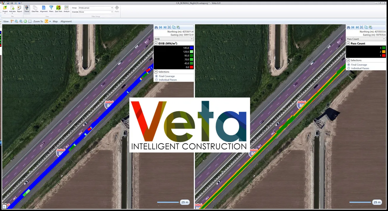
    Veta 6 enhances usability and expands features included with previous versions.
  • PTV’s novel traffic analysis system
    April 25, 2013
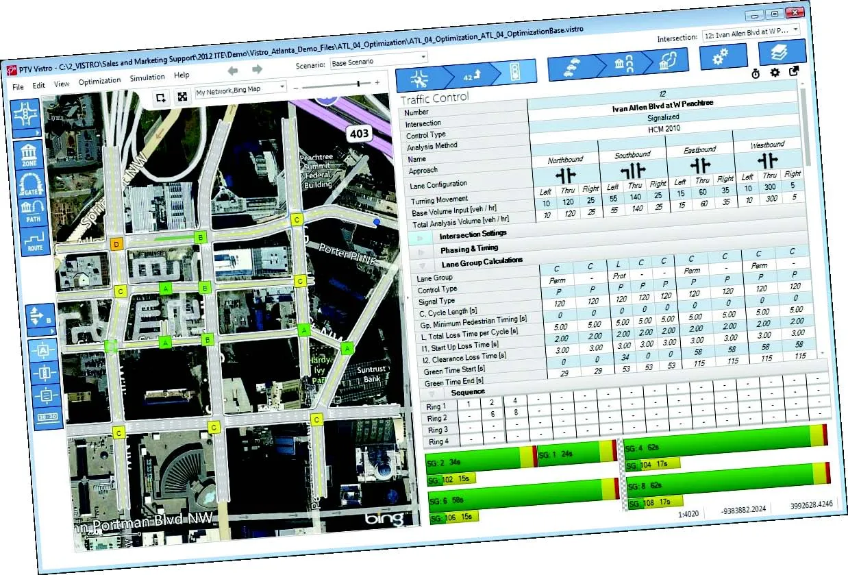
    German traffic analysis consultant and software maker PTV, which produces the well-known Visum and Vissim strategic traffic analysis and micro-simulation tools, has launched a new assessment tool aimed at studying traffic impact of new developments. PTV Vistro is claimed to be the first all-in­ one-solution for transport analysis and signal optimisation, an easy-to-use software that can be used to conduct traffic studies which are often a mandatory part of development applications and planning approvals.