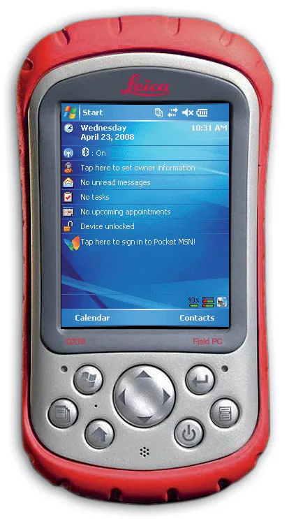
Leica Geosystems is expanding its range with the launch of its Leica DX10 Field Controller. This robust site PDA is designed specifically for use in the tough construction environment, is compact, versatile and powerful. The Leica DX10 delivers high performance and reliability and can cope with vibration, shock and temperature extremes. It features an ergonomically shaped case and weighs just 482grammes. Features include Bluetooth capabilities, a high contrast colour display, a 520MHz Intel Xscale processor