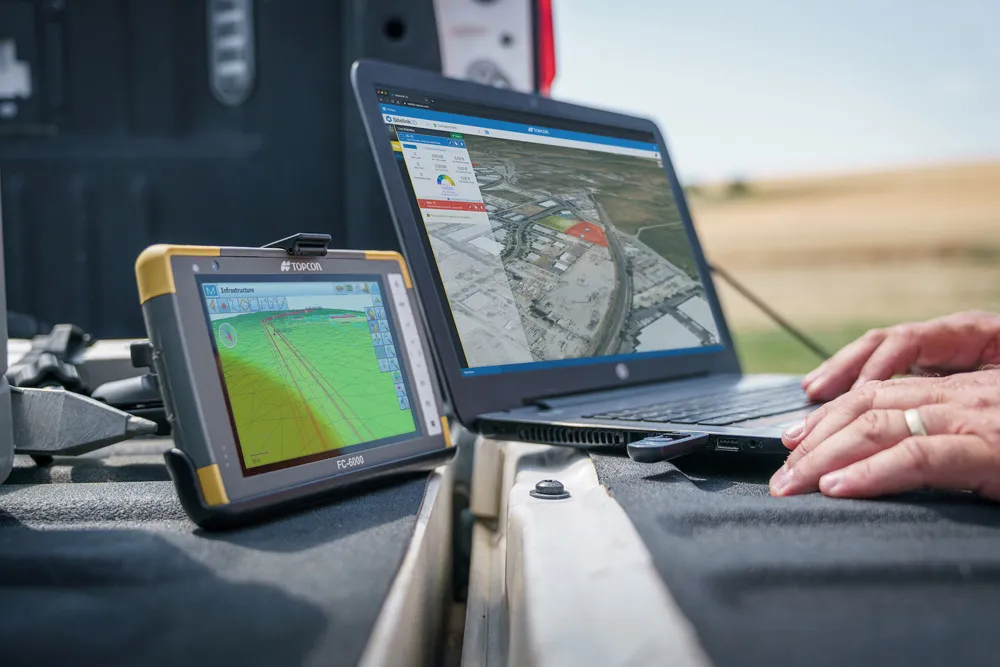
According to the firm, the MAGNET Collage Web allows users to access data through a web browser that integrates with the MAGNET Collage Office version. The package means that users can publish and share mass data maps in a user-friendly and intuitive 3D web-based environment. The firm also says that the solution offers better access to point cloud models by eliminating the need for installed software with high-performance computing requirements.
MAGNET Collage is intended to offer a single environment solution for professionals processing and publishing data from laser scanners, mobile mapping devices, modern paving scanners, and surveying tools.
The firm says that this service removes previous barriers for project teams looking to share 3D point cloud models inside their company or as a service to others.