Seeing noise with SoundPLAN’s software

The latest noise mapping software from SoundPLAN is said to offer a host of new features and enhancements. The SoundPLANnoise 8.0 package models levels and dispersion of noise in a variety of situations from individual rooms to entire countries. This upgraded version now offers an improved indoor noise mapping capability, a new interface with Googlemaps and OpenStreetMap and can work with the latest noise standards, including the Common Noise Assessment Methods in Europe (CNOSSOS-EU). The firm claims th
February 8, 2018 Read time: 1 min
The latest noise mapping software from 334 SoundPLAN is said to offer a host of new features and enhancements.


The SoundPLANnoise 8.0 package models levels and dispersion of noise in a variety of situations from individual rooms to entire countries.

This upgraded version now offers an improved indoor noise mapping capability, a new interface with Googlemaps and OpenStreetMap and can work with the latest noise standards, including the Common Noise Assessment Methods in Europe (CNOSSOS-EU). The firm claims that with this upgrade, users can generate accurate noise maps for their project whether big or small.

For more information on companies in this article

Related Content

  • 3D Repo develop virtual reality safety app for Balfour Beatty
    April 18, 2017
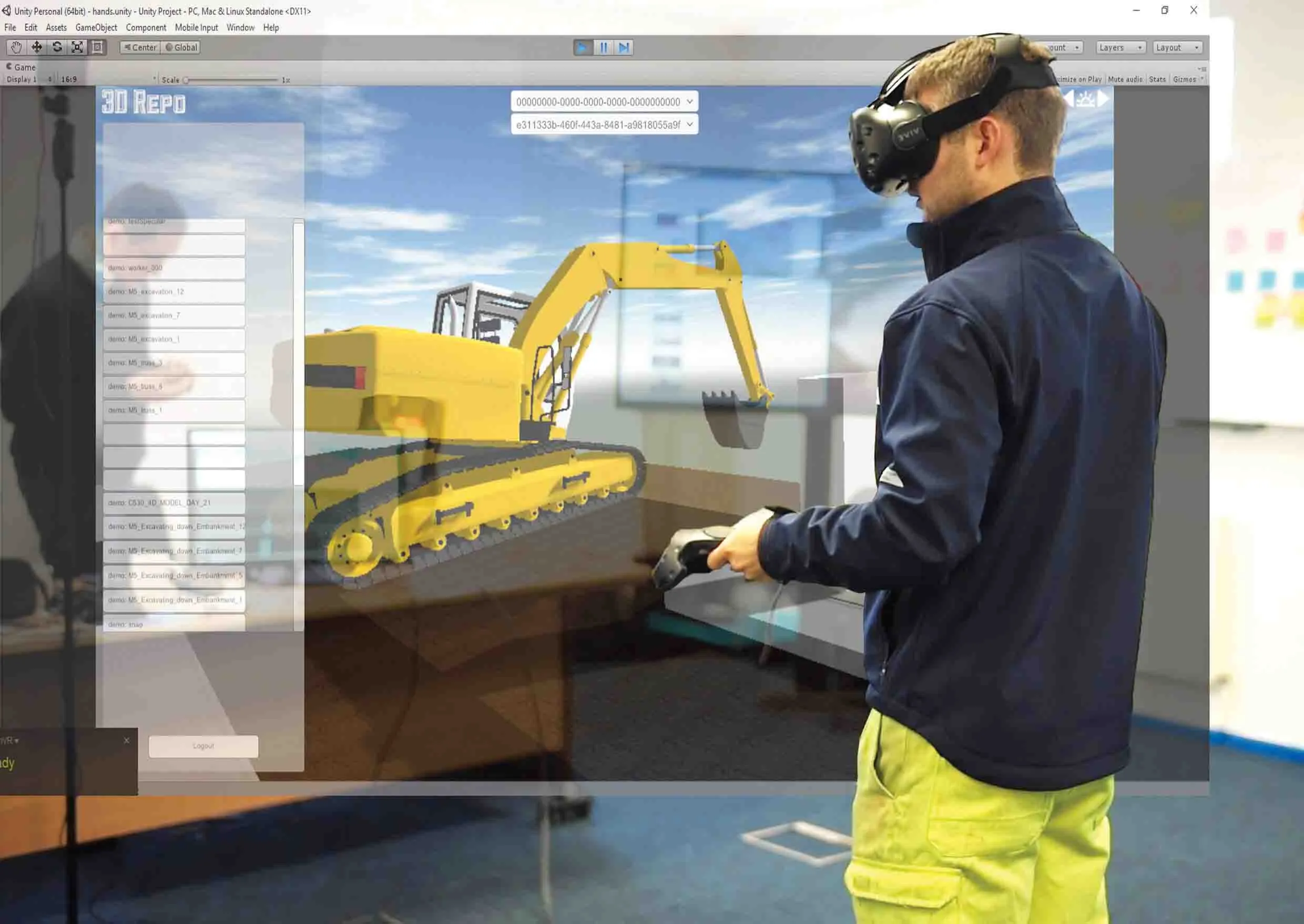
    3D Repo is working with contractors Balfour Beatty and Vinci and the UK roads agency Highways England to deploy a virtual reality simulation program for safety training. 3D Repo, a spin-off from University College London, develops open-source software for building information modelling in the cloud. More than 40 different 3D file formats are decomposed and federated in the company’s big data repository.
  • Automatic control
    February 7, 2012
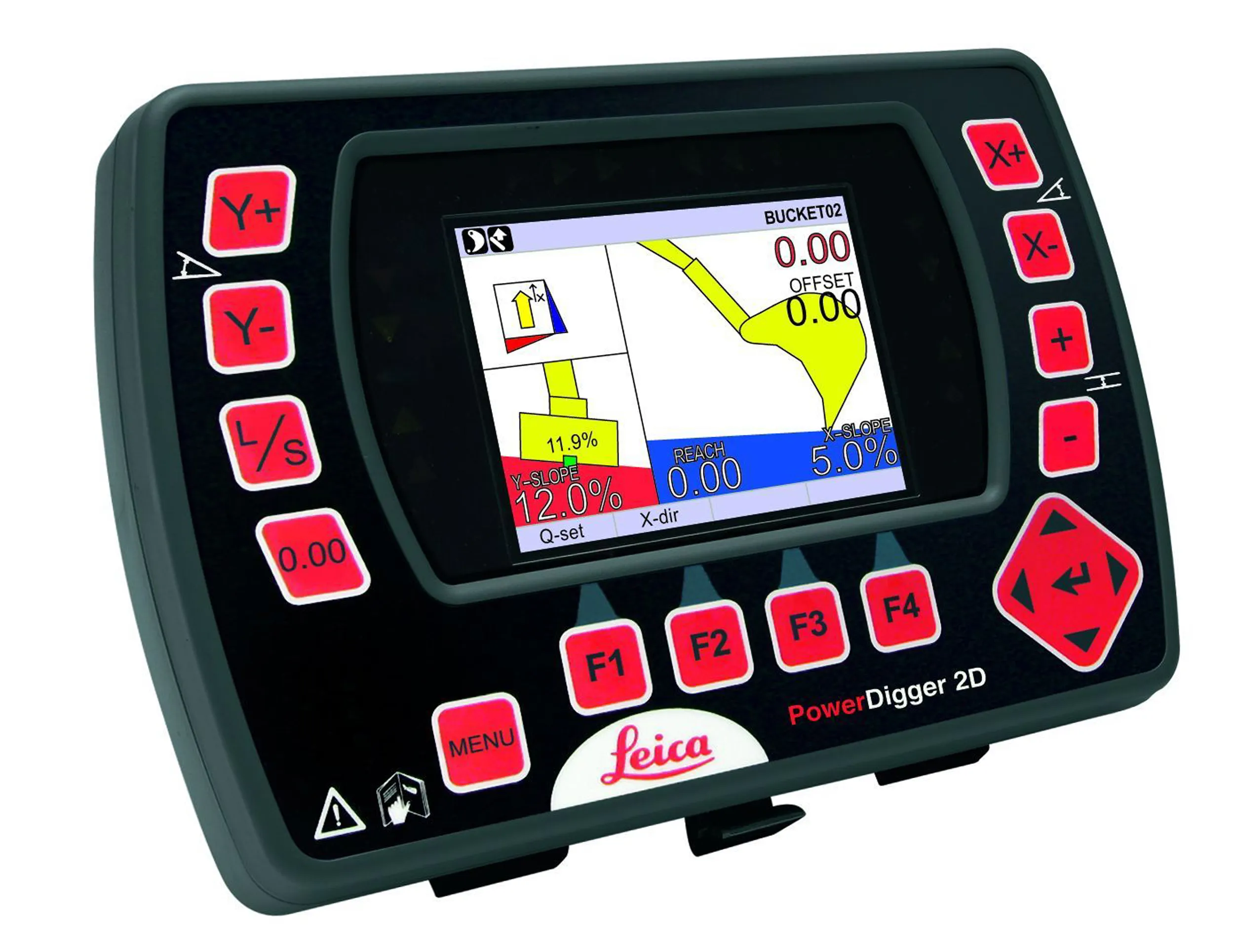
    Leica Geosystems says that sophisticated PowerDigger 2D guidance system for excavators offers automatic slope control. The system expands on its PowerSnap technology and is said to make excavating easier and more productive. The system uses a standard panel whether fitted to a dozer, excavator or grader, which is also said to save money on training and equipment, as well as reducing down time. Leica PowerDigger 2D system allows multiple elevations and slopes to be constructed at any orientation, witho
  • SICK launches 3D TIC502 LiDAR sensor system for traffic management
    May 18, 2018
    Sick says that its latest TIC502 twin LiDAR sensor system has high all-weather capability between -40OC and +60OC. The TIC502 incorporates vehicle speed detection with 3D profiling and counting of fast-lane, free flowing and static traffic to facilitate toll charge assessment. It can also be integrated with additional 2D LiDAR sensors to count axles for complete traffic profiling and assessment in a single system, according to the company that was set up in 1946 by optical engineer Erwin Sick in Waldkir
  • Lower noise surfaces under spotlight
    July 31, 2012
    Research is paramount in the development of better roads and safety. In a new series, Eurofile looks at the work and programmes of organisations dedicated to that end. In this issue: The German Federal Research Institute (BASt) The aims of BASt (an arm of the Federal Ministry of Transport) are to improve the cost-effectiveness of building and maintaining federal trunk roads, to increase the safety of road transport, to reduce the environmental impact produced by road traffic and construction and to improve