High-speed, versatile laser scanning can now be achieved using the latest technology from Leica Geosystems. The firm's sophisticated ScanStation C10 package features a new high-definition surveying (HDS) scanner that is said to increase surveying productivity and accuracy for both routine surveys and large, complex projects.
March 1, 2012
Read time: 2 mins

High-speed, versatile laser scanning can now be achieved using the latest technology from 265 Leica Geosystems.
The firm's sophisticated ScanStation C10 package features a new high-definition surveying (HDS) scanner that is said to increase surveying productivity and accuracy for both routine surveys and large, complex projects. The package comes with the Smart X-Mirror, which can operate in either oscillating or rotating mode and is said to eliminate the need for double window scans. This unit is capable of scanning up to 50,000 data points/second and the new ScanStation C10 can scan sites and structures up to 10 times faster than the earlier Leica ScanStation 2.
According to Leica Geosystems, using the ScanStation C10 allows surveyors to cut field time by 50% or more, enabling them to increase profit margins. This new package also allows surveyors to produce a more accurate and detailed survey as it captures overhead, vertical, horizontal, and sub-level geometry over a full field of view, with a pointing accuracy down to 1mm. Eliminating the need for reflectors has helped boost safety when scanning structures such as towers, bridges, and tunnels that have dangerous or difficult-to-reach areas.
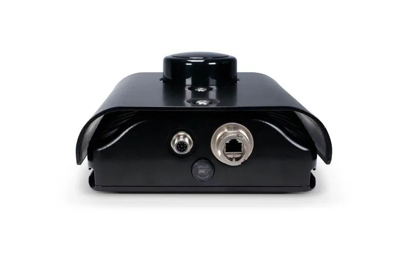
The Leica ScanStation C10 is an integrated, cordless system with onboard batteries for extended use on-site. The scanner has an onboard interface with high-resolution, colour touch-screen and integrated, high-resolution zoom camera/video. A digital image sensor captures both single frames and continuous video. The system features a dual-axis compensator, laser plummet, and rotating horizontal turret for quick setup over a known point. It can interface with standard survey accessories such as TPS batteries, total station prisms, as well as the Leica GPS SmartAntenna. Meanwhile the ScanStation C10's onboard software makes users more efficient and its internal hard disk eliminates the need to attach a laptop.


