Scanning accurately

Riegl says that its innovative laser scanners allow accurate 3D mapping from the air or on-road. The system uses high-speed laser pulses to capture millimetre accurate measurements at ranges of up to 500m. The scanners offer online full-waveform analysis, digital processing and high data capture rates, according to the firm. With scanning rates up to 100 scans/second and pulse repetition rates up to 200 Hz the range is said to offer multiple, unlimited target capability. A range of additional options includ
July 19, 2012 Read time: 1 min
Riegl says that its innovative laser scanners allow accurate 3D mapping from the air or on-road. The system uses high-speed laser pulses to capture millimetre accurate measurements at ranges of up to 500m. The scanners offer online full-waveform analysis, digital processing and high data capture rates, according to the firm. With scanning rates up to 100 scans/second and pulse repetition rates up to 200 Hz the range is said to offer multiple, unlimited target capability. A range of additional options include camera, cableless operation and additional data storage. The technology is available in the UK, Ireland and sub-Saharan Africa through 1639 3D Laser Mapping.

For more information on companies in this article

Related Content

  • Brisbane’s Airport: Innovative Management of One of the World’s Busiest Runways
    June 26, 2014
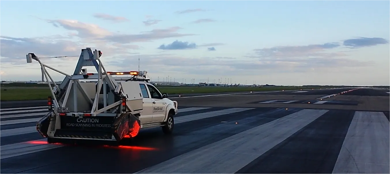
    When it comes to runways, there are few busier then Brisbane’s main runway. Servicing both domestic and international travel, with over 200,000 movements per year, operating without a curfew Brisbane’s main runway is the busiest in Australia. For maintenance, crews only have a limited period of time to determine the pavement condition, normally during the night, making the detection of pavement faults difficult. To resolve this issue, a new high speed pavement scanner was used to rapidly survey the pavem
  • Topcon announces increased integration with Autodesk scanning software
    June 2, 2016
    Topcon Positioning Group has announced increased integration in the Autodesk and Topcon reality data workflow that it says is designed to increase project efficiency. Raw scan data from the Topcon GLS-2000 laser scanner can now be taken directly into Autodesk ReCap 360 and ReCap 360 Pro with no intermediate software conversion steps necessary. Topcon said that this integration is designed to streamline point cloud analysis to quickly identify conflicts, measure variations and make adjustments at vari
  • Sophisticated scanning tool from Leica Geosystems
    November 8, 2017
    A new laser scanning tool from Leica Geosystems offers accurate and fast 3D imaging laser scanning capabilities. The Leica BLK360 is said to be compact and easy to use, offering powerful spherical image capture duties. The firm says that the unit allows professionals to capture 360° imagery within minutes.
  • Weigh in motion technology reduces road damage
    February 8, 2012
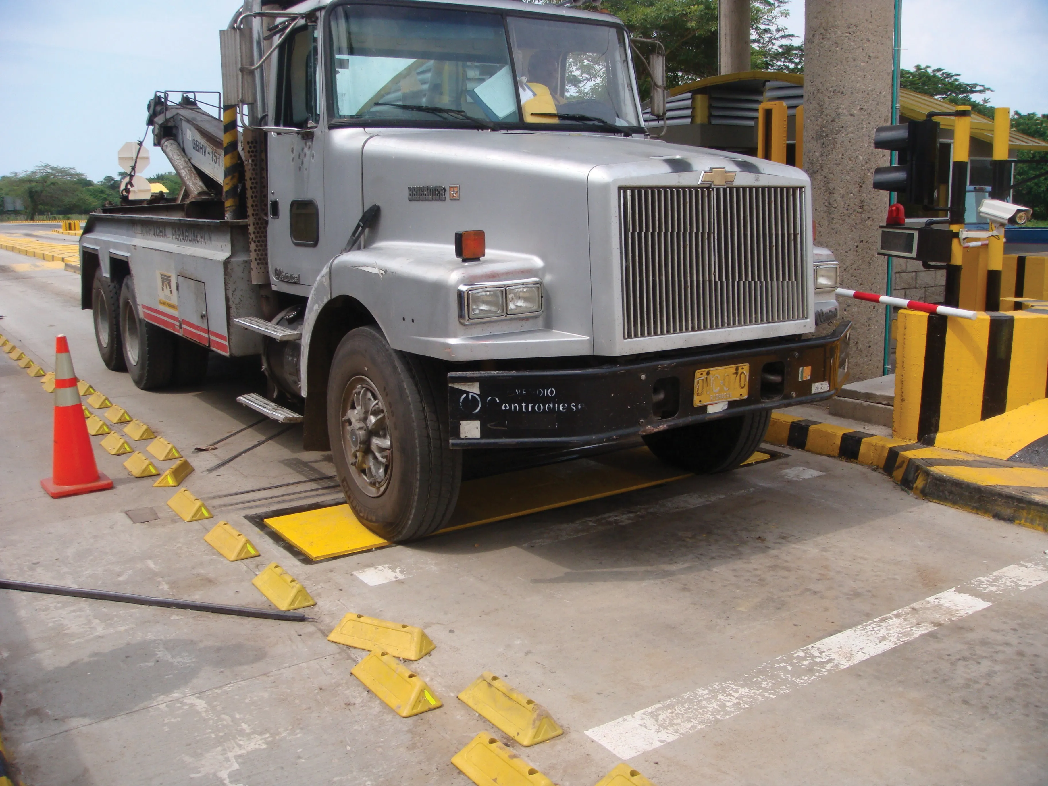
    Overweight vehicles cause enormous damage to road structures but they can be caught, even at high speed. Weigh-in-motion or WIM devices are designed to capture and record axle weights and gross vehicle weights as vehicles drive over a measurement site.