Scanning accurately

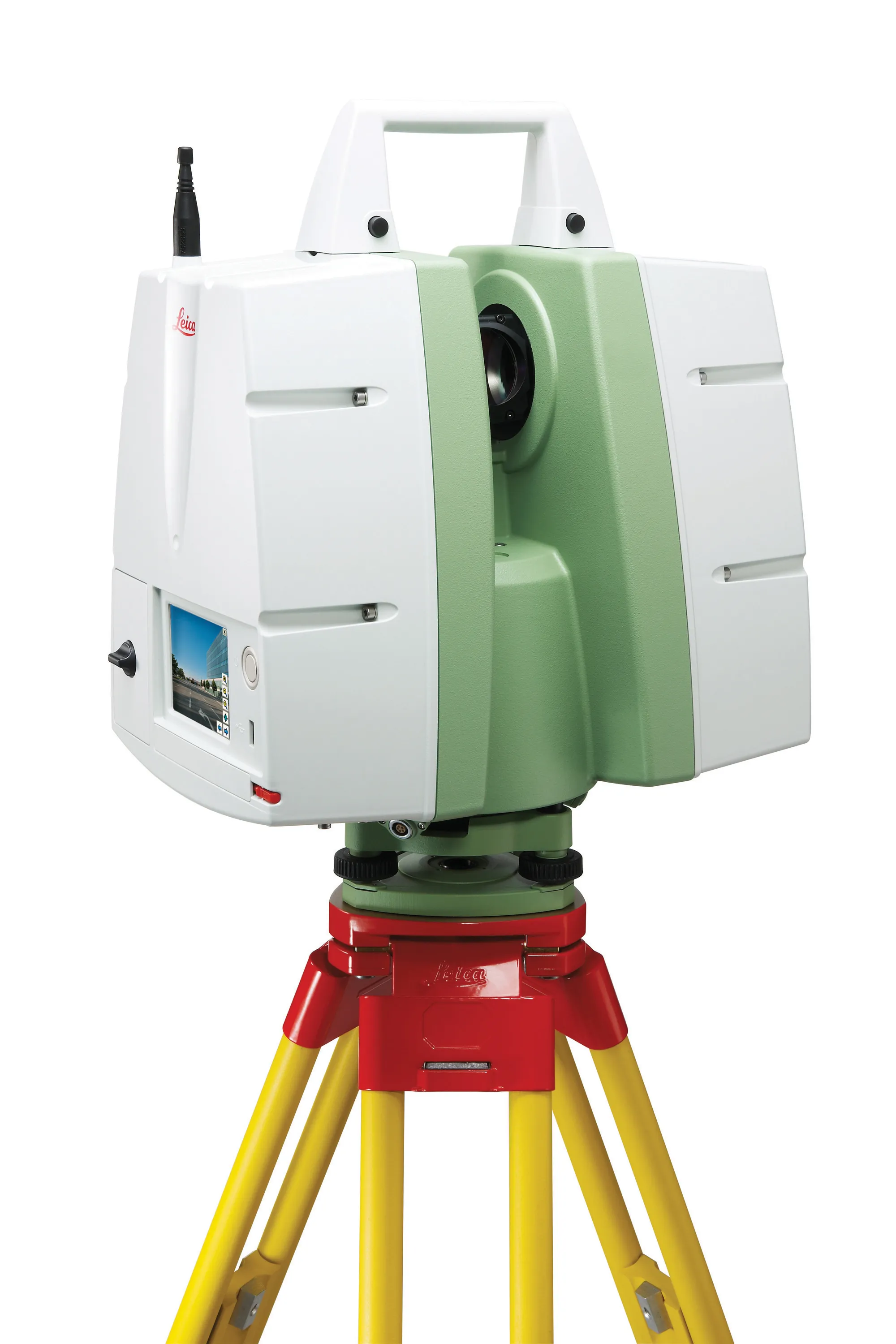
Riegl says that its innovative laser scanners allow accurate 3D mapping from the air or on-road. The system uses high-speed laser pulses to capture millimetre accurate measurements at ranges of up to 500m. The scanners offer online full-waveform analysis, digital processing and high data capture rates, according to the firm. With scanning rates up to 100 scans/second and pulse repetition rates up to 200 Hz the range is said to offer multiple, unlimited target capability. A range of additional options includ
July 19, 2012 Read time: 1 min
Riegl says that its innovative laser scanners allow accurate 3D mapping from the air or on-road. The system uses high-speed laser pulses to capture millimetre accurate measurements at ranges of up to 500m. The scanners offer online full-waveform analysis, digital processing and high data capture rates, according to the firm. With scanning rates up to 100 scans/second and pulse repetition rates up to 200 Hz the range is said to offer multiple, unlimited target capability. A range of additional options include camera, cableless operation and additional data storage. The technology is available in the UK, Ireland and sub-Saharan Africa through 1639 3D Laser Mapping.

For more information on companies in this article

Related Content

  • Accurate laser scanning with Leica Geosystems
    February 6, 2020
    A new handheld imaging laser scanner from Leica Geosystems is said to offer high efficiency for surveyors.
  • Innovation in road design and management software
    February 17, 2012
    The emphasis on data processing and re-use, continues to grow in the development of design and management software. The interoperability of software, the need to handle and process larger amounts of data, and re-use and retention of data sets from one task to another have been a growing emphasis in the past few years. It allows infrastructure companies to get better value from expensively collected information and to focus more on the whole life cycle of projects.
  • Laser scanning versatility
    February 13, 2012
    The upgraded ScanStation C10 laser scanning system from Leica Geosystems now offers high performance as well as increased versatility and productivity.
  • Made to Measure laser mapping
    June 15, 2012
    Dutch surveying company Geomaat says it is taking millimetre accurate measurements in record time to aid a range of highway design, construction and maintenance projects. Using the mobile laser mapping system StreetMapper, and specially developed point cloud software, Geomaat says it can calculate highly accurate cutting, milling and asphalt figures, create as built models and undertake change detection.