Riegl says that its innovative laser scanners allow accurate 3D mapping from the air or on-road. The system uses high-speed laser pulses to capture millimetre accurate measurements at ranges of up to 500m. The scanners offer online full-waveform analysis, digital processing and high data capture rates, according to the firm. With scanning rates up to 100 scans/second and pulse repetition rates up to 200 Hz the range is said to offer multiple, unlimited target capability. A range of additional options includ

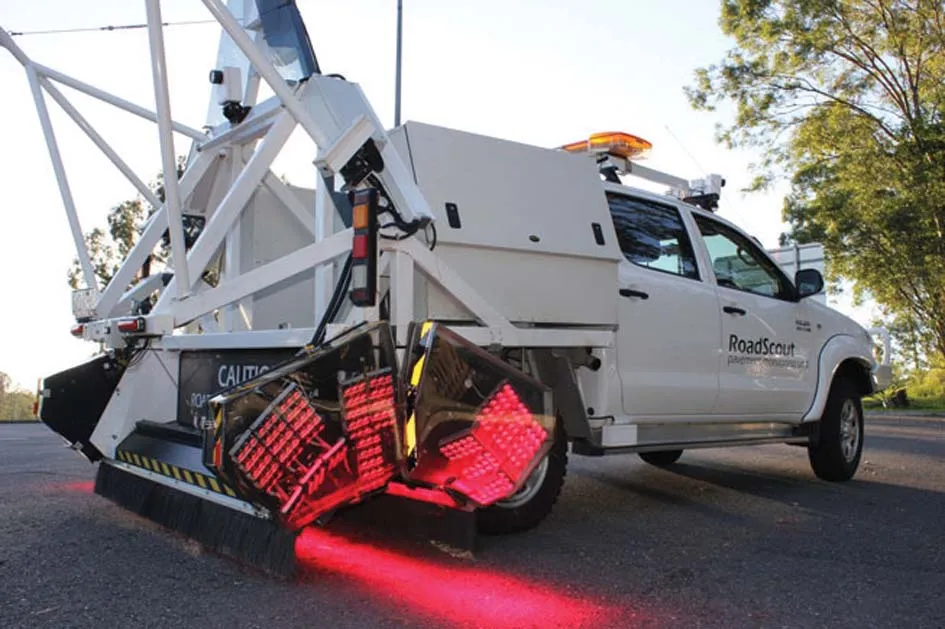
Riegl says that its innovative laser scanners allow accurate 3D mapping from the air or on-road. The system uses high-speed laser pulses to capture millimetre accurate measurements at ranges of up to 500m. The scanners offer online full-waveform analysis, digital processing and high data capture rates, according to the firm. With scanning rates up to 100 scans/second and pulse repetition rates up to 200 Hz the range is said to offer multiple, unlimited target capability. A range of additional options include camera, cableless operation and additional data storage. The technology is available in the UK, Ireland and sub-Saharan Africa through 1639 3D Laser Mapping.