Real time site monitoring technology

Leica Geosystems is broadening its site monitoring technology with the introduction of the GeoMoS package. This can be linked to the firm's existing GNSS Spider software to offer an array of TPS and GNSS monitoring tools. Combined, these tools provide a web-based service for visualisation and analysis of monitoring. Authorised users can access a monitoring project using a web browser, pocket PC or mobile phone. Using the GeoMoS Web service, graphs and views can be customised and be tailored to the needs of
July 19, 2012 Read time: 2 mins
265 Leica Geosystems is broadening its site monitoring technology with the introduction of the GeoMoS package. This can be linked to the firm's existing GNSS Spider software to offer an array of TPS and GNSS monitoring tools. Combined, these tools provide a web-based service for visualisation and analysis of monitoring. Authorised users can access a monitoring project using a web browser, pocket PC or mobile phone. Using the GeoMoS Web service, graphs and views can be customised and be tailored to the needs of each project. Multiple monitoring projects or sites can be included in GeoMoS Web, allowing authorised personnel to view sensitive data. Configuration tools bring the data to the web and interactive graphics allow an overview of the monitoring data, providing warnings when a project exceeds specified tolerances.

Meanwhile, improved surveying capabilities are claimed for the latest Total Stations product from Leica Geosystems. The new Leica FlexLine units are modular in design and hardware and software options can be selected to meets customer requirements. Purchasers can opt for pre-configured products or add specific hardware and software options to a base model and there are three pre-configured instruments within the FlexLine range. The Leica FlexLine TS02 is designed for standard measurement tasks, with a set of application software, a Bluetooth option, USB option and alpha-numeric keyboard option. The Leica FlexLine TS06 is versatile and comes with an alpha-numerical keyboard and a complete set of application software as standard while options include Bluetooth technology and a USB connection. The Leica FlexLine TS09 Total Station includes all FlexLine features from removable USB memory, Bluetooth technology, Emitting Guide Light and application software. Customers can also choose from a wide selection of additional hardware and software features.

For more information on companies in this article

Related Content

  • Telensa and Streetlight Vision form strategic partnership
    August 9, 2013
    Telensa, a ‘smart’ wireless street lighting technology company, and Streetlight.Vision, the central management software provider for ‘smart’ street light and ‘smart’ street solutions, have announced a strategic partnership to integrate their renowned hardware and software systems. The strategic collaboration will see the two companies’ engineering teams working together to interface Telensa’s PLANet (Public Lighting Active Network) system seamlessly with Streetlight.Vision’s central management software plat
  • RoadVista launches StripeMaster 3
    March 1, 2023
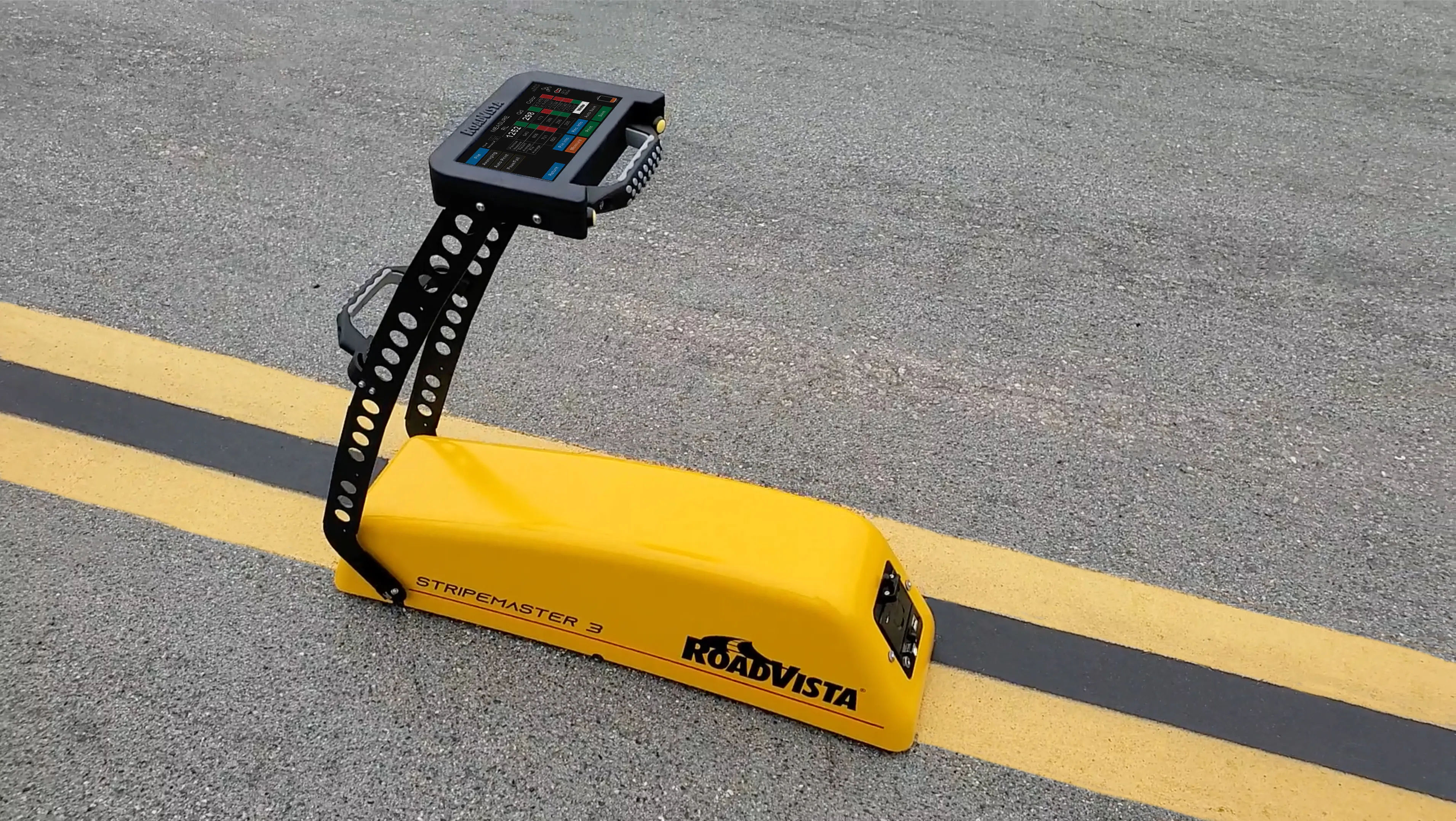
    StripeMaster 3 quantifies roadway and airfield pavement marking characteristics including retroreflectivity, daytime visibility and night-time retroreflected colour.
  • Trimble’s innovative technology at Conexpo 2014
    January 6, 2017
    The Trimble Quantm alignment planning system allows road designers to reduce planning time and deliver projects with minimal environmental and social impact at a lower construction and operating cost. The system, on show at Conexpo 2014, analyses millions of alignment alternatives and returns a range of options to the planning team for consideration. When new data becomes available the Quantm system can quickly recalculate more alignment options.
  • Trimble’s innovative technology at Conexpo 2014
    January 17, 2014
    The Trimble Quantm alignment planning system allows road designers to reduce planning time and deliver projects with minimal environmental and social impact at a lower construction and operating cost. The system, on show at Conexpo 2014, analyses millions of alignment alternatives and returns a range of options to the planning team for consideration. When new data becomes available the Quantm system can quickly recalculate more alignment options.