Real time site monitoring technology

Leica Geosystems is broadening its site monitoring technology with the introduction of the GeoMoS package. This can be linked to the firm's existing GNSS Spider software to offer an array of TPS and GNSS monitoring tools. Combined, these tools provide a web-based service for visualisation and analysis of monitoring. Authorised users can access a monitoring project using a web browser, pocket PC or mobile phone. Using the GeoMoS Web service, graphs and views can be customised and be tailored to the needs of
July 19, 2012 Read time: 2 mins
265 Leica Geosystems is broadening its site monitoring technology with the introduction of the GeoMoS package. This can be linked to the firm's existing GNSS Spider software to offer an array of TPS and GNSS monitoring tools. Combined, these tools provide a web-based service for visualisation and analysis of monitoring. Authorised users can access a monitoring project using a web browser, pocket PC or mobile phone. Using the GeoMoS Web service, graphs and views can be customised and be tailored to the needs of each project. Multiple monitoring projects or sites can be included in GeoMoS Web, allowing authorised personnel to view sensitive data. Configuration tools bring the data to the web and interactive graphics allow an overview of the monitoring data, providing warnings when a project exceeds specified tolerances.

Meanwhile, improved surveying capabilities are claimed for the latest Total Stations product from Leica Geosystems. The new Leica FlexLine units are modular in design and hardware and software options can be selected to meets customer requirements. Purchasers can opt for pre-configured products or add specific hardware and software options to a base model and there are three pre-configured instruments within the FlexLine range. The Leica FlexLine TS02 is designed for standard measurement tasks, with a set of application software, a Bluetooth option, USB option and alpha-numeric keyboard option. The Leica FlexLine TS06 is versatile and comes with an alpha-numerical keyboard and a complete set of application software as standard while options include Bluetooth technology and a USB connection. The Leica FlexLine TS09 Total Station includes all FlexLine features from removable USB memory, Bluetooth technology, Emitting Guide Light and application software. Customers can also choose from a wide selection of additional hardware and software features.

For more information on companies in this article

Related Content

  • Revolutionary cable locator
    June 19, 2012
    Leica Geosystems says its new Leica Digicat 600i and 650i series, with Logicat software, is set to revolutionise underground cable location. The 600i and 650i, fitted with what Leica says is an innovative data capture and on-board memory function, is said to aid operations management moves to increase onsite safety by detecting cables and identifying operator training needs. Locating underground cables and pipes is said to be a simple and efficient task with the 600i and 650i series, boosting the operator’s
  • Sophisticated slipformer control from Wirtgen
    August 10, 2018
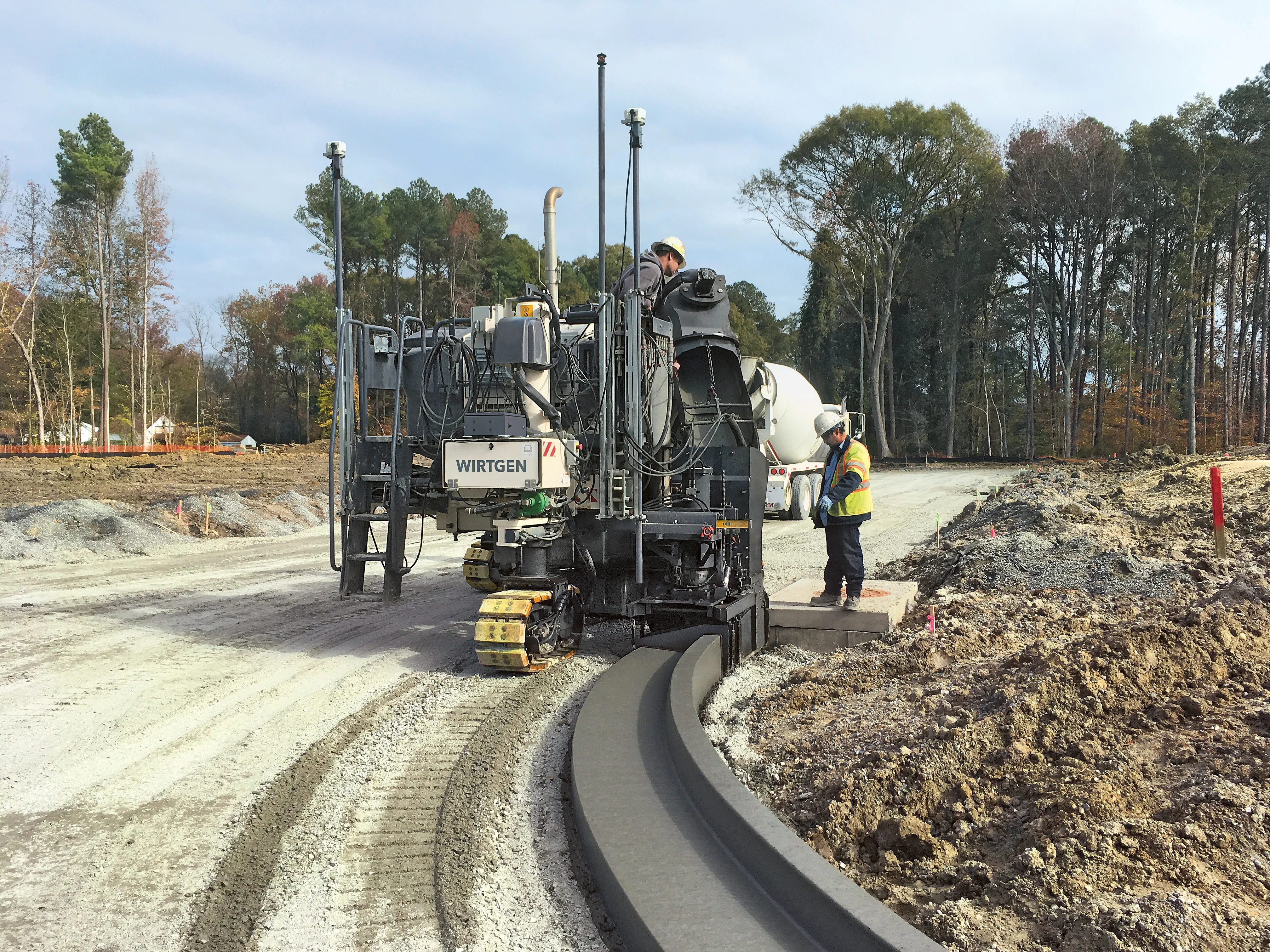
    Wirtgen is now offering a new version of its concrete slipformer control package. This new tool offers additional capabilities and improved performance over the earlier version. The company claims that its upgraded Wirtgen AutoPilot 2.0 package can deliver a higher paving accuracy along with lower costs. Newly-developed, this package is said to produce a wide array of offset and inset profiles, while also delivering these more economically and precisely than with the previous version. The 3D system can eit
  • Sophisticated new loaders
    March 10, 2021
    Sophisticated new wheeled loaders are now coming to market from key suppliers
  • Control versatility
    July 2, 2012
    Leica Geosystems says that its CI-14 CAT Interface Module cuts installation time when fitting its 2D & 3D machine control systems to Caterpillar off-highway machines. Using the CI-14 package is said to eliminate the cost and effort of installing add-on hydraulic valves when fitting control tools from Leica Geosystems to Caterpillar K and T Series dozers and M Series graders. The CI-14 system can be used in conjunction with laser, slope, ultrasonic or 3D GPS/GNSS as well as the Leica PowerTracker total stati