Precision pinpointing

Leica Geosystems says that its TS30 package is a new high precision Total Station that meets highest standards in all surveying applications. Distances can now be measured with Leica Geosystems' proven PinPoint EDM Technology with an unprecedented precision of 0.6mm + 1ppm on prisms. On natural surfaces a high accuracy of 2mm + 2ppm up to 1,000m can be achieved.
March 1, 2012 Read time: 2 mins
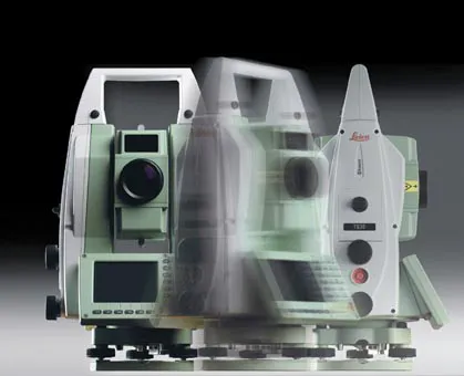
Precise positioning is possible with the new TS30 package from Leica Geosystems
265 Leica Geosystems says that its TS30 package is a new high precision Total Station that meets highest standards in all surveying applications. Distances can now be measured with Leica Geosystems' proven PinPoint EDM Technology with an unprecedented precision of 0.6mm + 1ppm on prisms. On natural surfaces a high accuracy of 2mm + 2ppm up to 1,000m can be achieved.

New direct drives using piezo technology were developed for the Leica TS30, allowing high tracking performance, with maximum acceleration and speed while maintaining accuracy under demanding conditions. This new technology allows automated one-person surveying and higher productivity.

Combined with the firm's Leica SmartWorx software, users can set the package up as a Leica TS30 SmartStation with the latest future proof GNSS antenna to provide immediate station coordinates. With the GNSS antenna on top of the 360° prism as a SmartPole, quick and accurate set-up can be achieved on-the-fly.

Features of the TS30 include long service intervals and low power consumption as well as a durable construction to withstand severe environments. The piezo drives allow for longer operation through low power consumption with sophisticated power management.

For more information on companies in this article

Related Content

  • Leica’s growing support network
    April 23, 2013
    Leica Geosystems has launched Leica Zeno Office v3.1 and Leica MobileMatriX v5.1 software updates for the Zeno GIS series. Leica Zeno Office v3.1 and MobileMatriX v5.1 now support the new Leica CS25 GNSS, an innovative tablet computer and high accuracy data collector; Esri ArcGIS 10.0/10.1; and post-processing accuracy improvements. Johannes Hotz, senior product manager, says: “Both Zeno Office, in combination with Leica Zeno Field, and MobileMatriX further support the measurement of positions and associate
  • Sophisticated new loaders
    March 10, 2021
    Sophisticated new wheeled loaders are now coming to market from key suppliers
  • Earthmoving market introductions
    February 11, 2020
    Earthmoving innovations are coming to market in the shape of new excavators and wheeled loaders
  • Accurate scanning
    February 6, 2012
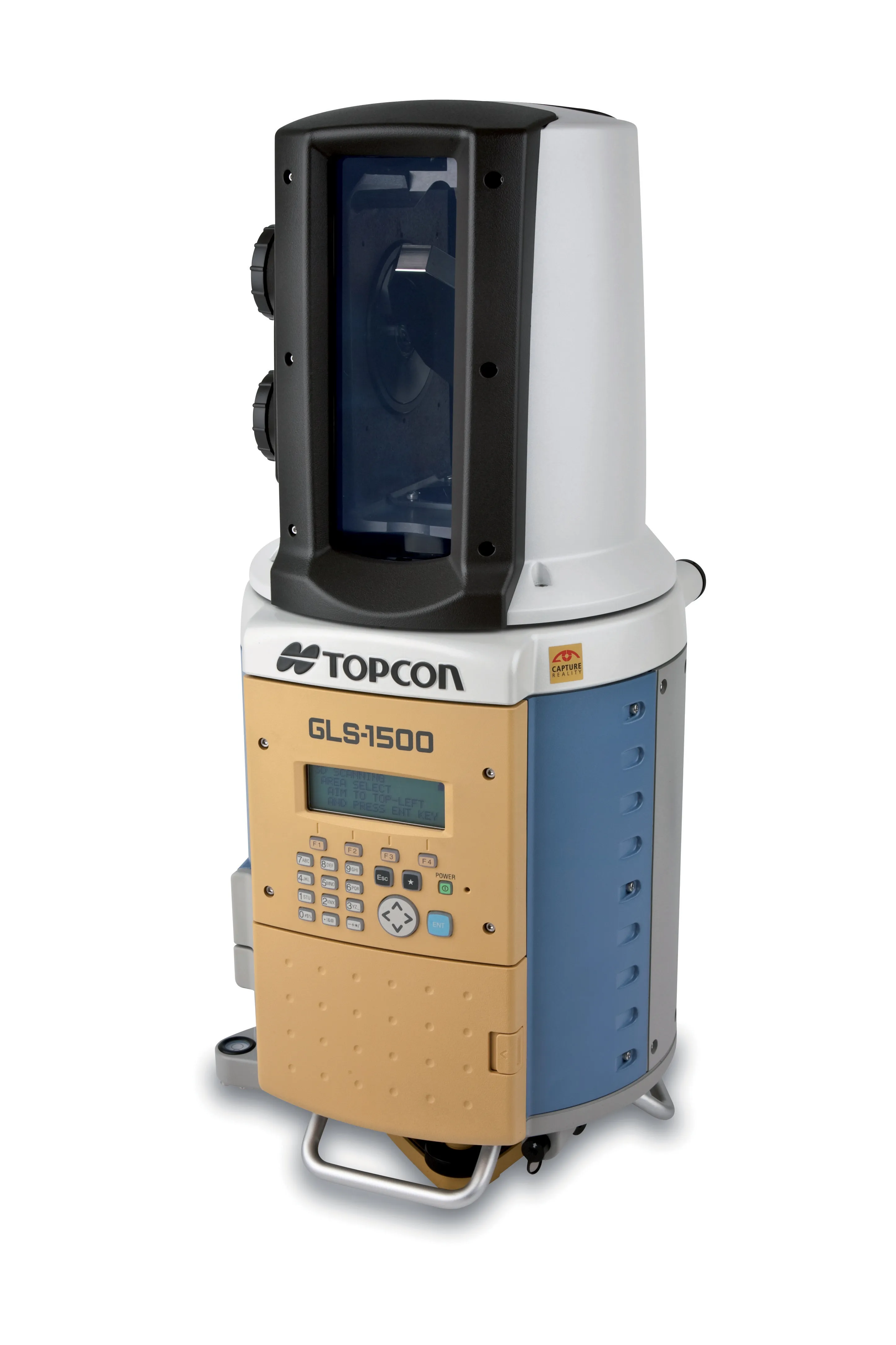
    TOPCON CLAIMS that its GLS- 1500 laser scanner speeds point cloud collection. This unit is 10 times faster than previous units and collects up to 30,000 points/second, reducing the amount of equipment needed in the field. The GLS-1500 offers a range of up to 330m and is designed for quick setup to save time and improve productivity.