Positioning tools from Topcon

Topcon is offering an array of new tools that can improve surveying and machine control capabilities for contractors. Light and compact, the B110 dual-frequency positioning receiver board features the new Vanguard ASIC system and can support 226 universal channels for GPS, GLONASS and Galileo tracking and scalable positioning. The B110 board’s small size, low power consumption and versatile communication interfaces make it easy to integrate into any precise positioning application. It features a high perfor
November 15, 2012 Read time: 2 mins
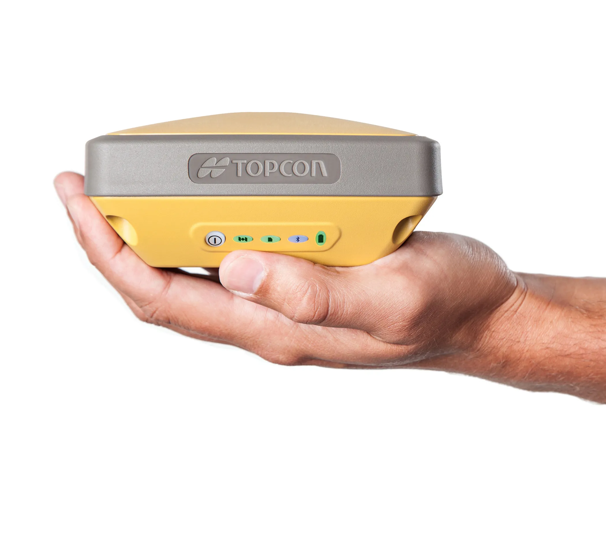
Topcon’s HiPer SR package is said to offer accurate positioning in a compact format
342 Topcon is offering an array of new tools that can improve surveying and machine control capabilities for contractors.

Light and compact, the B110 dual-frequency positioning receiver board features the new Vanguard ASIC system and can support 226 universal channels for GPS, GLONASS and Galileo tracking and scalable positioning.

The B110 board’s small size, low power consumption and versatile communication interfaces make it easy to integrate into any precise positioning application. It features a high performance RTK engine and a position update rate of 100Hz, as well as SD/MMC card interfaces for quick and easy support for data logging.

The new HiPer SR is an advanced GNSS RTK receiver and is also compact and lightweight. This high-accuracy RTK technology is cable-free and simple to operate, delivering a 300m working radius through Topcon’s new LongLink technology. Rugged and durable, the system provides reliable and interference-free RTK base-to-rover communications that do not require an FCC license to operate. Topcon’s Vanguard GNSS chip offers support for all modernised GNSS constellations and incorporates the firm’s patented Universal Tracking Channel technology. This capability allows multi-constellation tracking but with lower power consumption and system weight compared with earlier generation systems.

For more information on companies in this article

Related Content

  • Data handling for efficient machine control
    October 16, 2012
    The rapid increase in information availability is transforming the construction sector. Conventional methods used for sourcing geographic data based on maps and localised sampling meant that there was often a lack of accurate information relating to ground conditions at specific areas where work was planned, often resulting in unwelcome surprises for construction companies along with additional costs for projects.
  • Topcon’s SIRIUS PRO is new mapping essential
    May 19, 2014
    Topcon Positioning Group has launched in Europe the Topcon SIRIUS PRO powered by MAVinci, an Unmanned Aerial System (UAS) designed to produce the most accurate solutions for automated mapping of construction sites, pipelines, disaster areas, mines, quarries and myriad sites without regard to terrain.
  • Topcon and Bentley join forces to model reality
    March 8, 2017
    Topcon Positioning and Bentley Systems are introducing the product of their joint development project at CONEXPO-CON/AGG 2017, a reality modelling software solution.
  • New integration with Carlson Machine Control and Atlas Copco’s FlexiROC with HEC3 Drills
    January 6, 2017
    Installation and testing has been completed at the Atlas Copco factory in Örebro, Sweden, on the first system integration of Carlson Machine Control’s CBx5 control box console running Carlson DrillGrade software on a FlexiROC HEC3 C65 drilling system. This is said to mark the first successful factory installation of a 3D drilling system integrating Atlas Copco’s new third party protocol available on FlexiROC drills with the HEC3 system. The first of several systems has been delivered to a mine in Finland an