Picture perfect from Leica

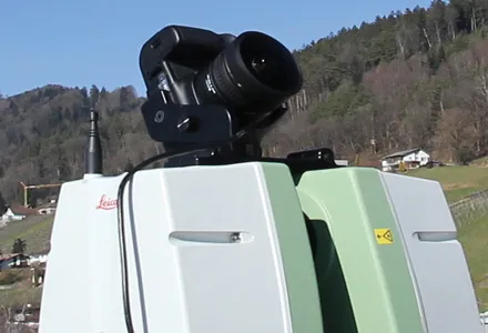
Advanced imaging capability has been added to the Leica ScanStation C10 laser scanner. The new option consists of a direct digital camera mount on the ScanStation C10 scanner and tight, automated integration of external camera images into the scanner’s on-board controller and data storage system. Cyclone v7.4 supports the new option.
July 18, 2012 Read time: 2 mins
Advanced imaging capability has been added to the Leica ScanStation C10 laser scanner.

The new option consists of a direct digital camera mount on the ScanStation C10 scanner and tight, automated integration of external camera images into the scanner’s on-board controller and data storage system. Cyclone v7.4 supports the new option.

265 Leica Geosystems (LG) said ScanStation C10 users will continue to have the option of using the scanner’s convenient, embedded camera for taking precisely aligned, high-resolution digital pictures of the surrounding scene.

The company’s ScanStation C5 with internal camera option can also be used with the new external camera option.

With the growing popularity of powerful point cloud viewing software capabilities like TruView, Cyclone TruSpace, and fly-through movies, users are said by LG to be increasingly taking advantage of high-end external camera imagery with point cloud data.

Previously, applying such quality external imagery involved removing a scanner head from its tripod; placing a high-end camera on the same tripod; taking 360º full-dome pictures; and then using third party software tools to apply the full dome imagery to the point cloud data. This method added up to15-30 minutes per scanner setup. The new integrated, automated external camera option is said to cut the total time to less than 5 minutes per setup. With dozens of setups a day typical, the new option saves many hours each day. New commands for the integrated, external camera facility are in ScanStation C10 firmware v2.70.

Meanwhile, optional external camera support exists for an 18 Megapixel Canon EOS 60D camera. An External Camera Mounting Kit includes a bracket for this camera that conveniently attaches to the ScanStation C10’s removable carry handle slot, plus a USB cable that connects the camera to the scanner for camera control from the scanner and for automatic image transfer.

In addition to supporting the new External Camera option, Cyclone 7.4 also has the ‘Gradient Display’ point cloud display feature. It provides users with several gradient display backgrounds for point clouds, such as a blue sky and brown ground in places where there is no point cloud data, making the appearance of point cloud data more familiar to new users.

For more information on companies in this article

Related Content

  • Get highly detailed 3D point road surface data from Topcon’s new RD-M2 scanner
    April 11, 2025

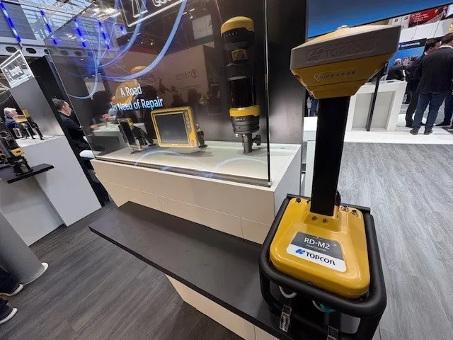
    Topcon Positioning System’s new RD-M2 laser scanner has been purpose-built for road resurfacing applications.

    The vehicle-mounted downward-facing RD-M2 delivers precise surface conditions over long and complex roads, which means no road closures are needed.  

    Millions of points are collected by the vehicle operator from safety of his or her cab.

    The 3D point data from the RD-M2 scanner serves as the basis for detailed road surface designs using the Topcon Office Suite.  

    These ground-truth surfaces are a part of the company’s SmoothRide system workflow.

  • Easy to use stringless concrete paving systems
    February 14, 2012
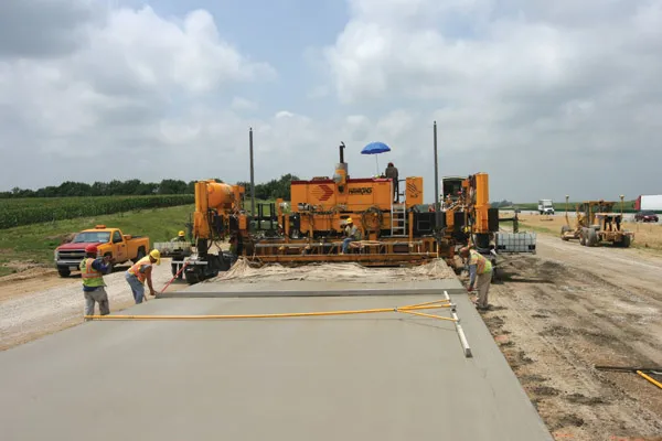
    Stringless concrete paving systems are easy to use for contractors - Daniel C Brown. With just a few days of training, Hawkins Construction is now up and running with stringless concrete paving technology. This year Hawkins started using the stringless technology on two Interstate highway paving projects, with a total contract value of US$78 million. The projects were on I-80 between Omaha and Lincoln, Nebraska and the first section was for a 9.25km, 18.3m wide stretch of 330mm thick concrete pavement.
  • Novel survey solution from Hexagon
    January 6, 2023
    Leica Geosystems, part of Hexagon, says that its Leica iCON gps 160 package is a next-generation construction Smart Antenna with features that increase productivity for stakeout and measurement applications on the jobsite.
  • Award-winning road and bridge design software
    March 20, 2012
    The integration of software tools, users and data was an important factor in a major highway project The giant High Five interchange in Texas, USA, emerged as a key winner in Bentley Systems' software awards this year. It won both the Innovation in Road and Bridge category and, significantly, Connecting Project Teams. The awards, a feature of the annual exhibition/conference organised by the software house, attract increasing interest from industry, and competition has become widespread, not least bec