Picture perfect imaging

Topcon has produced a new imaging station which, it claims, will dramatically increase productivity when used in two-man auto-tracking or single operator robotic modes. Using prism auto-tracking scanning interface technology the IS-3, when used with Topcon’s RC-4 remote control system, will track prisms up to 1,000m away.
June 26, 2012 Read time: 2 mins
342 Topcon has produced a new imaging station which, it claims, will dramatically increase productivity when used in two-man auto-tracking or single operator robotic modes.

Using prism auto-tracking scanning interface technology the IS-3, when used with Topcon’s RC-4 remote control system, will track prisms up to 1,000m away.

In addition, operators can use a long-range Wi-Fi WT-100 wireless device to control the IS-3 via live video feed from up to 300m away.

Topcon says the IS-3 can switch easily from a one-man robotic setup, to an on-board scanning and long-range reflector-less system, to a very user-comfortable remote laptop interface.

The company claims the IS-3 is at the forefront of imaging station technology by having two on-board cameras, one wide angle for full, overall site navigation, the other a true Through The Lens (TTL) imaging sensor.

The TTL technology, used in conjunction with 30x optical zoom, allows operators to view live video images either on board the IS-3 LCD display, or work remotely on a controller or PC connected to the imaging station via Wi-Fi, switching seamlessly and instantly between cameras

Additionally, the IS-3 has a new high-space Grid Scan feature that obtains 3D data by automatically scanning at a specific pitch within a specified area. Topcon says the use of ImageMaster software allows 3D models to be easily and quickly created from the data.

For more information on companies in this article

Related Content

  • Developments in site survey solutions
    February 9, 2012
    Trimble is widening its portfolio of Connected Site survey solutions for the field and office. These upgraded tools allow surveyors to collect, share and deliver data faster to improve accuracy, efficiency and productivity.
  • GPS machine control improves construction accuracy
    February 29, 2012
    The latest GPS systems will improve the accuracy of many construction operations. Mike Woof reports. The pace of technological advancement is fast in the GPS market. Despite a market downturn, the GPS solution providers continue to invest in research and development. And there is evidence to suggest that the contracting sector is more keen than ever to employ the latest technology because of the cost benefits this can bring.
  • Rigorous testing for high performance materials
    February 9, 2012
    Today’s highways require high performance materials, and this means rigorous testing as Patrick Smith reports Highways are under greater pressure than ever today and asphalts have to grant high performances in order to withstand traffic and meet the standards. Studying the plastic permanent deformations in hot mix asphalt (HMA) is very important to obtain useful information for mix designers as an appropriate mix design will reduce the formation of unevenness on road surface. To investigate the effect of mi
  • Smarter vision
    February 10, 2012
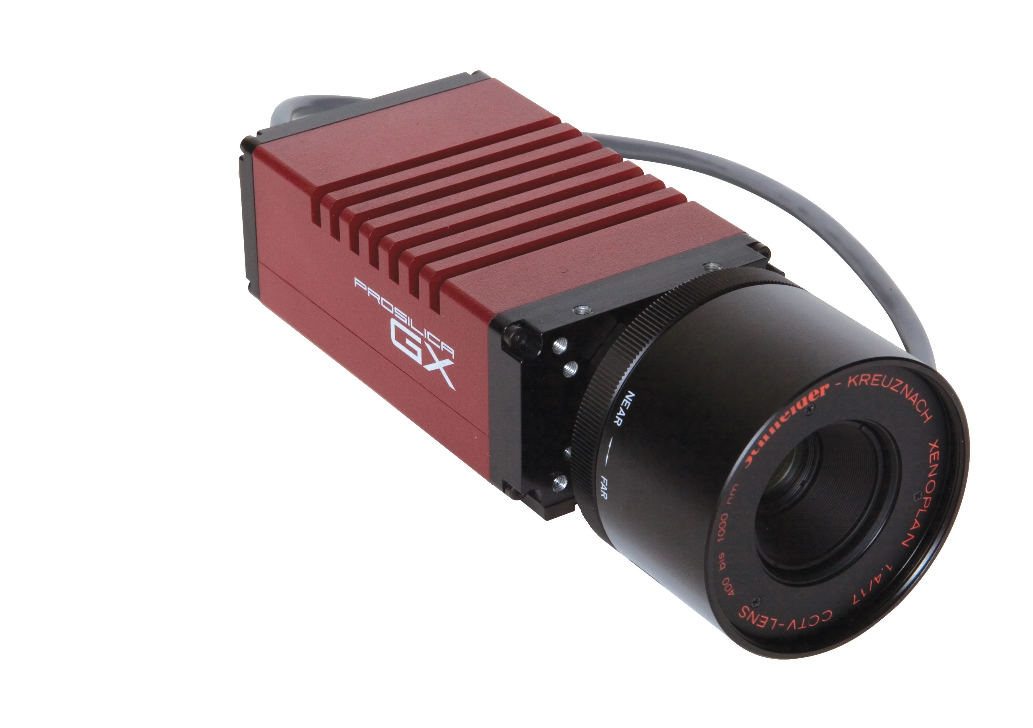
    Allied Vision Technologies says that its new Prosilica GX1920 HD camera offers a high resolution solution for traffic imaging applications.