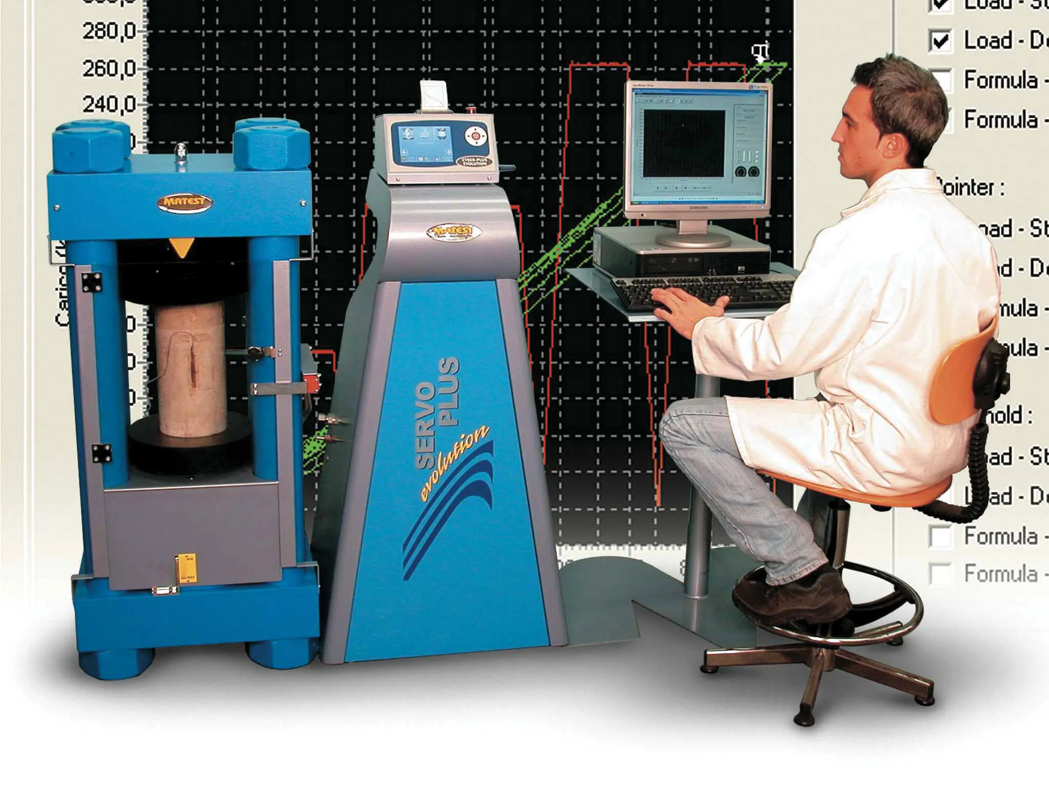
Accurate pavement profiling can be achieved with the new Selcom RoLine 1130 laser sensor from Canadian firm LMI Technologies. It uses laser line sensing for accurate profiling of all pavement geometries on high-speed profilers at any vehicle speed and the unit is said to suit pavement profiling of both concrete and asphalt surfaces on roads and bridges.

Accurate pavement profiling can be achieved with the new Selcom RoLine 1130 laser sensor from Canadian firm 3108 LMI Technologies. It uses laser line sensing for accurate profiling of all pavement geometries on high-speed profilers at any vehicle speed and the unit is said to suit pavement profiling of both concrete and asphalt surfaces on roads and bridges. Coarse textured surfaces such as longitudinal tined and diamond ground surfaces, can also be profiled according to the firm. The 1130 can increase the frame rates and provide higher data density to meet growing market requirements for high speed profilers that can carry out faster surveys of road surfaces and identify areas in need of maintenance.
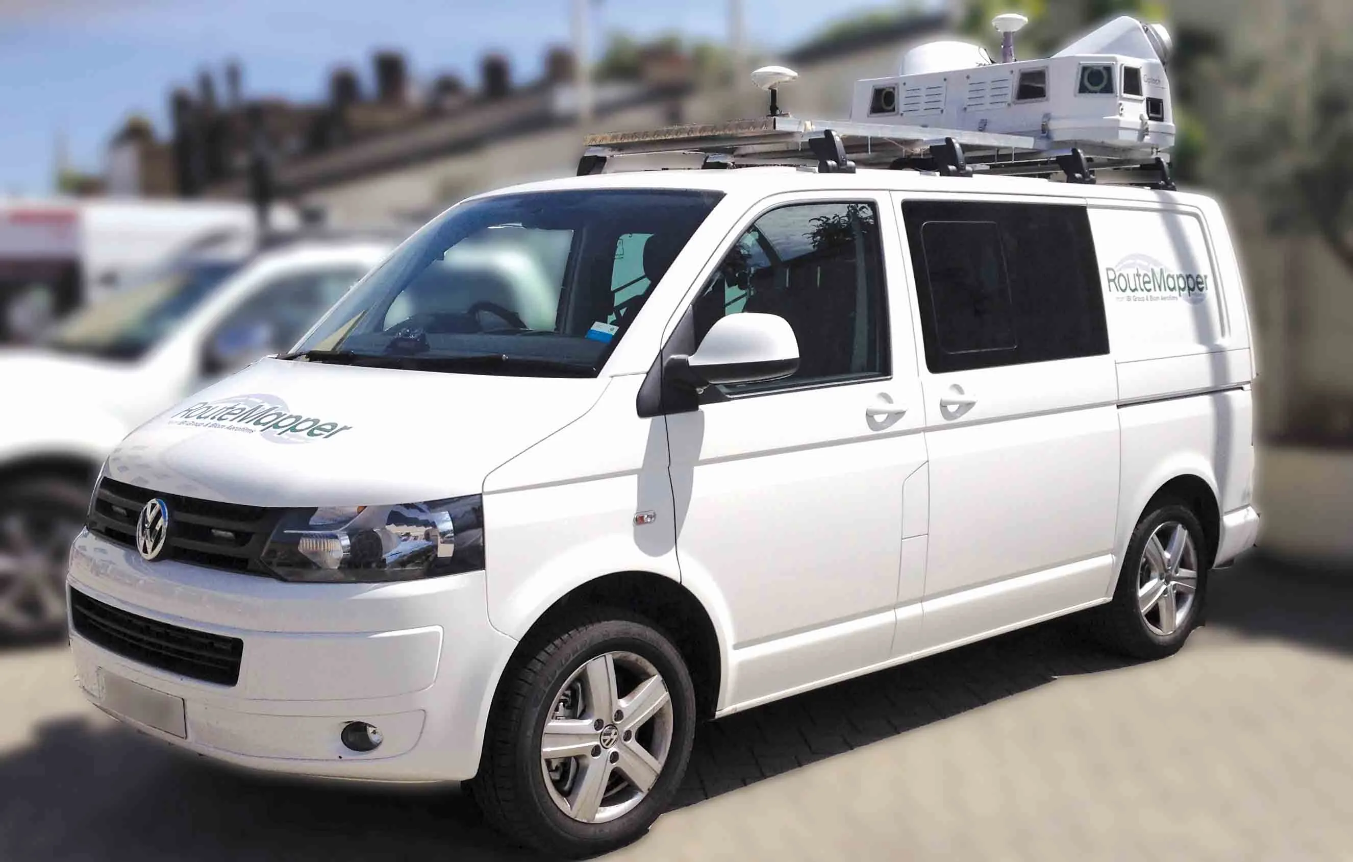
The system is based on the sensor technologies used in the earlier RoLine 1100 sensors but now provides higher frame rates and data density. To provide flexibility for the profiler manufacturer, the RoLine 1130 operates with two data output modes, either full profile data or the optional output using the internal bridging algorithm that reduces the full profile to a single point output that represents the actual surface location. To achieve high speed operation, the RoLine 1130 features LMI's modular and proven FireSync platform, which allows vision components, such as lighting, cameras, embedded sensor processors, and machine-vision software, to be integrated into the machine-vision system.
The system is based on the sensor technologies used in the earlier RoLine 1100 sensors but now provides higher frame rates and data density. To provide flexibility for the profiler manufacturer, the RoLine 1130 operates with two data output modes, either full profile data or the optional output using the internal bridging algorithm that reduces the full profile to a single point output that represents the actual surface location. To achieve high speed operation, the RoLine 1130 features LMI's modular and proven FireSync platform, which allows vision components, such as lighting, cameras, embedded sensor processors, and machine-vision software, to be integrated into the machine-vision system.