Not lost in translation – detecting BIM changes

A new package from 3D Repo offers effective real-time BIM change detection. This cloud-based change detection software can be used for 3D construction models to avert BIM issues from unregistered changes. This solution is said to provide a fast and reliable way to detect changes in underlying 3D models, using an encrypted web browser. The patent pending innovation operates on any 3D models, regardless of their file type, software used to produce them or file size. Called 3D Diff, the 3D Repo solution also a
May 22, 2018 Read time: 2 mins
A new package from 3D Repo offers effective real-time BIM change detection. This cloud-based change detection software can be used for 3D construction models to avert BIM issues from unregistered changes. This solution is said to provide a fast and reliable way to detect changes in underlying 3D models, using an encrypted web browser. The patent pending innovation operates on any 3D models, regardless of their file type, software used to produce them or file size. Called 3D Diff, the 3D Repo solution also allows users to share visualisations with project partners and stakeholders irrespective of location or time-zone.


The change detection algorithm allows users to mix and match models from different modelling tools and pipelines and still identify what has changed over time between revisions. This tool is important for design coordination stages, and also throughout construction when contractors introduce as-built models. It is important too for litigation to attribute who did what for legal liabilities and financial claims.

By comparing the actual geometry of a model rather than underlying, software specific object IDs or labels, 3D Diff can detect changes between models from different sources. A user can pass 3D models from PDMS to Navisworks as well as to 7981 Tekla due to project specific requirements. Without 3D Diff, there is no way of verifying what data has been lost in translation from one package to the next. 3D Diff runs in real time, regardless of the model file size, so even complex projects can be checked quickly.

The firm says that this fast, effective, software independent solution for change and clash detection requires no installation of desktop software. Data is encrypted and project privileges, such as view only or edit, can be assigned to individual project partners.

For more information on companies in this article

Related Content

  • Trimble’s vision of a far more efficient future
    July 5, 2021
    Trimble is offering a future with more efficient, optimised construction operations for faster project delivery
  • PTV’s novel traffic analysis system
    April 25, 2013
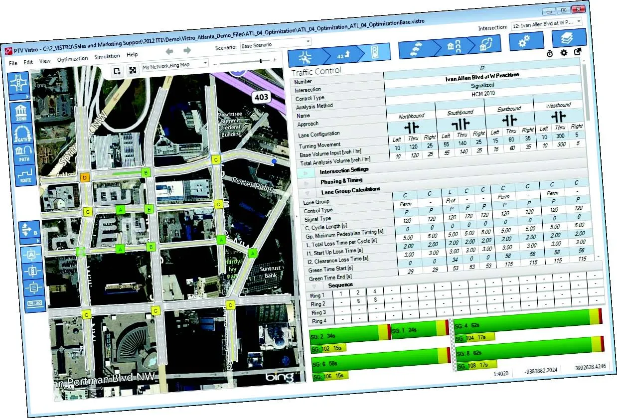
    German traffic analysis consultant and software maker PTV, which produces the well-known Visum and Vissim strategic traffic analysis and micro-simulation tools, has launched a new assessment tool aimed at studying traffic impact of new developments. PTV Vistro is claimed to be the first all-in­ one-solution for transport analysis and signal optimisation, an easy-to-use software that can be used to conduct traffic studies which are often a mandatory part of development applications and planning approvals.
  • Innovation in road design and management software
    February 17, 2012
    The emphasis on data processing and re-use, continues to grow in the development of design and management software. The interoperability of software, the need to handle and process larger amounts of data, and re-use and retention of data sets from one task to another have been a growing emphasis in the past few years. It allows infrastructure companies to get better value from expensively collected information and to focus more on the whole life cycle of projects.
  • Data handling for efficient machine control
    October 16, 2012
    The rapid increase in information availability is transforming the construction sector. Conventional methods used for sourcing geographic data based on maps and localised sampling meant that there was often a lack of accurate information relating to ground conditions at specific areas where work was planned, often resulting in unwelcome surprises for construction companies along with additional costs for projects.