Not lost in translation – detecting BIM changes

A new package from 3D Repo offers effective real-time BIM change detection. This cloud-based change detection software can be used for 3D construction models to avert BIM issues from unregistered changes. This solution is said to provide a fast and reliable way to detect changes in underlying 3D models, using an encrypted web browser. The patent pending innovation operates on any 3D models, regardless of their file type, software used to produce them or file size. Called 3D Diff, the 3D Repo solution also a
May 22, 2018 Read time: 2 mins
A new package from 3D Repo offers effective real-time BIM change detection. This cloud-based change detection software can be used for 3D construction models to avert BIM issues from unregistered changes. This solution is said to provide a fast and reliable way to detect changes in underlying 3D models, using an encrypted web browser. The patent pending innovation operates on any 3D models, regardless of their file type, software used to produce them or file size. Called 3D Diff, the 3D Repo solution also allows users to share visualisations with project partners and stakeholders irrespective of location or time-zone.


The change detection algorithm allows users to mix and match models from different modelling tools and pipelines and still identify what has changed over time between revisions. This tool is important for design coordination stages, and also throughout construction when contractors introduce as-built models. It is important too for litigation to attribute who did what for legal liabilities and financial claims.

By comparing the actual geometry of a model rather than underlying, software specific object IDs or labels, 3D Diff can detect changes between models from different sources. A user can pass 3D models from PDMS to Navisworks as well as to 7981 Tekla due to project specific requirements. Without 3D Diff, there is no way of verifying what data has been lost in translation from one package to the next. 3D Diff runs in real time, regardless of the model file size, so even complex projects can be checked quickly.

The firm says that this fast, effective, software independent solution for change and clash detection requires no installation of desktop software. Data is encrypted and project privileges, such as view only or edit, can be assigned to individual project partners.

For more information on companies in this article

Related Content

  • Improving workflows with Softree
    July 26, 2023
    Softree Technical Systems says that its new RoadEng Civil Engineer software focuses on simplifying workflows and improving visualisation.
  • Automatic control
    February 7, 2012
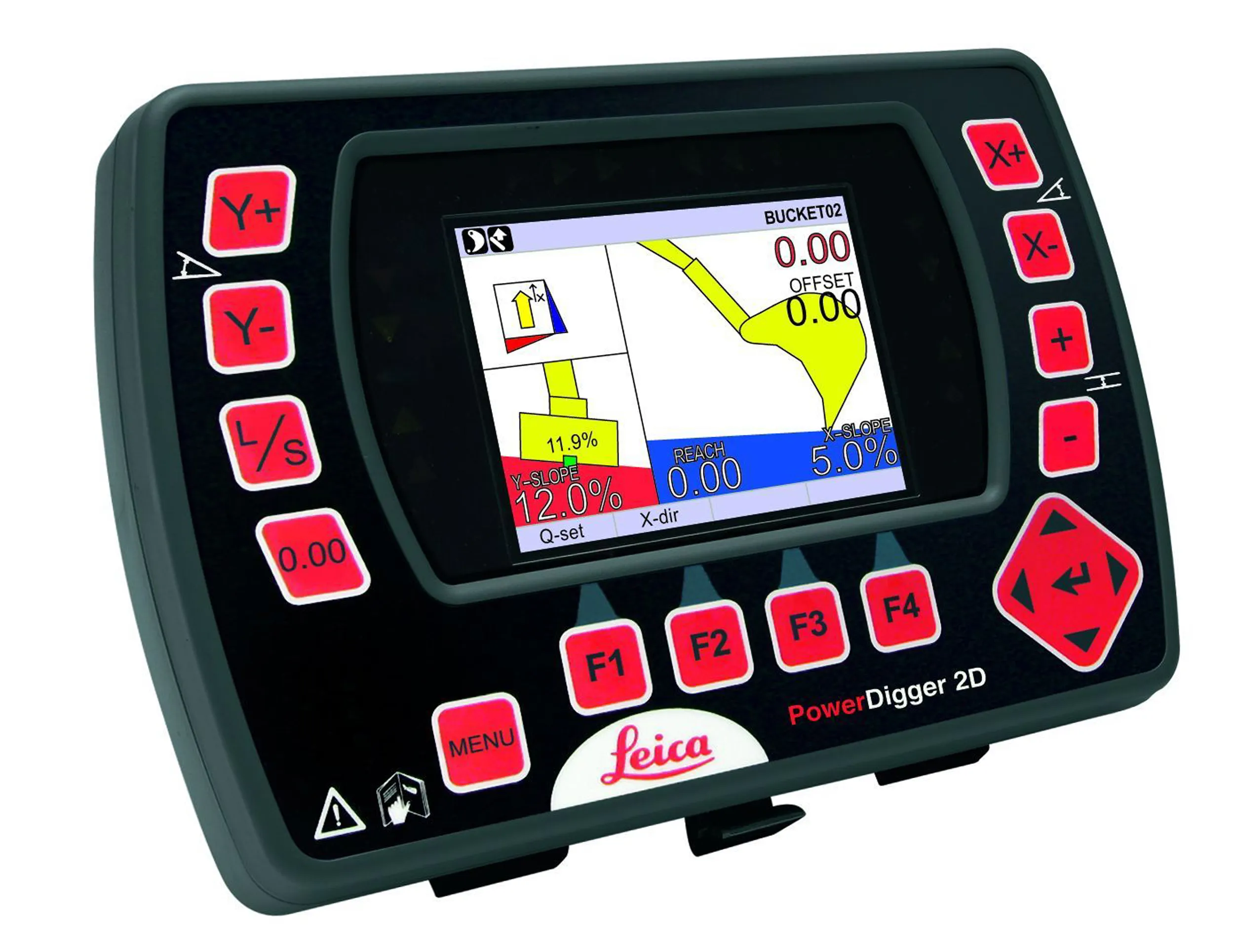
    Leica Geosystems says that sophisticated PowerDigger 2D guidance system for excavators offers automatic slope control. The system expands on its PowerSnap technology and is said to make excavating easier and more productive. The system uses a standard panel whether fitted to a dozer, excavator or grader, which is also said to save money on training and equipment, as well as reducing down time. Leica PowerDigger 2D system allows multiple elevations and slopes to be constructed at any orientation, witho
  • Supergeo offers GIS training tool
    April 27, 2015
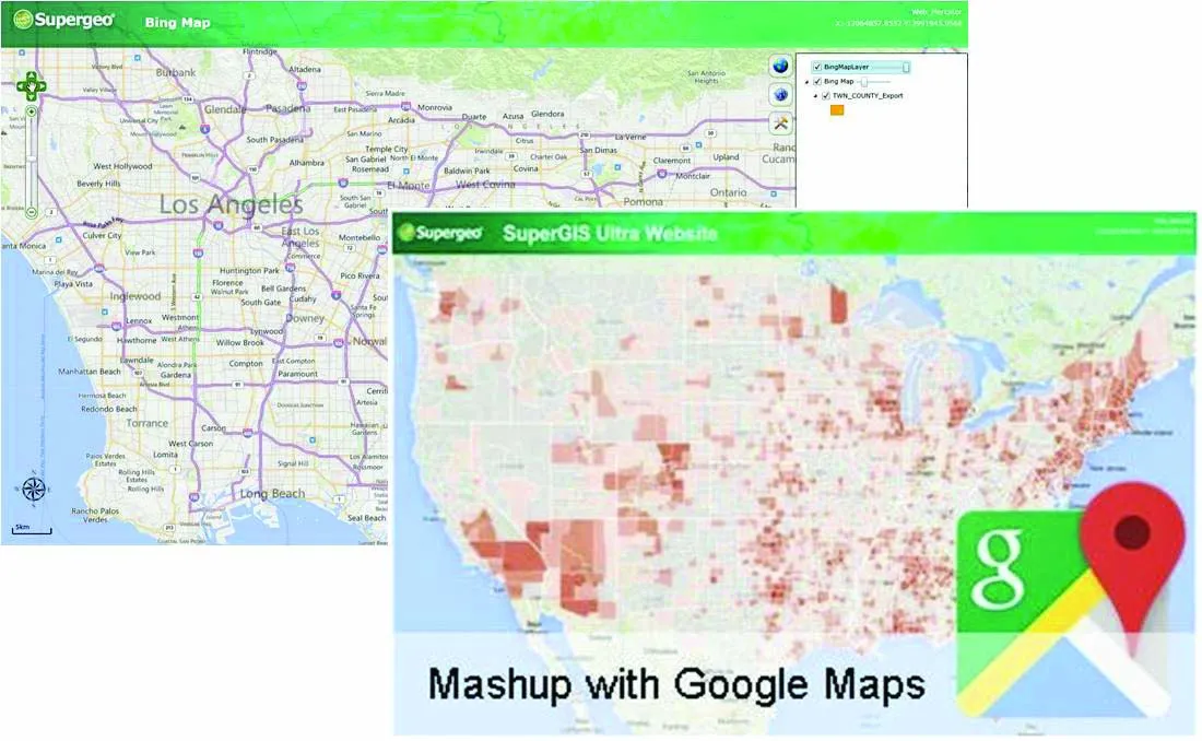
    Supergeo Technologies says that its latest packages offer effective training for both GIS users and non-GIS professionals, as well as new tools for sharing geospatial data. The training offering comes in the shape of free online courses with extensive learning materials. The firm says that it is a leader in the field with its state-of-the-art GIS technology and is able to assist personnel from various industries to address different tasks with spatial information. A comprehensive series of online course
  • 1Spatial works with Arizona to visualise road changes
    March 8, 2017
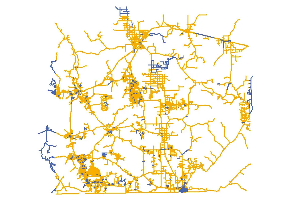
    The department of transportation in the US state of Arizona has automated its data processes, says Duncan Guthrie. In Arizona, the Department of Transportation (ADOT) is improving the way it responds to the demand for information from the Federal Highways Administration (FHWA). ADOT is implementing an automated, repeatable process to simplify and smooth the creation and maintenance of their state-wide dataset. This will meet reporting requirements for ARNOLD - All Road Network Of Linear Referenced Data - an