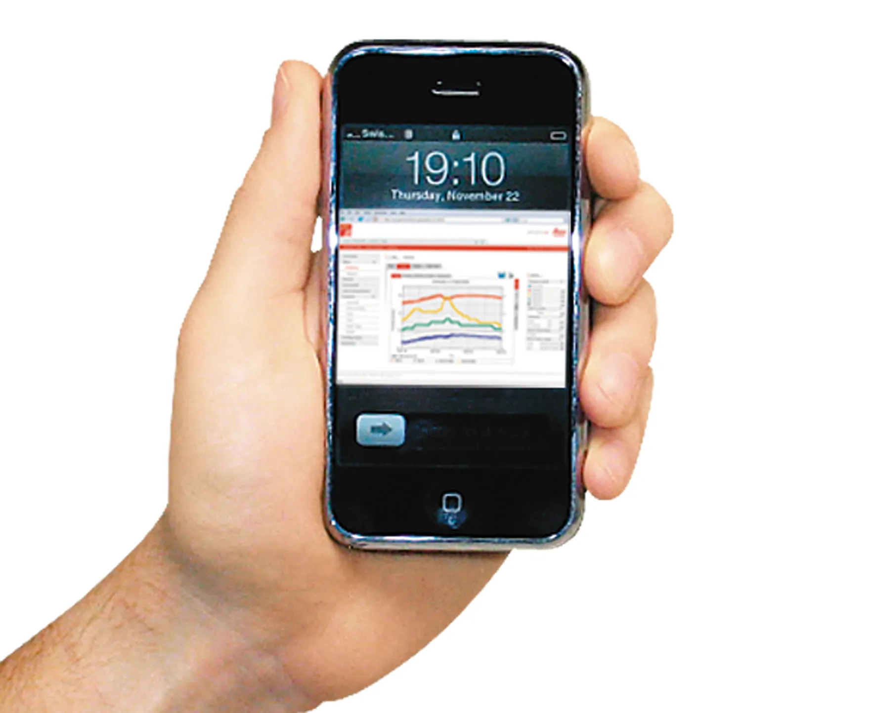
Software specialist SoundPLAN is now offering the latest version of its sophisticated noise-mapping package worldwide.
The 4.0 package has been trialled in Germany and can be used to calculate the noise emissions from roads and other infrastructure such as railways. The package is said to be designed for users who only have an occasional requirement for a noise map. The firm says that the software can be used to deliver reliable tabular and graphical results for a standard noise calculation while requir

Software specialist 334 SoundPLAN is now offering the latest version of its sophisticated noise-mapping package worldwide.
The 4.0 package has been trialled in Germany and can be used to calculate the noise emissions from roads and other infrastructure such as railways. The package is said to be designed for users who only have an occasional requirement for a noise map. The firm says that the software can be used to deliver reliable tabular and graphical results for a standard noise calculation while requiring very little time to use.
SoundPLANessential version 4.0 introduced a new rail standard for noise predictions (Schall 03-2012). The improvements in the new version include better positioning of receiver points and enhanced manipulation of objects within the maps, along with better use of colours for clarity and a new display option of geometry bitmaps in a 3D view.