New tablet solution for Leica Geosystems

Leica Geosystems is now using the rugged ZX70 Android tablet from Getac as the hardware for its new Leica Zeno GG04 plus Tablet Solution. The new partnership allows Leica Geosystems to bring geospatial data collection capabilities to customers in all terrains and weather conditions such as utilities, public services, transportation and construction. Leica Geosystems has developed a range of new software and hardware including its Zeno Mobile data collection app and Zeno GG04 plus smart antenna to capture a
December 12, 2018 Read time: 2 mins
Leica Geosystems now offers the Getac tablet as a tool for site use

265 Leica Geosystems is now using the rugged ZX70 Android tablet from Getac as the hardware for its new Leica Zeno GG04 plus Tablet Solution. The new partnership allows Leica Geosystems to bring geospatial data collection capabilities to customers in all terrains and weather conditions such as utilities, public services, transportation and construction.

Leica Geosystems has developed a range of new software and hardware including its Zeno Mobile data collection app and Zeno GG04 plus smart antenna to capture accurate geospatial data in the field. Combining these innovative products with Getac’s fully rugged ZX70 Android tablet, Leica Geosystems offers a solution with measurement accuracy, connectivity and durability in a single package.

Said to be compact and powerful, the Getac ZX70 fully rugged Android tablet is easy to hold and comfortable to use with just one hand, making it ideal for demanding field surveying work. The Android operating system supports Leica’s Zeno Mobile software, allowing for GNSS position data to be used in the field. The system can also collect data in the field. Additional key features include the IPS display. The Getac ZX70’s integrated 4G modem can transmit large data files quickly and easily, even from remote locations. The data connection also allows users to effectively utilise Hexagon Geosystems’ HxGN SmartNet  correction service, enabling accurate GNSS measurement to within one centimetre.

For more information on companies in this article

Related Content

  • Free modeling: Improving efficiency in construction- site management
    July 24, 2025
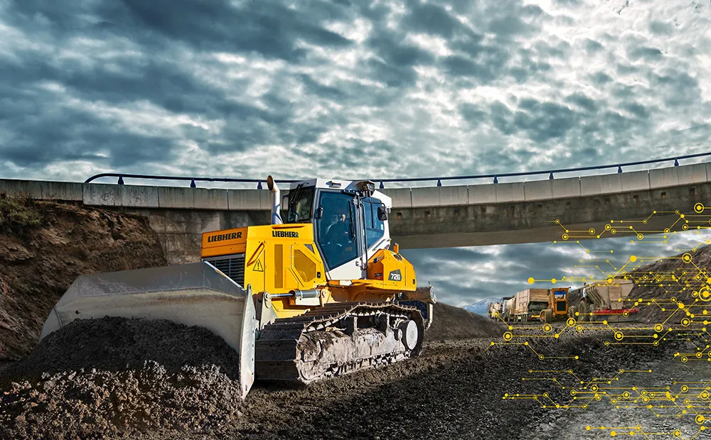
    Liebherr’s innovative Free Modeling technology enables road-construction operators to create and modify simple 3D site models directly from their machinery, enhancing real-time decision-making.
  • Trimble technology centre stage at CONEXPO-CON/AGG 2014
    March 27, 2014
    The Trimble Quantm alignment planning system, on show at CONEXPO/CON-AGG 2014, allows road designers to cut planning time and deliver projects with little environmental and social impact at a reduced cost. The system analyses millions of alignment alternatives and returns a range of options to the planning team for consideration. When new data becomes available the Quantm system can quickly recalculate more alignment options.
  • A winter wonderland for Vaisala’s MD30 sensor
    November 18, 2019
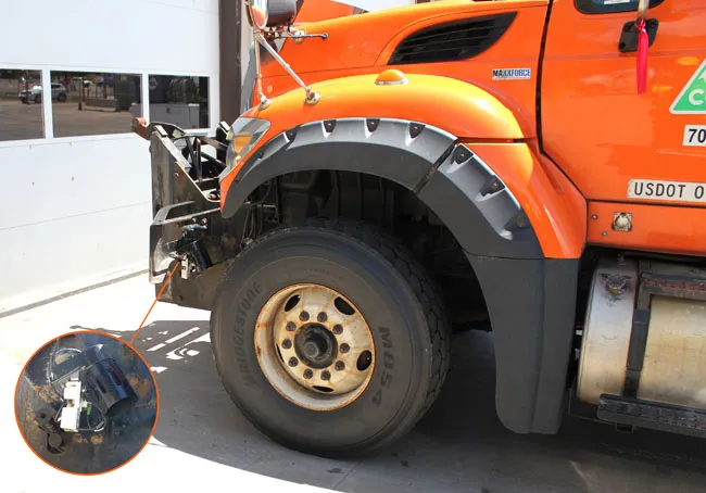
    Accurately measuring road network conditions in real time requires rugged and durable mobile sensor technology, writes Rose Parisi* Monitoring road conditions is critical to performing efficient and effective maintenance that reduces risks posed by hazardous driving conditions. This is most critical during winter. Road weather information systems (RWIS) help support road maintenance decision-making through the measurement of atmosphere and pavement conditions. However, due to the static location and
  • Accurate grading for Caterpillar using Leica Geosystems technology
    October 2, 2023
    Accurate grading is possible for Caterpillar machines using Leica Geosystems technology.