New tablet solution for Leica Geosystems

Leica Geosystems is now using the rugged ZX70 Android tablet from Getac as the hardware for its new Leica Zeno GG04 plus Tablet Solution. The new partnership allows Leica Geosystems to bring geospatial data collection capabilities to customers in all terrains and weather conditions such as utilities, public services, transportation and construction. Leica Geosystems has developed a range of new software and hardware including its Zeno Mobile data collection app and Zeno GG04 plus smart antenna to capture a
December 12, 2018 Read time: 2 mins
Leica Geosystems now offers the Getac tablet as a tool for site use

265 Leica Geosystems is now using the rugged ZX70 Android tablet from Getac as the hardware for its new Leica Zeno GG04 plus Tablet Solution. The new partnership allows Leica Geosystems to bring geospatial data collection capabilities to customers in all terrains and weather conditions such as utilities, public services, transportation and construction.

Leica Geosystems has developed a range of new software and hardware including its Zeno Mobile data collection app and Zeno GG04 plus smart antenna to capture accurate geospatial data in the field. Combining these innovative products with Getac’s fully rugged ZX70 Android tablet, Leica Geosystems offers a solution with measurement accuracy, connectivity and durability in a single package.

Said to be compact and powerful, the Getac ZX70 fully rugged Android tablet is easy to hold and comfortable to use with just one hand, making it ideal for demanding field surveying work. The Android operating system supports Leica’s Zeno Mobile software, allowing for GNSS position data to be used in the field. The system can also collect data in the field. Additional key features include the IPS display. The Getac ZX70’s integrated 4G modem can transmit large data files quickly and easily, even from remote locations. The data connection also allows users to effectively utilise Hexagon Geosystems’ HxGN SmartNet  correction service, enabling accurate GNSS measurement to within one centimetre.

For more information on companies in this article

Related Content

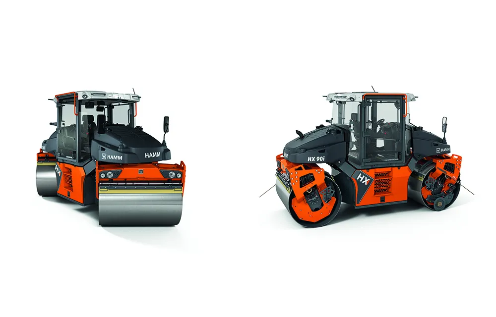
  • Hamm | HX series – The new flagship
    February 1, 2025
    Pivot-steered tandem rollers: Sustainable, intelligent and digitally supported
  • Sandvik’s Chinese renewal with new distribution
    November 21, 2018
    Sandvik Mobile Crushers & Screens now has a strong presence in China through its new mainland China distributor, Pota Environment (Shanghai). The firm’s novel QI441 Prisec impactor is said to offer unparalleled control, flexibility and productivity as a primary or secondary crusher for recycling and quarrying customers. The machine benefits from the patented Prisec crushing chamber, which has been designed by Sandvik to enable the base crusher to be easily switched between primary and secondary mode. This
  • VMS control gets easier with BartcoLive
    January 9, 2019
    Traffic managers can control their variable message signs with greater flexibility and speed thanks to an app from Bartco UK and its sister company MVIS. BartcoLive enables users of Bartco UK VMS to create messages remotely via Apple and Android smartphones, tablets and laptops, accessing the chief sign-management operating platform, Web Studio. In addition to message creation, BartcoLive offers secure login, a searchable list of assets, details regarding the status of each asset as well as its location o
  • Topcon unveils Hybrid Robotic System
    January 21, 2014
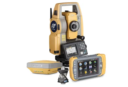
    Topcon Positioning Group has unveiled its Hybrid Robotic System, featuring the new DS series robotic total station and the recently announced MAGNET v2.0 software suite, a Topcon enterprise solution for the geomatics industry. Other Topcon components in the cutting-edge HRS include the economical HiPer SR GNSS receiver and Tesla large-screen tablet controller. The new system combines GNSS positioning and robotic measurements with an automated data workflow to provide added versatility and efficiency for