New tablet solution for Leica Geosystems

Leica Geosystems is now using the rugged ZX70 Android tablet from Getac as the hardware for its new Leica Zeno GG04 plus Tablet Solution. The new partnership allows Leica Geosystems to bring geospatial data collection capabilities to customers in all terrains and weather conditions such as utilities, public services, transportation and construction. Leica Geosystems has developed a range of new software and hardware including its Zeno Mobile data collection app and Zeno GG04 plus smart antenna to capture a
December 12, 2018 Read time: 2 mins
Leica Geosystems now offers the Getac tablet as a tool for site use

265 Leica Geosystems is now using the rugged ZX70 Android tablet from Getac as the hardware for its new Leica Zeno GG04 plus Tablet Solution. The new partnership allows Leica Geosystems to bring geospatial data collection capabilities to customers in all terrains and weather conditions such as utilities, public services, transportation and construction.

Leica Geosystems has developed a range of new software and hardware including its Zeno Mobile data collection app and Zeno GG04 plus smart antenna to capture accurate geospatial data in the field. Combining these innovative products with Getac’s fully rugged ZX70 Android tablet, Leica Geosystems offers a solution with measurement accuracy, connectivity and durability in a single package.

Said to be compact and powerful, the Getac ZX70 fully rugged Android tablet is easy to hold and comfortable to use with just one hand, making it ideal for demanding field surveying work. The Android operating system supports Leica’s Zeno Mobile software, allowing for GNSS position data to be used in the field. The system can also collect data in the field. Additional key features include the IPS display. The Getac ZX70’s integrated 4G modem can transmit large data files quickly and easily, even from remote locations. The data connection also allows users to effectively utilise Hexagon Geosystems’ HxGN SmartNet  correction service, enabling accurate GNSS measurement to within one centimetre.

For more information on companies in this article

Related Content

  • Leica Geosystems ICON GPS
    January 25, 2018

    It’s Day 4 at Intermat Paris 2018 and Leica Geosystems is leading the way with an easy-to-use GNSS smart antenna Tilt Rover that allows users to measure accurately without the need to hold the pole at vertical …

  • Rugged controller for site use
    June 25, 2021
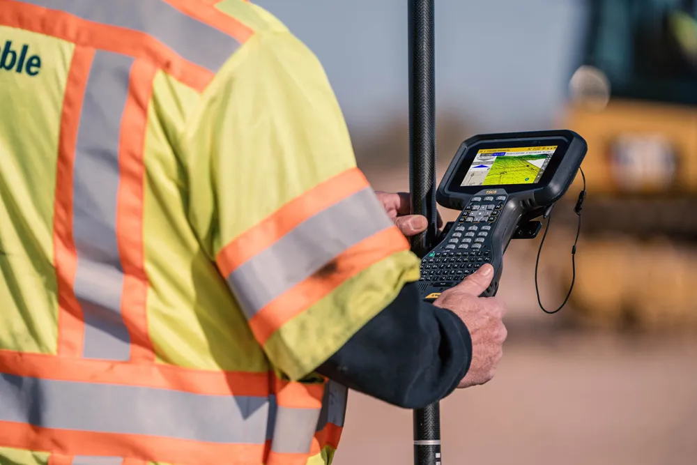
    Trimble is now offering its TSC5 Controller, a rugged and lightweight field controller for civil construction surveyors.
  • No strings attached: a Wirtgen SP 15i in Mobile
    May 9, 2019
    A Wirtgen slipform paver SP 15i operated fully automatically to produce kerbs near Mobile, in the US state of Alabama, as the company explains. When a new residential area is developed, the individual contract work sections are often very detailed. Roads and paths have to be paved and access roads to the individual plots constructed. Various traffic areas are often separated by concrete structures such as kerbs. These kerbs can be either pre-cast parts or monolithic profiles produced right on the job sit
  • Improved excavator safety with Leica Geosystems
    May 2, 2022
    Leica Geosystems says that it can offer increased safety for excavator operators through its partnership with Xwatch Safety Solutions.