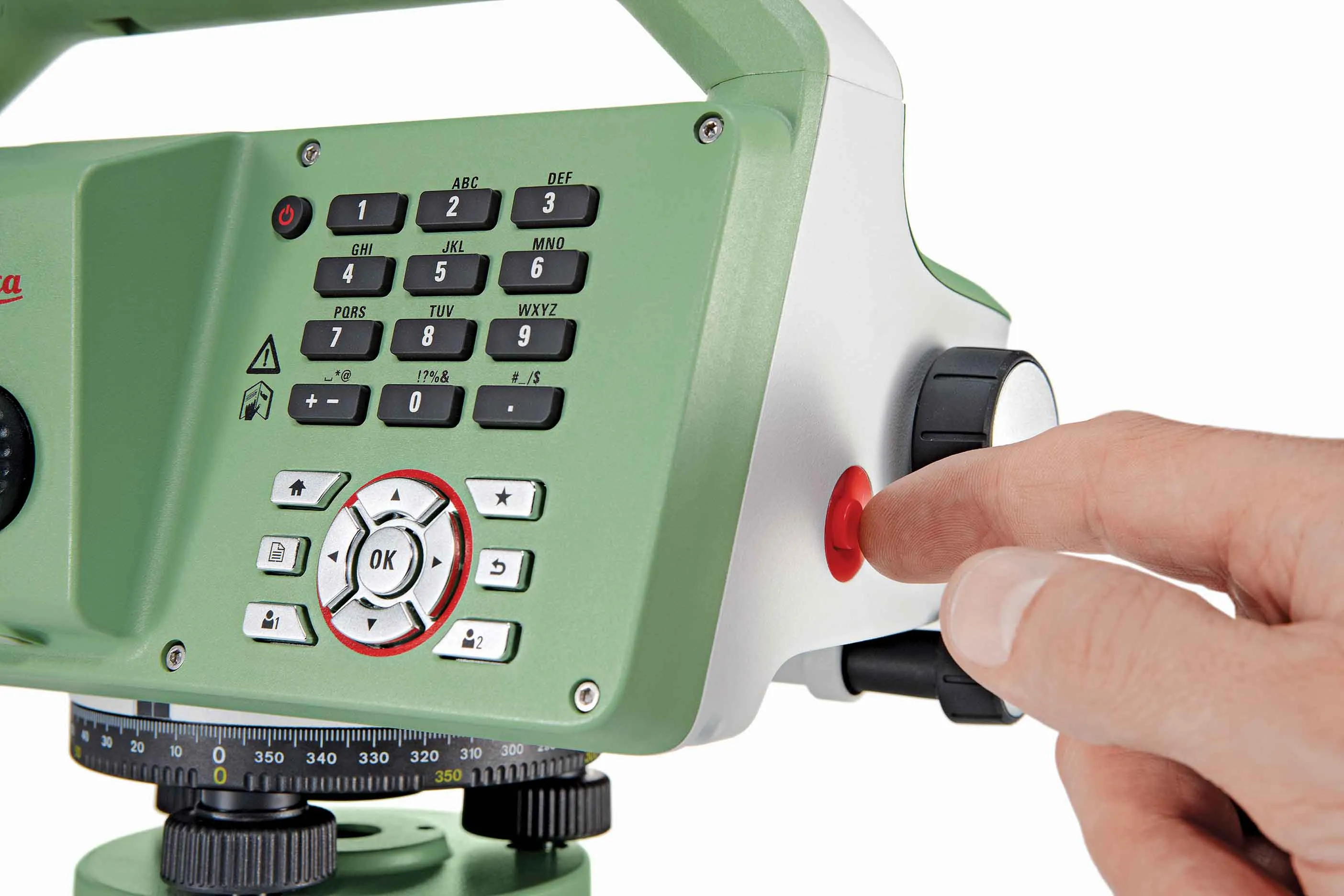
New tablet solution for Leica Geosystems

Leica Geosystems is now using the rugged ZX70 Android tablet from Getac as the hardware for its new Leica Zeno GG04 plus Tablet Solution. The new partnership allows Leica Geosystems to bring geospatial data collection capabilities to customers in all terrains and weather conditions such as utilities, public services, transportation and construction. Leica Geosystems has developed a range of new software and hardware including its Zeno Mobile data collection app and Zeno GG04 plus smart antenna to capture a
December 12, 2018 Read time: 2 mins
Leica Geosystems now offers the Getac tablet as a tool for site use

265 Leica Geosystems is now using the rugged ZX70 Android tablet from Getac as the hardware for its new Leica Zeno GG04 plus Tablet Solution. The new partnership allows Leica Geosystems to bring geospatial data collection capabilities to customers in all terrains and weather conditions such as utilities, public services, transportation and construction.

Leica Geosystems has developed a range of new software and hardware including its Zeno Mobile data collection app and Zeno GG04 plus smart antenna to capture accurate geospatial data in the field. Combining these innovative products with Getac’s fully rugged ZX70 Android tablet, Leica Geosystems offers a solution with measurement accuracy, connectivity and durability in a single package.

Said to be compact and powerful, the Getac ZX70 fully rugged Android tablet is easy to hold and comfortable to use with just one hand, making it ideal for demanding field surveying work. The Android operating system supports Leica’s Zeno Mobile software, allowing for GNSS position data to be used in the field. The system can also collect data in the field. Additional key features include the IPS display. The Getac ZX70’s integrated 4G modem can transmit large data files quickly and easily, even from remote locations. The data connection also allows users to effectively utilise Hexagon Geosystems’ HxGN SmartNet  correction service, enabling accurate GNSS measurement to within one centimetre.

For more information on companies in this article

Related Content

  • Topcon offering new solutions
    February 8, 2016
    Topcon Positioning is broadening its solutions to the construction sector with a combination of partnerships and acquisitions. The firm has acquired a significant share of Finnish design software specialist Viasys VDC, adding to its portfolio of (BIM) technologies. This firm offers a comprehensive suite of tools and services for building Virtual Design and Construction (VDC) models for infrastructure and site-work projects. The VDC models from Viasys can be used to optimise the construction process through
  • Topcon offering new solutions
    January 6, 2017
    Topcon Positioning is broadening its solutions to the construction sector with a combination of partnerships and acquisitions. The firm has acquired a significant share of Finnish design software specialist Viasys VDC, adding to its portfolio of (BIM) technologies. This firm offers a comprehensive suite of tools and services for building Virtual Design and Construction (VDC) models for infrastructure and site-work projects. The VDC models from Viasys can be used to optimise the construction process through
  • HxGN Live 2014: Hexagon CEO lays out firm’s machine control vision
    June 5, 2014
    Hexagon CEO and president Ola Rollén has outlined the company and its global brand network’s vision for the future of mining and construction machine control. Speaking during a Hexagon media luncheon Q&A during the four-day HxGN Live 2014 conference being staged at the MGM Grand Hotel in Las Vegas, Rollén emphasised the strength of Hexagon’s Mining Division which currently consists of Leica Geosystems surveying equipment; SAFEmine mine safety and collision avoidance systems; Devex and Leica Geosystems Minin
  • Faster surveying with Leica Geosystems
    June 16, 2016
    Leica Geosystems says that the new LS15 tool can be used to complete all the key stages for levelling. The system has a high accuracy of 0.2mm, which can be achieved by aiming at the target via the colour touch display and pressing the measuring button. Key working features include an electronic bubble and tilt checks prior to each measurement and autofocus. These are said to help to reduce fatigue over a shift and help minimise the risk of working errors, ensuring consistently high accuracy of measureme