New surveying tool from Topcon

Topcon Positioning Group is introducing its top-of-the-range GT Series robotic total stations for survey, construction, and machine control applications.
January 12, 2021 Read time: 2 mins
Sophisticated surveying technology package from Topcon

The GT-1200 and GT-600 total stations are offered in multiple accuracy levels and form part of a full workflow solution, including a new field computer, an update to Topcon field and office software, as well as GNSS receivers. The system is designed to work in sync for improved performance and better data handling with built-in, field-to-office connectivity.

The new total stations perform at a faster 10Hz positioning update rate. Combining the GT Series with the new field computer and software improvements, this system is said to make layout easier, and guidance more fluid, within an intuitive map view according to Topcon. This package also allows more layout and survey points to be collected in less time.

Advanced UltraTrac prism tracking combines optical sensing with a new ultrasonic motor control algorithm designed to maintain superior prism-lock. From a software perspective, MAGNET improves field-based quality reporting and data handling for larger files, graphical processing, and 3D models.

An optional upgrade incorporating Hybrid Positioning technology helps advanced users get instant location updates via GNSS receivers so positioning data points can be captured, even with the loss of line of sight from jobsite obstructions.

The GT Series workflow solution, MAGNET software, FC-6000 field computer, and HiPer Series GNSS receivers, combines for digital processes designed to increase precision, reduce rework, and improve quality control.  

For more information on companies in this article

Related Content

  • Data accuracy
    February 13, 2012
    Sokkia is introducing the versatile GRX1 system, which includes a fully scalable GNSS receiver, new SHC250 data collector and improved software. The GRX1 GNSS receiver features an integrated antenna, digital UHF radio, GSM module, Bluetooth module and detachable battery. This comes in a compact, rugged, magnesium-alloy body and has fully upgradeable features that allow users to start with an entry model for L1 GPS. This can be upgraded to L1 GPS+GLONASS, to L1/L2 GPS, up to 72-channel L1/L2 GPS+GLONASS rece
  • Construction adapting with Machine control Technologies
    June 18, 2015
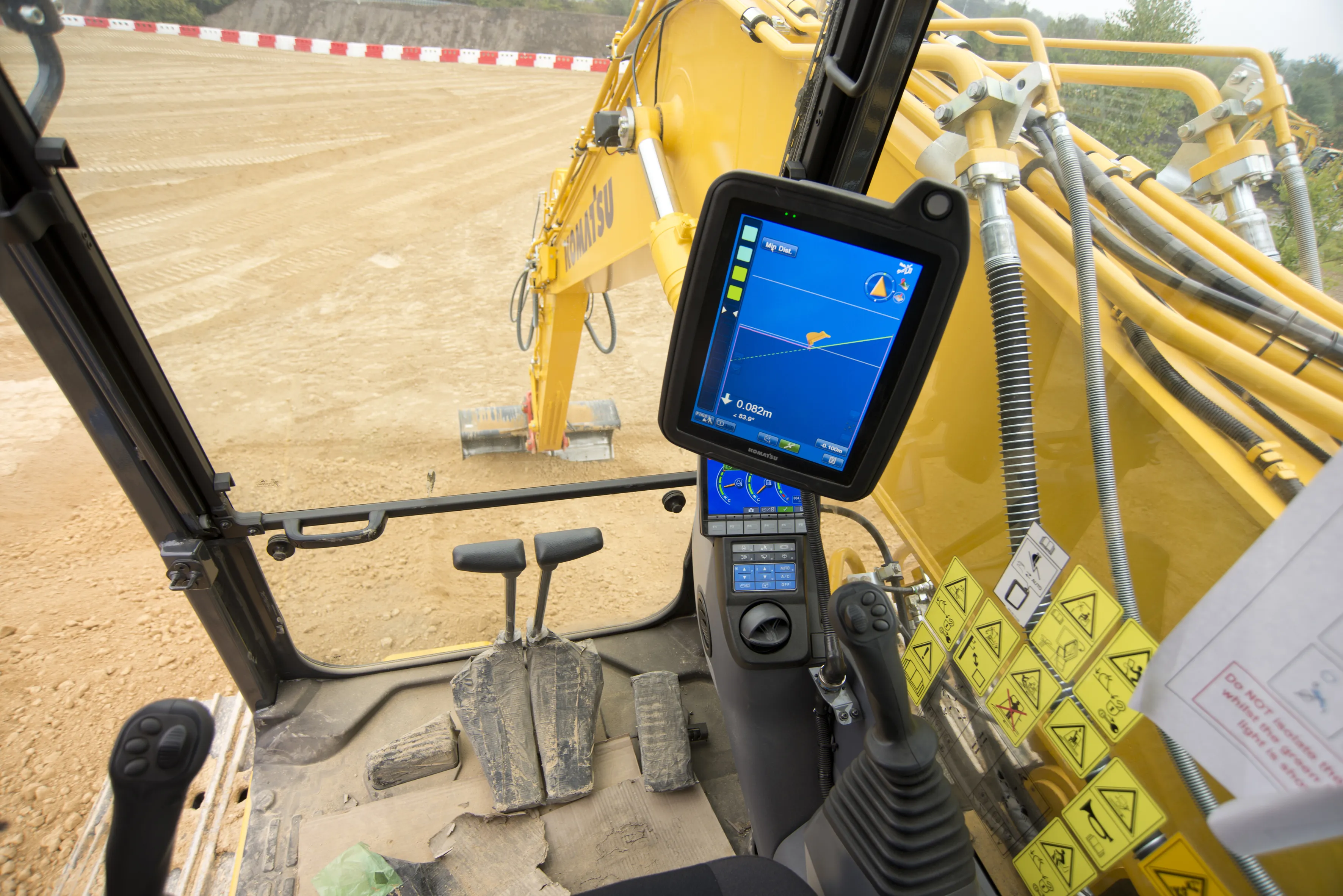
    Machine control technologies are revolutionising construction – Dan Gilkes writes Electronic control of engines, transmissions and hydraulic systems, primarily to reduce exhaust emissions and boost productivity, is also providing manufacturers with an opportunity to incorporate increasingly complex machine control into their equipment. This in turn has the potential to make the machinery more productive, further cutting fuel consumption as part of a virtuous operational circle.
  • Foth Uses Collaborative Digital Engineering to Deliver Road Infrastructure Project
    June 1, 2020
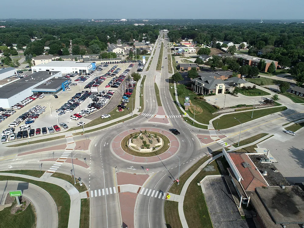
    Foth utilised software from Bentley Systems to improve safety and traffic flow on an urban road stretch in Iowa.
  • 3D PAVING comes to India and is boosting slipforming efficiency
    December 19, 2016
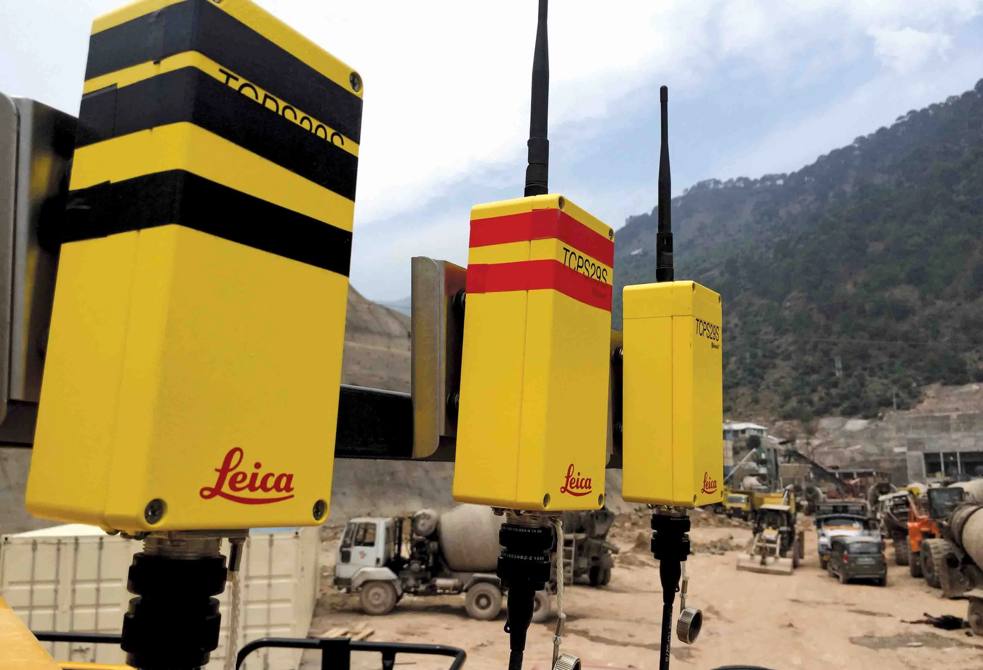
    Situated on India’s northern frontier, the state of Jammu and Kashmir is world-renowned for its aesthetic vistas and captivating landscapes. The arterial roads connecting the city of Jammu to that of Srinagar is a challenge to maintain, being constantly exposed to harsh weather and overburdened with vehicular movement. Leica Geosystems has been involved in the Chenani-Nashri tunnel project, India’s longest road tunnel and which will be part of an alternate route in the region