New surveying tool from Topcon

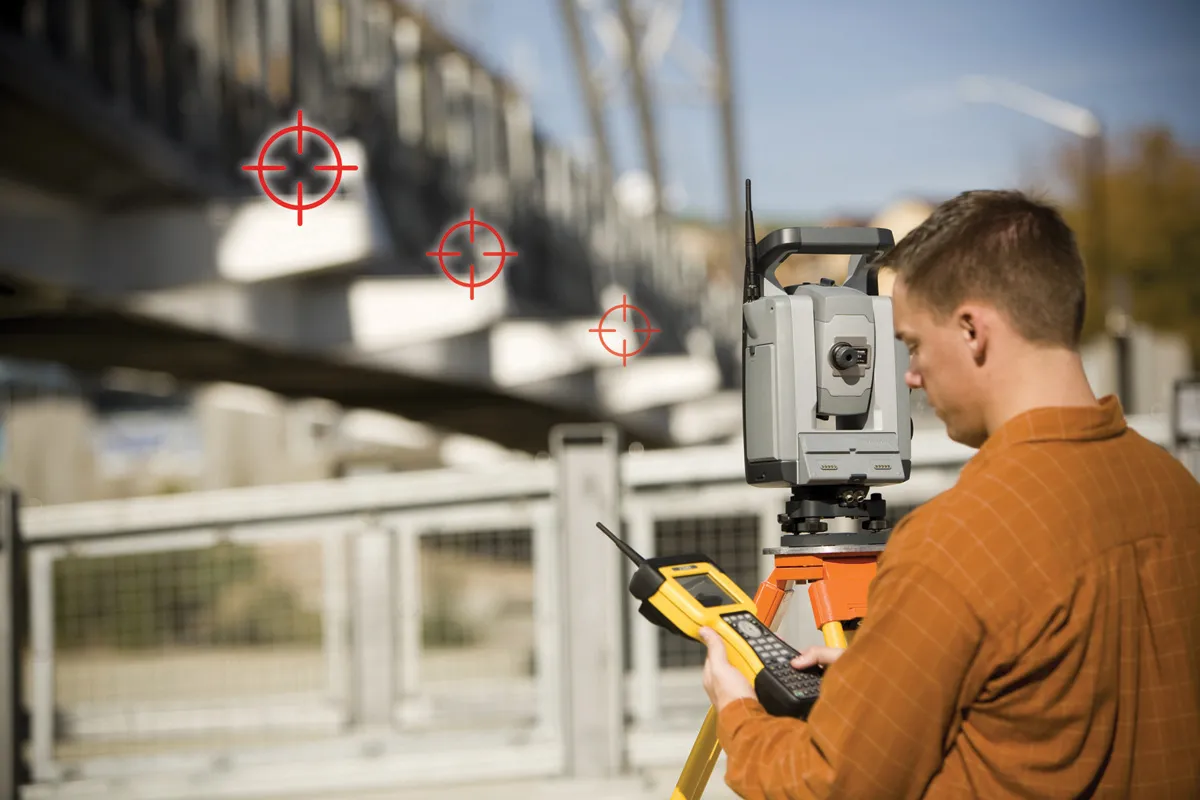
Topcon Positioning Group is introducing its top-of-the-range GT Series robotic total stations for survey, construction, and machine control applications.
January 12, 2021 Read time: 2 mins
Sophisticated surveying technology package from Topcon

The GT-1200 and GT-600 total stations are offered in multiple accuracy levels and form part of a full workflow solution, including a new field computer, an update to Topcon field and office software, as well as GNSS receivers. The system is designed to work in sync for improved performance and better data handling with built-in, field-to-office connectivity.

The new total stations perform at a faster 10Hz positioning update rate. Combining the GT Series with the new field computer and software improvements, this system is said to make layout easier, and guidance more fluid, within an intuitive map view according to Topcon. This package also allows more layout and survey points to be collected in less time.

Advanced UltraTrac prism tracking combines optical sensing with a new ultrasonic motor control algorithm designed to maintain superior prism-lock. From a software perspective, MAGNET improves field-based quality reporting and data handling for larger files, graphical processing, and 3D models.

An optional upgrade incorporating Hybrid Positioning technology helps advanced users get instant location updates via GNSS receivers so positioning data points can be captured, even with the loss of line of sight from jobsite obstructions.

The GT Series workflow solution, MAGNET software, FC-6000 field computer, and HiPer Series GNSS receivers, combines for digital processes designed to increase precision, reduce rework, and improve quality control.  

For more information on companies in this article

Related Content

  • Innovative control system for concrete pavers
    February 14, 2012
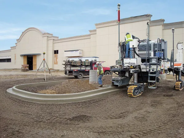
    Wirtgen has developed a novel control system for use on its concrete paving equipment. Matthias Fritz is the product engineer at Wirtgen tasked with developing the system. The new AutoControlpackage uses GPS technology to provide guidance for the machine's steering functions. Fritz added, "It has an augmentation centre for vertical control because it requires millimetre accuracy for height." This 3D control system is for use with the firm's SP15 and SP25 slipform pavers and is said to be a user-friendly, co
  • Leica Captivate Experience works with fifth generation of ATRplus
    August 17, 2015
    Leica Geosystems says its Leica Captivate Experience creates highly realistic 3D models that enables professionals to capture and manage complex data easily and accurately. With little more than a swipe, users can now navigate through customisable apps containing information for multiple projects. Advanced lining and coding provide an interactive 3D model where users can zoom, pan and orbit the rendering for optimal viewing and manipulation. “Leica Geosystems has taken a giant leap forward with Captiv
  • Software innovations aid road design
    February 24, 2012
    As an aid to design, construction software continues to be a foundation stone in new project development. Autodesk is working with the Incheon Free Economic Zone (IFEZ) and the Incheon Urban Development Corporation (IUDC) to cooperate in the creation of Asia's first Digital City for Incheon.
  • Movement monitoring
    February 6, 2012
    New software and hardware from Trimble provide movement monitoring capabilities for major structures New Trimble 4D control software offers users the chance to monitor movement of structures such as bridges and flyovers, using a combination of GNSS and optical technologies.