New surveying tool from Topcon

Topcon Positioning Group is introducing its top-of-the-range GT Series robotic total stations for survey, construction, and machine control applications.
January 12, 2021 Read time: 2 mins
Sophisticated surveying technology package from Topcon

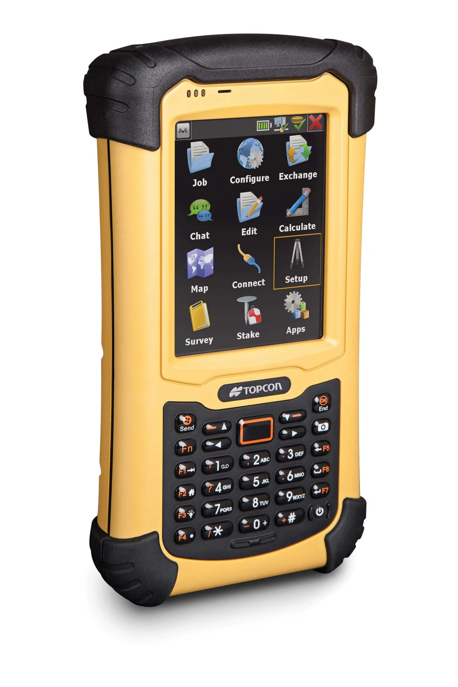
The GT-1200 and GT-600 total stations are offered in multiple accuracy levels and form part of a full workflow solution, including a new field computer, an update to Topcon field and office software, as well as GNSS receivers. The system is designed to work in sync for improved performance and better data handling with built-in, field-to-office connectivity.

The new total stations perform at a faster 10Hz positioning update rate. Combining the GT Series with the new field computer and software improvements, this system is said to make layout easier, and guidance more fluid, within an intuitive map view according to Topcon. This package also allows more layout and survey points to be collected in less time.

Advanced UltraTrac prism tracking combines optical sensing with a new ultrasonic motor control algorithm designed to maintain superior prism-lock. From a software perspective, MAGNET improves field-based quality reporting and data handling for larger files, graphical processing, and 3D models.

An optional upgrade incorporating Hybrid Positioning technology helps advanced users get instant location updates via GNSS receivers so positioning data points can be captured, even with the loss of line of sight from jobsite obstructions.

The GT Series workflow solution, MAGNET software, FC-6000 field computer, and HiPer Series GNSS receivers, combines for digital processes designed to increase precision, reduce rework, and improve quality control.  

For more information on companies in this article

Related Content

  • Topcon unveils FC-336 date controller
    March 27, 2014
    Topcon has unveiled its new FC-336 data controller designed specifically for the construction industry. In addition to providing field crews with access to MAGNET Enterprise to send and receive data files, the new controller operates with Topcon MAGNET Field, Site and Layout software, as well as Topcon Pocket 3D. A compact and lightweight handheld controller, the FC-336 works with all Topcon GNSS receivers and total stations.
  • Wider range of survey software functionality
    February 9, 2012
    Leica Geosystems is offering a broad spread of new packages and hardware that will deliver improved performance to users. The firmware 2.0 product is said to add powerful new capabilities to the Leica ScanStation C10, the industry's most popular 3D laser scanner for as-built and topographic surveys. This further increases the productivity and versatility of the fully integrated, cable-less ScanStation C10. A new Setup facility lets users take advantage of known survey points and backsighting, while remote,
  • Topcon’s action station
    October 31, 2012
    Topcon Europe Positioning (TEP) has launched a new, professional-grade robotic total station – the PS series – which the firm says is designed to surpass the power, accuracy and capabilities of its peers. The PS is said to utilise Topcon’s new PowerTrac technology to increase the prism tracking power. “Using new optics, laser system and advanced algorithms, PowerTrac provides the PS with the ability to keep tracking a moving prism even under the toughest environmental conditions,” said Leighton Davies, surv
  • Positioning tools continue to improve
    July 16, 2012
    Topcon says that its new IP-S2 package combines GNNS positioning capabilities with inertial sensors, while the firm also has a solution for customers wanting to mix and match receiver components. The IP-S2 is a vehicle-mounted, mobile 3D tool that offers precision mapping and surveying capabilities. The package collects data using 3D laser scanners, LIDAR, and/or cameras, and this is then integrated, time-stamped and geo-referenced. The customer can use this assembled data to combine LIDAR point cloud and d