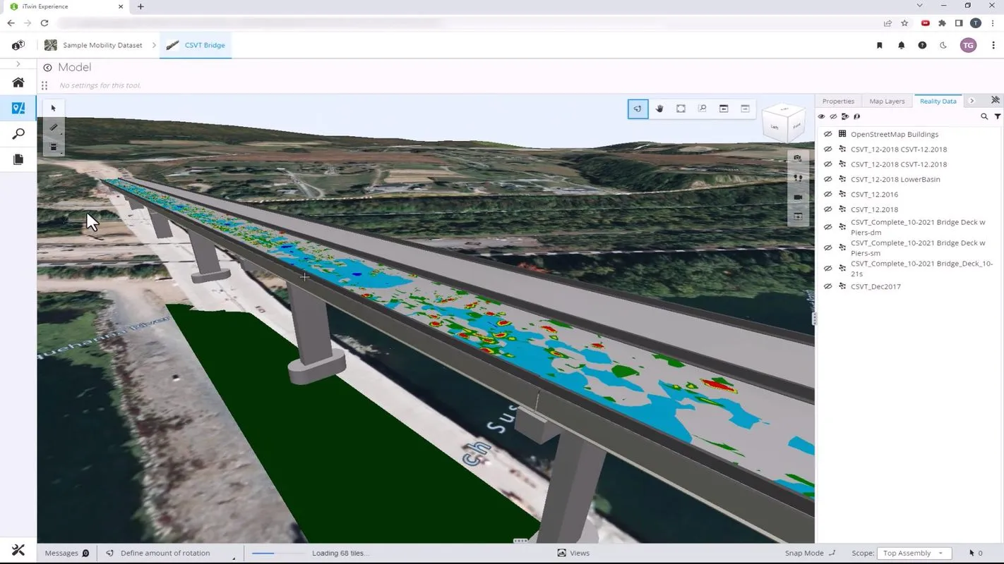
New project software developed by Bentley

Bentley Systems claims that its OpenRoads ConceptStation modelling package allows highway engineering professionals to quickly build conceptual road and bridge models. The software allows rapid conceptual and preliminary design, using information obtained through point clouds, reality meshes, GIS, and other sources. OpenRoads ConceptStation combines engineering drawing tools and project costs to improve decision-making in the design phase. Benefits include increasing design productivity, identifying
February 8, 2018 Read time: 2 mins

4019 Bentley Systems claims that its OpenRoads ConceptStation modelling package allows highway engineering professionals to quickly build conceptual road and bridge models. The software allows rapid conceptual and preliminary design, using information obtained through point clouds, reality meshes, GIS, and other sources.

OpenRoads ConceptStation combines engineering drawing tools and project costs to improve decision-making in the design phase. Benefits include increasing design productivity, identifying potential high-risk items, and minimising development costs. Once the optimal design is identified, the user can upload the model to OpenRoads and OpenBridge to streamline highway and bridge design. OpenRoads ConceptStation models can be brought forward for detailed design work into OpenRoads Designer, ensuring that both the work and the data already generated is used as the project moves from concept through construction.

The package allows GeoCoordination services to find, download, import, and georeference contextual information to support 3D design modeling workflows, including point clouds, 3D reality meshes, terrain data, images, and GIS information. Engineering sketching tools can be used to create 3D models rapidly, and to design roads, bridges, ramps, guardrails, retaining walls, and other infrastructure designs. It offers automated generation of costs for the design, allowing engineers and planners to identify high-cost items or potential risks in the project, extract quantities, and analyse project costs. Integration of Bentley’s LumenRT visualisation and reality modelling software means that the user can produce real-time, realistic scenes without the need for intensive and lengthy pre-rendering. And the integration of PTV VISSIM also allows users to incorporate traffic analysis and planning for OpenRoads conceptual or detailed design.

Related Content

  • Bentley's iTwin Experience, Capture and IoT
    November 24, 2022
    Bentley Systems has launched iTwin Experience, iTwin Capture and iTwin IoT to improve the performance of its digital twin analysis platform iTwin.
  • Bentley Systems expanding through acquisition
    May 14, 2019
    Bentley Systems continues to expand its operations through acquisitions. The firm is now further developing its portfolio with the acquisition of Keynetix, a UK-headquartered provider of cloud-based software for capturing, visualising, modelling, and sharing of geotechnical data. The company says that the addition of Keynetix software expands its geotechnical offerings and allows it to develop subsurface digital twins for infrastructure projects and assets. According to the company, subsurface digital twi
  • Bentley’s OpenBridge for Cebu-Cordova link
    February 7, 2024
    The OpenBridge software solution from Bentley Systems played a key role in the development of the Cebu-Cordova bridge project in the Philippines.
  • Latest GIS and software tools improve operations
    February 24, 2012
    Innovative GIS and software solutions are coming to market from the three key market players - Mike Woof reports Competition is strong in the field for GIS and surveying systems as well as the associated software. The three major players in the sector, Leica Geosystems, Topcon and Trimble, all invest heavily in research and development and continue to roll out new solutions for construction customers that will boost the efficiency of surveying as well as overall project implementation.