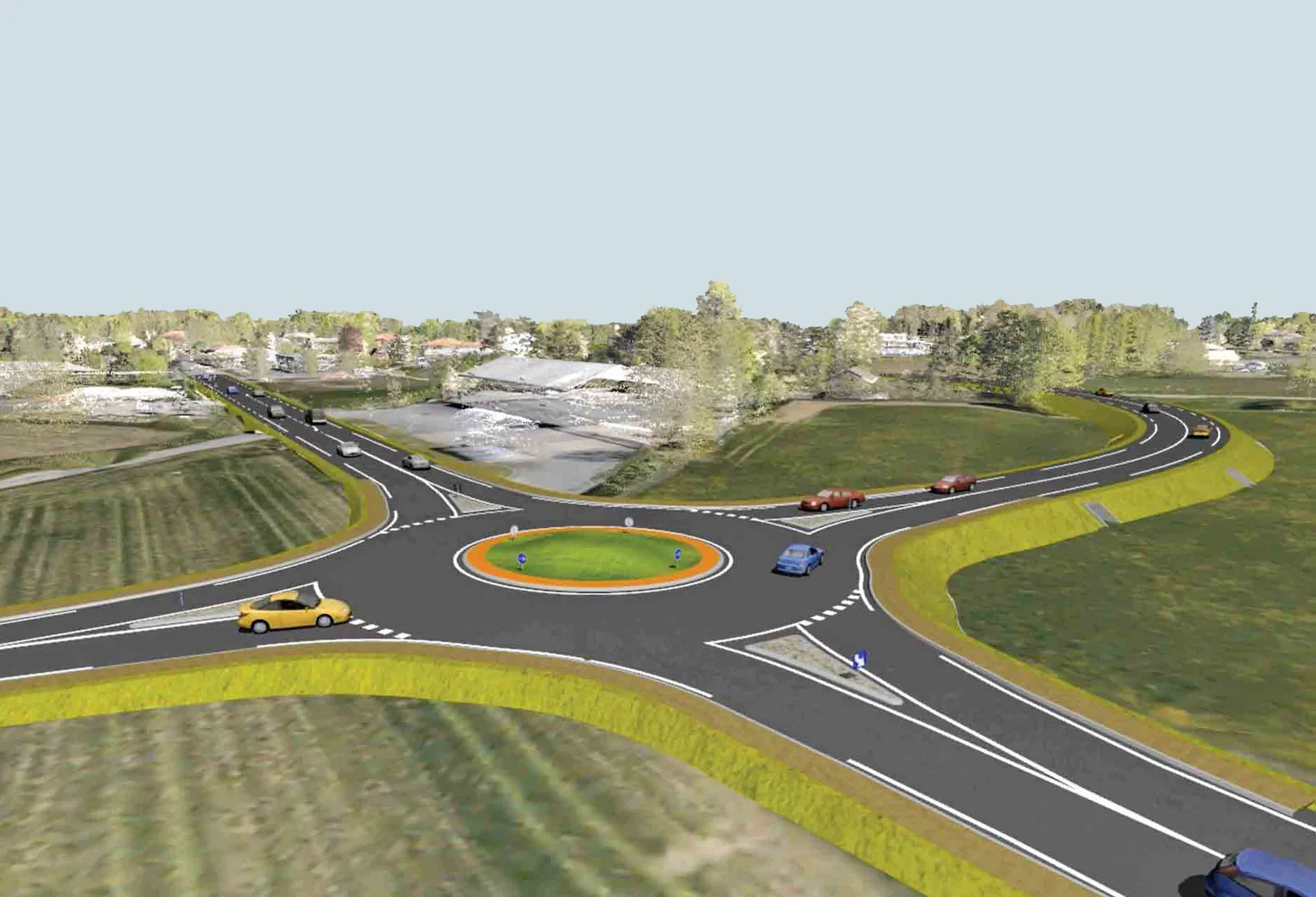
New project software developed by Bentley

Bentley Systems claims that its OpenRoads ConceptStation modelling package allows highway engineering professionals to quickly build conceptual road and bridge models. The software allows rapid conceptual and preliminary design, using information obtained through point clouds, reality meshes, GIS, and other sources. OpenRoads ConceptStation combines engineering drawing tools and project costs to improve decision-making in the design phase. Benefits include increasing design productivity, identifying
February 8, 2018 Read time: 2 mins

4019 Bentley Systems claims that its OpenRoads ConceptStation modelling package allows highway engineering professionals to quickly build conceptual road and bridge models. The software allows rapid conceptual and preliminary design, using information obtained through point clouds, reality meshes, GIS, and other sources.

OpenRoads ConceptStation combines engineering drawing tools and project costs to improve decision-making in the design phase. Benefits include increasing design productivity, identifying potential high-risk items, and minimising development costs. Once the optimal design is identified, the user can upload the model to OpenRoads and OpenBridge to streamline highway and bridge design. OpenRoads ConceptStation models can be brought forward for detailed design work into OpenRoads Designer, ensuring that both the work and the data already generated is used as the project moves from concept through construction.

The package allows GeoCoordination services to find, download, import, and georeference contextual information to support 3D design modeling workflows, including point clouds, 3D reality meshes, terrain data, images, and GIS information. Engineering sketching tools can be used to create 3D models rapidly, and to design roads, bridges, ramps, guardrails, retaining walls, and other infrastructure designs. It offers automated generation of costs for the design, allowing engineers and planners to identify high-cost items or potential risks in the project, extract quantities, and analyse project costs. Integration of Bentley’s LumenRT visualisation and reality modelling software means that the user can produce real-time, realistic scenes without the need for intensive and lengthy pre-rendering. And the integration of PTV VISSIM also allows users to incorporate traffic analysis and planning for OpenRoads conceptual or detailed design.

Related Content

  • Highway design software developments
    February 21, 2012
    New advanced software is being released for use by those involved in highway design as Adrian Greeman reports. The growing importance of BIM, building or project information modelling, as a design and construction process, and not just 3D modelling, is the driving force for the latest 2012 versions of Autodesk's comprehensive range of software for civil engineers. This is reflected in a new packaging of its various software tools into suites (along the lines of Microsoft's office suites) tailored to variou
  • Ontario opts for Power InRoads design tools
    June 12, 2012
    One of Canada's largest provinces, Ontario, has decided to go with the latest Power InRoads suite of design tools now being offered by Bentley Systems as a complete stand-alone version As well as the Inroads tools, that means Ontario's Ministry of Transportation will use drafting and document production by the MicroStation CAD tool, and mapping and GIS functionality from Bentley Map. It previously used InRoads for highways work but on an AutoCAD platform. The whole new package is also designed to work co
  • Bentley creates digital production chain for Pont-de-Veyle bypass
    September 14, 2016
    Pont-de-Veyle is a picturesque village of around 1,600 people in France’s eastern Rhones-Alps region. Being in a tourist area and close to major towns and cities meant that traffic – around 9,000 vehicles a day through its small streets – was becoming a concern The village sits about 30km from the larger town of Bourg-en-Bresse, towards the Swiss border. It also lies around 60km from the city of Lyon, all in the Department of Ain. The regional administrative authority Ain created the Conseil Départementa