New positioning tools streamline survey operations

Trimble has launched a range of new tools which it says will deliver faster and more accurate data to surveyors. The Trimble S6 Robotic Total Station with Trimble Vision Technology enables surveyors to remotely see and measure through a live video feed from the instrument on their data controller.
March 14, 2012 Read time: 2 mins

Trimble has launched a range of new tools which it says will deliver faster and more accurate data to surveyors.

The 2122 Trimble S6 Robotic 344 Total Station with Trimble Vision Technology enables surveyors to remotely see and measure through a live video feed from the instrument on their data controller. By integrating survey data with the live video, surveyors can verify their work and ensure that they have captured everything before leaving a site.

Meanwhile, the Trimble M3 Total Station with Trimble Access Field Software allows surveyors to import road definitions from third-party sources, enabling users to input a complete road definition including horizontal and vertical alignments, templates and superelevation, and widening records. Users are guided through fast offsets, slope staking, real-time redesign and real-time quality control.

Further new tools include the Trimble GeoExplorer, the Trimble Business Center Software version 2.60, and the Trimble Access Field Software Developers Kit (SDK).
Anders Rhodin, director of Trimble’s Survey Business, said: “Trimble’s portfolio of solutions gives surveyors improved workflows for field data collection, enhanced collaboration between the field and the office and tools to output final deliverables to clients. In total, the solutions can streamline operations to help keep project costs on target."

For more information on companies in this article

Related Content

  • Piling accurately with Trimble’s new tool
    June 10, 2019
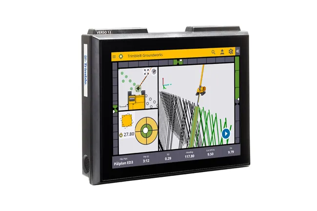
    Trimble is offering a new system that can help to boost the quality of drilling and piling work. The firm’s new Groundworks Machine Control System has been developed as a streamlined machine control solution for drilling and piling operations that helps optimise productivity and quality. The firm claims that this highly sophisticated system allows contractors to carry out drilling and piling operations more quickly, safely and accurately than using conventional methods. “Engineered for ease of use, Trim
  • Trimble’s new georeferencing package
    March 13, 2017
    Trimble company Applanix is now offering the POSPac MMS 8 package, an advanced GNSSaided inertial post-processing software for georeferencing data. This information can be collected from cameras, LIDARs, multibeam sonars and other sensors on mobile platforms. Using the Trimble CenterPoint RTX subscription service with the RTX technology, POSPac MMS 8 is said to offer new capabilities for mobile mapping from land, air, marine and UAV platforms. It can offer centimetre-level accuracy within one hour aft
  • Trimble’s GCS900 3D system makes the grade with Bobcat
    November 20, 2015
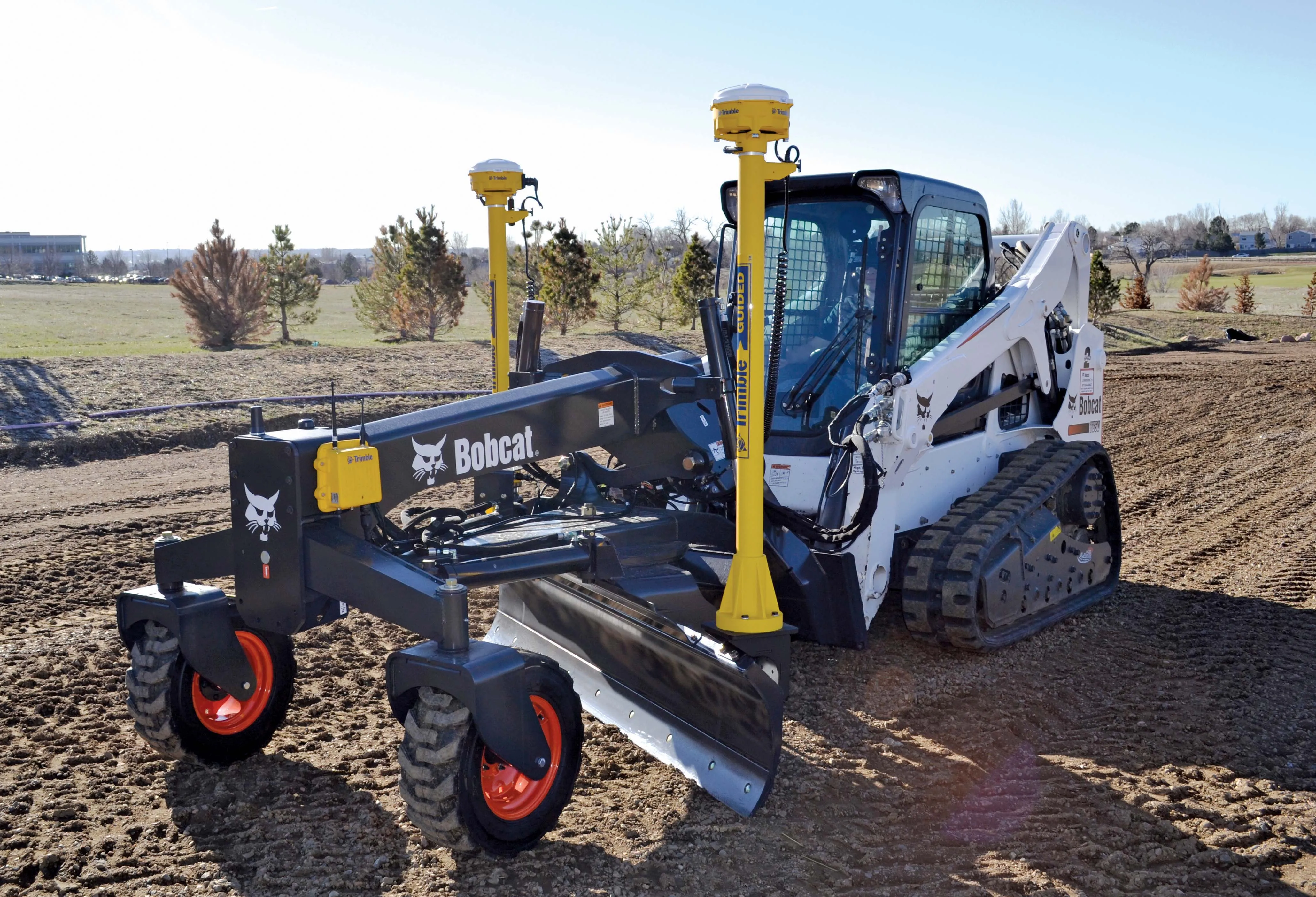
    Trimble’s GCS900 3D system for grade control is now available as an upgrade from the 2D laser-guided and sonic/slope systems already offered by Bobcat. The Trimble GCS900 is extremely flexible and can be used on excavators, dozers, motor graders, compactors, scrapers, trimmers, and milling machines. The GSC900 cab be used both as a single unit, or as an upgrade from a GCS600 Grade Control System.
  • Key developments are changing the face of the machine control market
    April 4, 2013
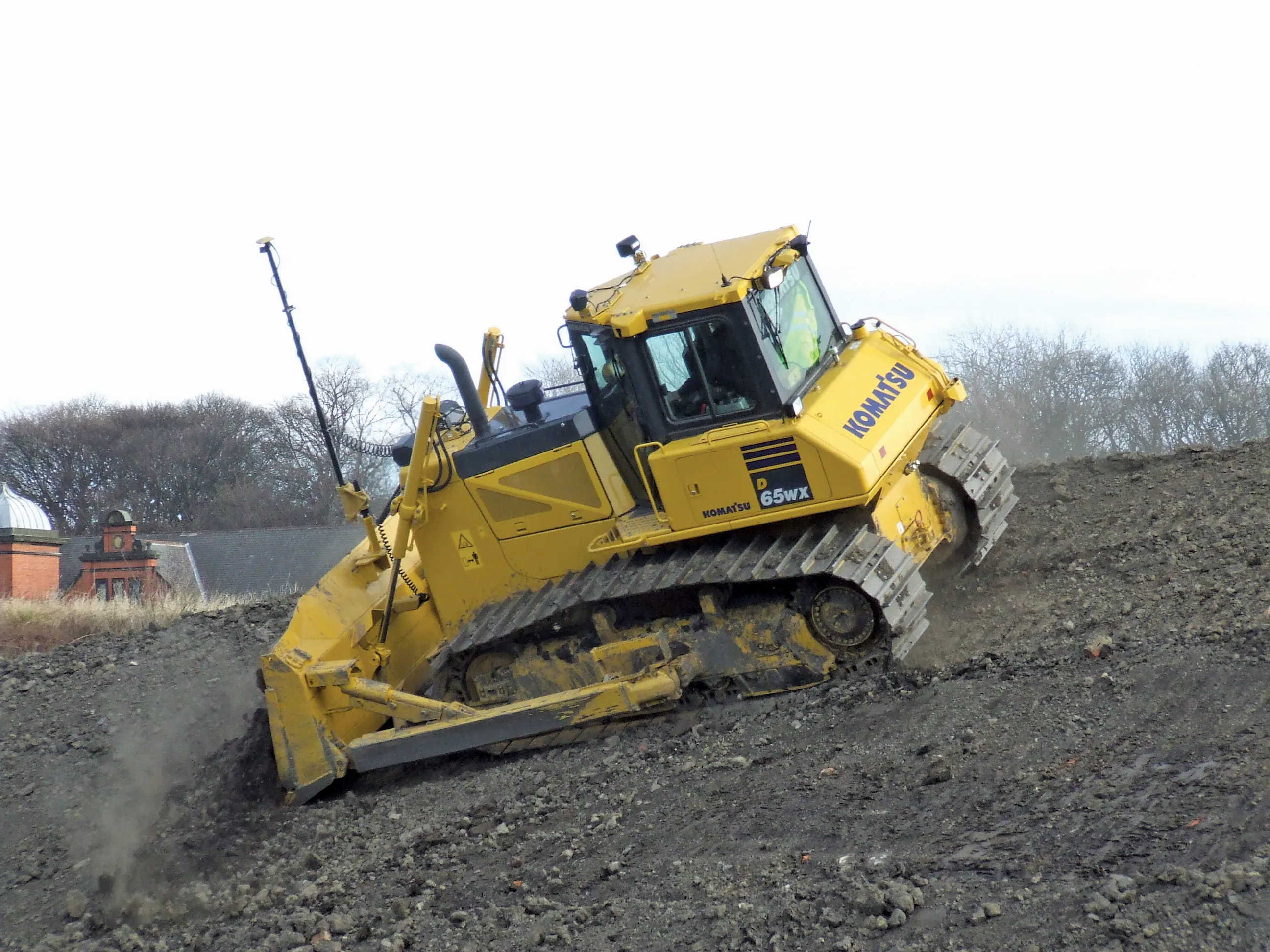
    Various business moves are changing the face of the machine control sector - Mike Woof reports An array of developments, both business moves and new technologies, are changing the focus for the machine control segment of the construction equipment sector. For a long time three firms, Leica Geosystems, Trimble and Topcon, have dominated this segment. The three are retaining their strong positions in the market but are seeing additional competition from Hemisphere and MOBA. Arguably the biggest news is that T