New positioning tools streamline survey operations

Trimble has launched a range of new tools which it says will deliver faster and more accurate data to surveyors. The Trimble S6 Robotic Total Station with Trimble Vision Technology enables surveyors to remotely see and measure through a live video feed from the instrument on their data controller.
March 14, 2012 Read time: 2 mins

Trimble has launched a range of new tools which it says will deliver faster and more accurate data to surveyors.

The 2122 Trimble S6 Robotic 344 Total Station with Trimble Vision Technology enables surveyors to remotely see and measure through a live video feed from the instrument on their data controller. By integrating survey data with the live video, surveyors can verify their work and ensure that they have captured everything before leaving a site.

Meanwhile, the Trimble M3 Total Station with Trimble Access Field Software allows surveyors to import road definitions from third-party sources, enabling users to input a complete road definition including horizontal and vertical alignments, templates and superelevation, and widening records. Users are guided through fast offsets, slope staking, real-time redesign and real-time quality control.

Further new tools include the Trimble GeoExplorer, the Trimble Business Center Software version 2.60, and the Trimble Access Field Software Developers Kit (SDK).
Anders Rhodin, director of Trimble’s Survey Business, said: “Trimble’s portfolio of solutions gives surveyors improved workflows for field data collection, enhanced collaboration between the field and the office and tools to output final deliverables to clients. In total, the solutions can streamline operations to help keep project costs on target."

For more information on companies in this article

Related Content

  • Western Sydney Airport Bulk Earthworks
    November 7, 2023
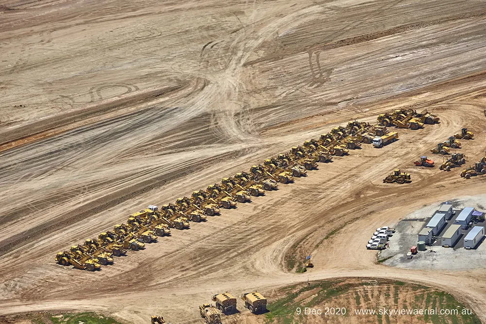
    The massive Bulk Earthworks project, under development by the federal government-owned Western Sydney Airport (WSA), entails construction of an international airport on the western side of Sydney, Australia.
  • Mobile mapping innovation
    June 1, 2022
    There are millions of kilometres of roads and features that need to be mapped in today’s world. We see a strong vision and application for the future, therefore Leica Geosystems, part of Hexagon, recently announced the introduction of the reality capture mobile mapping system Leica Pegasus TRK, introducing artificial intelligence, autonomous workflows and intuitive interfaces. This technology goes beyond the capabilities of what’s already been done, making it the perfect companion for today’s mobile mapping requirements.
  • Innovative GIS software offerings
    July 18, 2012
    The latest construction software developments can speed the construction process overall, Adrian Greeman reports Construction software is by its very nature a very fast moving technology, with new systems coming to the market almost continuously. There are some key developments however, such as major new product launches and market trends. One of the most important developments in the road design sector is the launch of the Bentley Systems V8i versions of its software, including its road design applications
  • Big measuring from TinyMobileRobots
    February 27, 2017
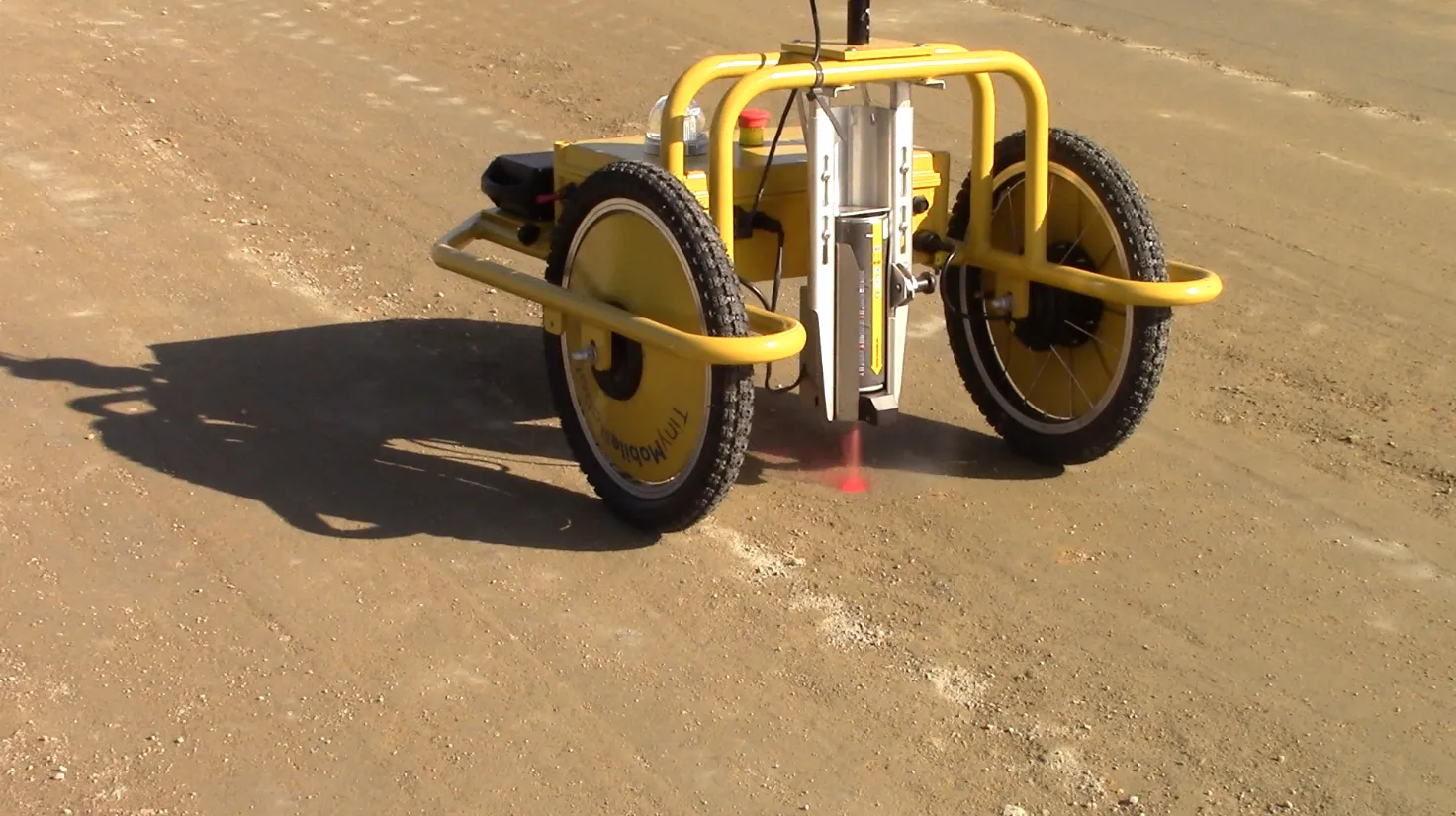
    Small is beautiful, especially when it comes to robots, explains Jens Peder Kristensen, director of Danish company TinyMobileRobots With the increased functionality of outdoor robots, the market for autonomous robots as a replacement for human work has widened. The human touch is still needed when dealing with terrain that is difficult to navigate or with a crowded construction site.